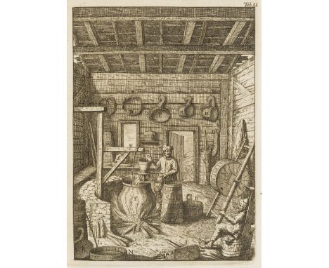
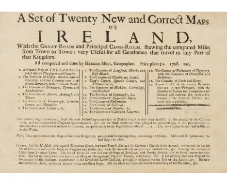
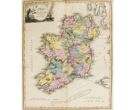
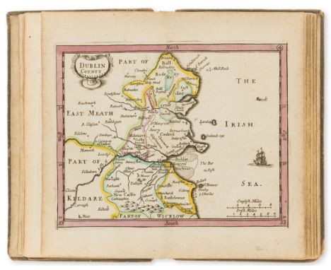
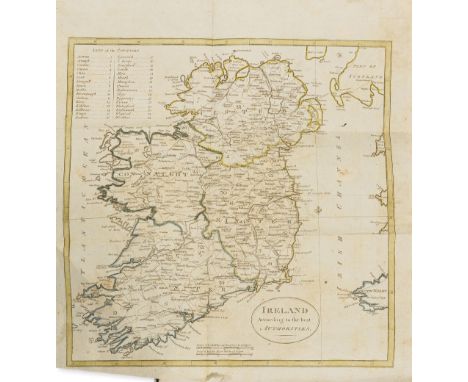
Ireland.- The Present State of Ireland, lacking folding map, trimmed at fore-edge, occasionally touching printed marginalia, A10 repaired with some minor loss to text, small marginal repair to A11, bookplate, 19th century calf, gilt, [Wing P3267], by M.D. for Chr. Wilkinson, 1673 § Barton (Richard) Lectures in Natural Philosophy, designed, to be a foundation for reasoning pertinently upon the petrifications, gems, crystals, and sanative quality of Lough Neagh in Ireland, engraved frontispiece and 5 plates (3 folding), frontispiece laid down, list of subscribers, woodcut illustrations, occasional minor soiling, 19th century half morocco, spine faded, Dublin, by A.Reilly, 1751 § [Smith (Charles, attrib.) The Antient and Present State of the County of Down, engraved folding map, bookplate, contemporary tree calf, sympathetically rebacked, Dublin, by A.Reilly, for Edward Exshaw, 1744 § McEvoy (John) Statistical Survey of the County of Tyrone, engraved folding map, illustrations, occasional spotting, bookplate of the Duke of Leinster, contemporary half calf, sympathetically rebacked, Dublin, 1802; and another, Ireland, v.s. (5)


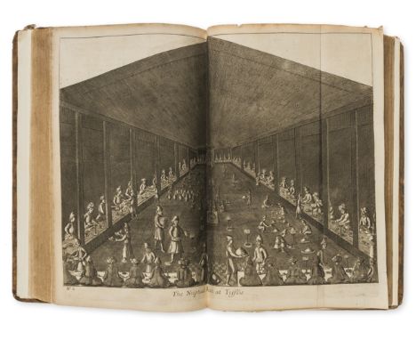


![Voyages.- Cook (James) [Third Voyage] A Voyage to the Pacific Ocean, 4 vol. (including separate Atlas), first Dublin edition,](https://cdn.globalauctionplatform.com/b6934ccb-7922-4e2b-a95a-a88f00e27afa/b8574155-01f0-4a7f-bf60-259233605110/468x382.jpg)


![Ireland.- [Bush (John)] Hibernia Curiosa. a Letter from a Gentleman in Dublin, to his Friend at Dover in Kent, folding engrav](https://cdn.globalauctionplatform.com/b6934ccb-7922-4e2b-a95a-a88f00e27afa/7f411211-cb03-46ee-cef0-9177f3c252d2/468x382.jpg)


![Ireland.- Belfast.- [Joy (Henry)] Historical Collections Relative to the Town of Belfast: From the Earliest Period to the Uni](https://cdn.globalauctionplatform.com/b6934ccb-7922-4e2b-a95a-a88f00e27afa/e0e31509-a984-442d-c7e6-821bd88e0be9/468x382.jpg)


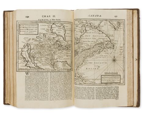
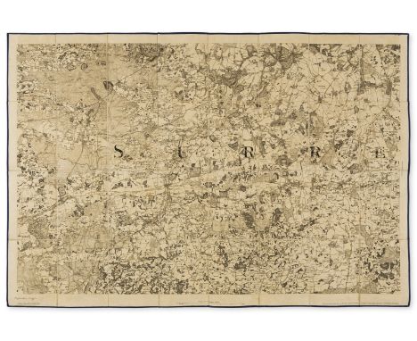
![Cumberland and Midlands.- Geological maps.- Mudge (Lt. Col. William) [Geological Ordnance Survey Map of Cumberland], a compos](https://cdn.globalauctionplatform.com/b6934ccb-7922-4e2b-a95a-a88f00e27afa/290b8653-807c-4832-d002-0430b65680d3/468x382.jpg)
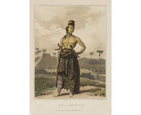
![Java.- [Taylor (Thomas William)] The Lay Of Corneelis: in Three Cantos, first edition, central folds, slightly browned, manus](https://cdn.globalauctionplatform.com/b6934ccb-7922-4e2b-a95a-a88f00e27afa/d6ddc8a9-4b33-4162-fa56-aa206c8d868b/468x382.jpg)