We found 109182 price guide item(s) matching your search
There are 109182 lots that match your search criteria. Subscribe now to get instant access to the full price guide service.
Click here to subscribe- List
- Grid
-
109182 item(s)/page


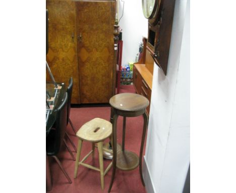
Lot 664
A collection of contemporary pictures and prints including a black and white photographic print of Audrey Hepburn in a scene from Breakfast at Tiffany's, 60 x 80 cm approx, a further reproduction Audrey Hepburn poster - Sabrina, a poster for the 2012 Olympic Games, a collage on the theme of Loveheart sweets against different printed backgrounds, an Alfred Wallis 50th anniversary poster, a black and white print of a tightrope walker in a city scene, a French map of the river Lot, etc

Lot 39
Campbell, John Rev. TRAVELS IN SOUTH AFRICA UNDERTAKEN AT THE REQUEST OF THE LONDON MISSIONARY SOCIETY BEING A NARRATIVE OF A SECOND JOURNEY IN THE INTERIOR OF THAT COUNTRY, 2 VOLS London: Francis Westley, 1822 First edition. With coloured map and 12 hand-coloured aquatints. These are in sparkling condition with no foxing. Probably the finest example of these seen for many years. Book in unread condition. Internal hinge crack to Vol. 1 but this has not loosened any pages. Half leather and marbled cover boards, new endpapers. Rebind probably carried out 60 years ago. John Campbell (1766 – 1840) was a well-known missionary and traveller. After establishing various philanthropic societies in Scotland he arrived in the Cape in June 1812 to inspect the various missions. His travels inspired “Travels in South Africa, undertaken at the request of the Missionary Society” and was published on his return to London in 1815. (2)


Lot 976
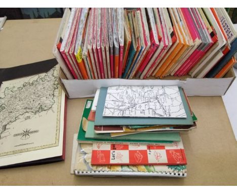
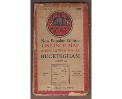
Military-A mixed lot, two copies of the British Army Review for April and October 1961, seven instruction manuals issued by the United States Army Aviation Centre, Fort Rucker, Alabama, including map reading and military symbols, there is also (5) tubes of 'Sunday Times' film strips and explanatory pamphlets on various subjects for schools dated 1966.

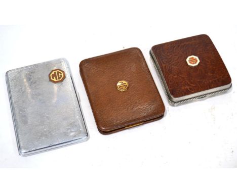
Lot 2053
MG Interest: A Vintage Stratton Brown Leather Hinged Cigarette Case; A Sylva Chrome Plated Cigarette Case, with engine turned decoration, the lid engraved with a map of Great Britain and Ireland; and A Nickel and Brown Leather Hinged Cigarette Case (3) Buyer's premium of 20% (+VAT) applies to this lot


Lot 76
CELLARIUS / SCHENK AND VALK. A RARE GROUP OF FOUR CELESTIAL MAP CHARTS.C.1708 (AMSTERDAM) FROM THE ORIGINAL CELLARIUS' ATLAS HARMONIA MACROCOSMICA SEU ATLAS UNIVERSALIS .PLATES OF 1660/1 . HAND TINTED... SOLICIR TERRARUM REVO , CA ORBEM SPIRALIS LUTIO / SITUS CIRCULIS CIRCUN, TERRA COELESTIBUS DATAE / SCENOGRAPHIA MUNDANAE, COPAGIS BRAHEA / SCENO SYSTEMATIS PTOLE, GRAPHIA MUNDANI MAICI. - (EACH UNIFORMLY FRAMED WITH O'SHEA GALLERY LABELS.) (SIGHT SIZE 52.5 X 43.5CM)


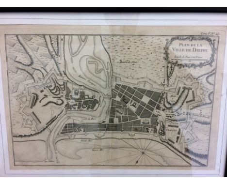
Lot 298
An architectural watercolour of the facade of a stone country house, by Hartshorne Architects, (apparently never built), 56 x 73cm; 'Broughton Hall' a faded watercolour architectural study, 25 x 36cm; "Carte du départment de L'Eure", hand-coloured pen and ink map by ''Legaud'', 1852, 56 x 83 cm (some loss and damaged); together with "Plan de Dieppe", engraving, 1786, (previously folded), 62 x 87 cm; and one other smaller town plan (5)


-
109182 item(s)/page