
Lot 33
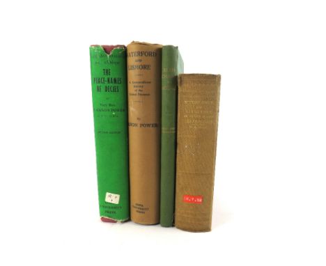
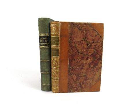
Waterford interest: Egan (P.M.) History, Guide & Directory of City and County of the City of Waterford, Kilkenny c. 1880. First Edn., fold. map, plts., illus. & adverts. orig. cloth; Power (P.) Waterford & Lismore A Compendious History of the United Dioceses, Cork 1937, & The Place-Names of Decies, 8vo Cork 1952. Both First Edns., & d.w.'s; Sheehan (Rev. M.) Sean-Chaint na nDeise - The Idiom of Living Irish, Dublin 1944, First Edn., Emf. Good. (4)


![[Taylor (Sir Herbert)] 'An Officer,' Impartial Relation of the Military Operations which took place in Ireland,&nbs](https://cdn.globalauctionplatform.com/46a59df0-c6ec-4f30-b087-b0ba00c5188a/06ae418b-d267-45e7-b8b8-b0c100f63521/468x382.jpg)
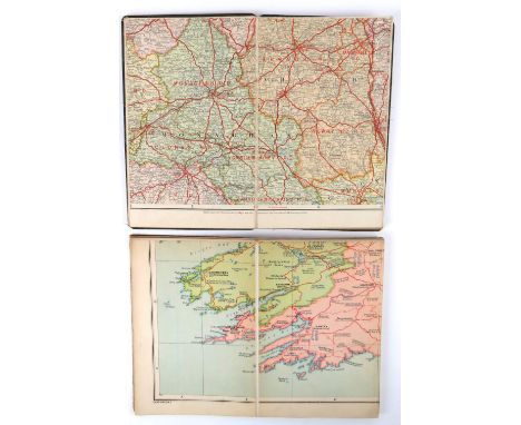
![Map: [London Railway] The District Railway - Map of London, 5th Edition, published by W.J. Adams & Sons, coloured fo](https://cdn.globalauctionplatform.com/46a59df0-c6ec-4f30-b087-b0ba00c5188a/32a3163a-b28f-4d67-b3c7-b0c100f64a2d/468x382.jpg)


![Irish Maps: [Speed (J.), Janson(J.), Hondius (J.)] A set of four hand coloured Maps, to include: * Provincia Connachtiae - Pr](https://cdn.globalauctionplatform.com/46a59df0-c6ec-4f30-b087-b0ba00c5188a/6d60f41f-35dc-466d-a1aa-b0c100f65094/468x382.jpg)


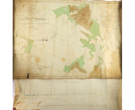
![Rare County Galway Manuscript Map Map: Co. Galway - [Logan (Michael) cartographer] A Survey of the Lands of Pallase and](https://cdn.globalauctionplatform.com/46a59df0-c6ec-4f30-b087-b0ba00c5188a/9236a9f3-a6e1-4c1e-a677-b0c100f652e4/468x382.jpg)


![Map: [Austria] (Mansfeld, Kupferstich et al) Grundriss der Stadt Wien 1818 - Zu haben bey Artaria und Comp. am Kohlmarkt](https://cdn.globalauctionplatform.com/46a59df0-c6ec-4f30-b087-b0ba00c5188a/5a2bc07e-9a72-45aa-ae14-b0c100f71db3/468x382.jpg)