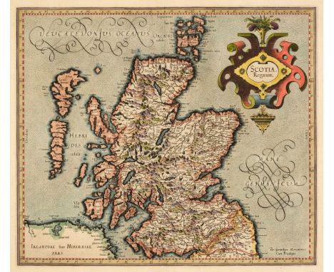
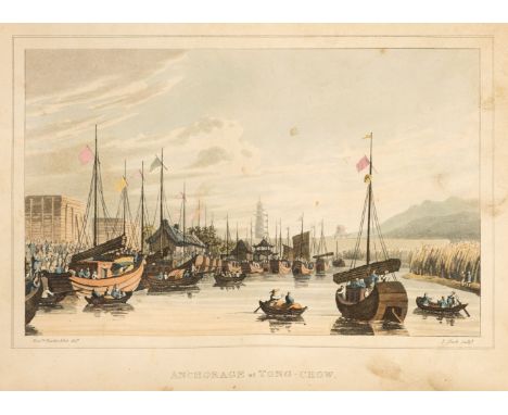
Anderson (Aeneas). A Narrative of the British Embassy in China, in the years 1792, 1793, and 1794, 2nd edition, London: J. Debrett, 1795, some light spotting and soiling, previous owner signature, contemporary sheep-backed boards, some wear, 8vo, together with [Bartlett, William Henry]. Forty Days in the Desert on the Track of the Israelites; or, a Journey from Feiran, by Wady Feiran, to Mount Sinai and Petra, 1st edition, London: Arthur Hall, circa 1848, frontispiece and additional title, folding map (with split along one fold), steel-engraved illustrations, occasional minor spotting, contemporary presentation inscription, all edges gilt, contemporary morocco gilt, 8vo, plus Lossing (Benson J.) The Hudson, from the Wilderness to the Sea, 1st edition, New York: Virtue and Yorston, [1866], steel-engraved frontispiece, illustrations, a little minor spotting, bookplates and contemporary presentation inscription, all edges gilt, contemporary morocco gilt, slightly rubbed, 8vo, with 6 others including Edward Whymper's Scrambles Amongst the Alps in the Years 1860-69, fifth thousand, 1871, Thomas Bacon's The Orientalist, second series, 1842, Heath's Picturesque Annual for 1833 and two Landscape Annuals for 1830 and 1834Qty: (9)


![* Eastern Europe. Waldseemuller, Sarmatia (Tabula VIII Europae), Laurent Fries, Lyon [1535], hand-coloured woodblock Ptolemai](https://cdn.globalauctionplatform.com/10fe502f-d88e-4615-8dd7-ad5900f01de2/547add4c-17e5-4d99-be37-ad59011126d4/468x382.jpg)


![Holy Land and Palestine. Weigel (Christopher), Terra Sancta in XII olim Tribus nunc VI Provincias Dispertita..., [1712], engr](https://cdn.globalauctionplatform.com/10fe502f-d88e-4615-8dd7-ad5900f01de2/cc6c4ebb-28f4-4374-ba87-ad5901112b53/468x382.jpg)


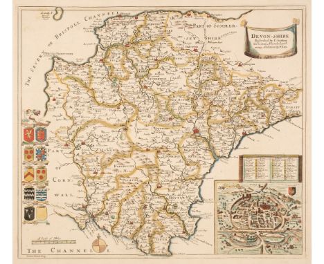
![Morden (Robert). Devonshire, Gloucestershire, Midlesex & Worcestershire [1695 or later], together four hand-coloured engr](https://cdn.globalauctionplatform.com/10fe502f-d88e-4615-8dd7-ad5900f01de2/8ddf39e3-9b7e-4694-bb51-ad5901113285/468x382.jpg)


![North & Central America. Chatelain (Henri Abraham),Carte contenant le Royaume du Mexique et la Floride..., Paris [1719],](https://cdn.globalauctionplatform.com/10fe502f-d88e-4615-8dd7-ad5900f01de2/6b91f027-723a-479e-bf43-ad59011136f3/468x382.jpg)


![* Poland. Von Pufendorf Samuel Baron), Dantiscum, Nuremberg [1696], engraved hand-coloured map of the city of Gdansk, with a](https://cdn.globalauctionplatform.com/10fe502f-d88e-4615-8dd7-ad5900f01de2/aa7f601a-7455-42e3-8570-ad590111428f/468x382.jpg)