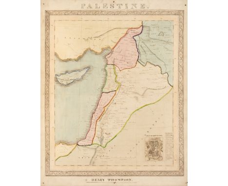

Lot 118
Manuscript Maps. Thompson (Henry), Palestine, circa 1850, pen, ink and watercolour map, inset map of Jerusalem, slight dust soiling, pinholes to each corner, laid on later card, 510 x 400 mm, together with Rolfe (T.). South America, circa 1850, large pen, ink and watercolour map, some marginal fraying and short closed tears, some dust soiling, 760 x 630 mm, with Hammond (John). The Western Hemisphere, 1857, pen. ink and watercolour map of the Americas on card, set with a gilt printed border, slight spotting, 365 x 290 mm, plus an album (dated 1898) containing four naive manuscript maps (East Indies, The Americas, West Indies & Africa) contemporary half morocco with a manuscript label to the upper cover, binding size 340 x 215 mmQTY: (4)
![Bible [English]. The Bible: that is, the Holy Scriptures conteined in the Old and New Testament. Translated according to the](https://cdn.globalauctionplatform.com/6810be4c-aba0-4a1d-b78f-b0050118a8d8/06b47207-5077-4ca3-a474-b0150108f2f9/468x382.jpg)


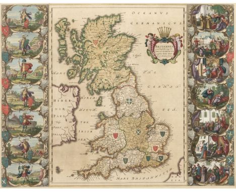


![Hungary. Speed (John), The Mape of Hungari, newly augmented..., Thomas Bassett & Richard Chiswell [1676], hand-coloured](https://cdn.globalauctionplatform.com/6810be4c-aba0-4a1d-b78f-b0050118a8d8/683e6bb6-9853-4ee0-a57a-b0150108b960/468x382.jpg)
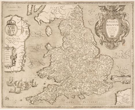
![* Ireland. Ortelius (Abraham), Eryn. Hiberniae Britannicae Insulae nova descriptio [1606], engraved map with contempoary outl](https://cdn.globalauctionplatform.com/6810be4c-aba0-4a1d-b78f-b0050118a8d8/91d60df2-9726-46da-9eaf-b0150108bab9/468x382.jpg)