We found 109182 price guide item(s) matching your search

Refine your search

Year

Filter by Price Range
  • List
  • Grid
  • 109182 item(s)
    /page

Lot 223

ANTIQUE MAP. A hand coloured map of Cornwall & the Isles of Scilly by Theunisz Jacobsz. Image size 43 x 53cm.

Lot 188

FLIGHT MAPS ETC.A map bag named Cromby, containing 17 various air ministry maps for Berlin, Casablanca, Straits of Dover. Also two Canadian Department of Mines & Resources navigational maps & five annotated 1940's small flight maps, including pencil notations.

Lot 204

CAPTAIN LYON R.N. - "A Brief Narrative of an Unsuccessful Attempt to Reach Repulse Bay" with map

Lot 386

Blaeu (J): Principatius Benearnia, uncoloured engraved map circa 1650, 51 x 39.5cm, unframed

Lot 325

A printed map of London in a black frame, H:54cm x W:74cm, together with an oil on board of sailing boat, signed Bruce Smith

Lot 45

A 20th Century apocrathy raised map of South America

Lot 129

Two colour prints to inc 'A New Map of the World with Captain Cook's Tracks'; together with a double mounted architectural montage

Lot 292

Original Normandy Invasion Aerial Photograph scale 1:25000 (3718 SE ) Covers area from Arromanches les Bains in the west to Bernieres sur Mer in the East, going as far inland as Creully. On reverse stunning aerial views just above shoreline with gun positions, houses and key references points shown, three sectional views. Linen backing marked, photographs in very good condition, tipped-in letter from Imperial War Museum describing coverage of map.

Lot 242

Great War Trench Map of Battle of Passchendaele Interest, 1-10,000 scale map showing the area of the Northern part of the battlefield. Trenches correct as of 17th March 1918. Folded condition.

Lot 300

Two German Photograph Collections, The first Finland 1941. Interesting and well captioned collection providing a detailed account of the work of a bridge building unit in Finland. Of particular interest is the bridge "B-300" built at Kemijarvi in Lapland, which is illustrated stage by stage. A visit by Generaloberst V.Falkenhorst to the bridge and the unit is well illustrated. Other images show a Mark III tank being ferried over, air raid damage and other projects, supported by a slightly stained hand drawn map of the area NW of Oulu 103 photographs with pages laced together. The second a stapled photographic report of a bridge building unit part of Pioneer Regiment 4 illustrating the rebuilding of a railway bridge in 1941 at " Platy-Tschiflik" Bulgaria? very good images well captioned 36 photographs. The two collections/albums.

Lot 241

Great War Maps Belonging to Major-General W.H.Greenly. Interesting and in some cases important original maps used by General Greenly, who commanded the 2nd Cavalry Division. It was while in this command that Greenly was involved in the cavalry aspects of the planning of the great Tank attack at Cambrai with its expected breakthrough and one map shows all the bridges and crossing points from Havarincourt and to the West and North West of Cambrai marked in his hand with numbers and descriptions supported by a marginal key, the front of the map shows Greenly's signature. Various other maps show front lines and what appear to be objectives. Note Greenly was keen to take over a more active command than the cavalry and in the crisis of March 1918 took over the 14th Division under Gough only to be relieved having suffered something of a breakdown. 17 maps in all.

Lot 103

CARL ZEISS JENA SKETCHMASTER USED FOR SUPERIMPOSING AN AERIAL PHOTOGRAPH ON TO A MAP AT AN APPROPRIATE SCALE, IN ORIGINAL BOX WITH INSTRUCTION MANUAL.

Lot 7

A selection of early local map prints Westmoreland, Cumberland and Northumberland

Lot 416

A limited edition, framed 'Silver Map of Great Britain' with certificate plus a silver royal wedding commemorative dish also with certificate. Map Approx 50x70cm

Lot 1653

An 1801 edition of 'The Chase- a poem by William Somerville Esq.printed by James Cundee, London and a fifth 1788 edition of Owen's 'The New Book of Roads or a description of of the roads of Great Britain', printed for B.Law, J.Johnson and others, complete with original fold out map

Lot 1347

A framed Street Map, of Bishops Ward Dated 1755, a framed view of Thames Valley, and a view of the river Thanes (3)

Lot 81

A Victorian 'Hawthorn Farm' jigsaw puzzle with reverse map. a tin plate car and a carriage

Lot 354

Emmanuel Bowen, 'engravingMap of the County of Kent Divided into Lathes' and a reprint Speed map of Kent60 x 78cm

Lot 416

Rosemary H Coates'Hunting Countries of Great Britain', signed, l/e No. 626/850, a map of Britannia and a hunting print (3)

Lot 88

Large collection of Ordinance survey maps and a map of Lancashire

Lot 20

Body Map 1980s jersey mythical print red cotton dress, long oversized sleeves and irregular relaxed fit with open neck line. Size UK 10. Measuring 16 inches across bust and 42 inches length. Together with a Body Map Irregular shaped punk era t shirt. Measuring 19 inches across chest and 24 inches length, sleeves measure 30 inches from shoulder to cuff. 21.

Lot 1200

Robert Morden, The North Riding of Yorkshire, hand coloured map; together with a further hand coloured printed map of Cheshire; and a large collection of miscellaneous pictures and prints

Lot 1173

A 19th century bound hand coloured ordnance survey map of Bradford dated 1852 together with various volumes on York and its surrounding areas

Lot 1201

A group of framed articles including a map, ''The Road from Carlisle to Rarwick'', Owen Bowen 1720, a marquetry panel etc.

Lot 6

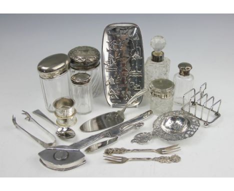
A collection of silver and white metal wares, to include; a Dutch silver straining spoon, a navette shaped white metal snuff box set with a King George IV coin, a Swedish white metal souvenir dish modelled with a map of the country, buildings and scenes, signed to bottom left corner, with a small plated toast rack and silver and plate mounted toilet jars (Qty)

Lot 370

ROSS (M) & SOMERVILLE (O), A PATRICKS DAY HUNT, with eight colour plates, oblong green folio, Archibald Constabel & Co; with W.H SMITH & SONS, PLAN OF LIVERPOOL, folding linen backed coloured map with green covers (2) (at fault)

Lot 377

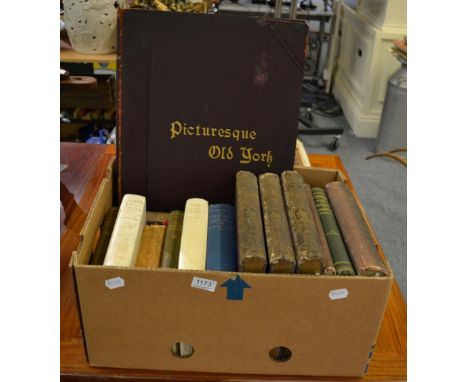
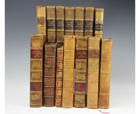
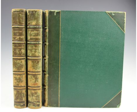
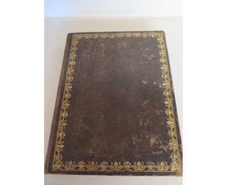
POTTER (J), ANTIQUITIES OF GREECE, engraved plates, full mottled tan calf, Oxford, 1697; POTTER (J), ANTIQUITIES OF GREECE, 2 vols, folding frontis map, Edinburgh, 1820; THIERS (M), THE HISTORY OF THE FRENCH REVOLUTION, five vols, engraved plates, London, Bentley, 1839, with other bindings etc (Qty)

Lot 344

COLLINSON REV. (J), THE HISTORY AND ANTIQUITIES OF THE COUNTY OF SOMERSET, three vols, engraved folding map and forty plates, later 3/4 leather with cloth boards, Bath, Cruttwell, 1791 (3)

Lot 672

An antique map Buthe Insula The Rise of Boot Auct Tim Pont - 42cm x 53cm

Lot 609

Four Trinity Hall prints, Two signed Oliver Rae and a map of Cambridge - 19 x 26 cm

Lot 643

A coloured map of Africa C. Dilly engraved for Guthrie's new system of Geography 1792 - 35cm x 37cm and a map of Asia dated 1800 - 31cm x 25cm

Lot 1367

Shepherd, T.H. - Metropolitan Improvements in London, 1829 with 75 plates each with two engravings and a map

Lot 194

A vintage Autocar sectional road map of England and Wales

Lot 746

T Bowen, Hand Coloured Engraving Map ' A Correct Map of the United States of North America '

Lot 417

Collection of vintage map booklets

Lot 658

Antique Hand Coloured Engraved Map of Sussex together with Three Replica Maps

Lot 762

Framed and Glazed French Map of ' En Amerique '

Lot 683

Large quantity of framed pictures and frames to include landscapes, botanical studies, map etc

Lot 359

A Glenn Line Ltd. map and a ITT World Communications map, (2)

Lot 571

Two model boats; a 1911 sea map; map of Westleton and Middleton etc.

Lot 69

A small carved ivory elephant modelled standing on its hind legs, a brass pastry cutter, Whitbreads New Plan of London folding map, a pair of steel scissors, and a box of pen nibs

Lot 1132

Mahogany pole screen, the 19th century banner worked with a needlework map entitled 'Eastern or Old World' within a ribbon tied drapery border, H127cm Condition Report Click here for further images, condition, auction times & delivery costs

Lot 89

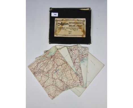
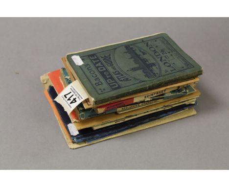
19TH CENTURY ORDINANCE SURVEY MAP OF KINROSS AND FIFEengraved at the Ordnance Survey Office - Southampton - under the direction of Lt. Col. Cameron, the outline by W. Newman, the writing by C. Smith, the hills by G. de Garlieb, published by Col. Sir Henry James, &c., March, 1861, approximately 53.5cm x 68.5cm; along with another reproduction 19th century Ordnance Survey map of Scotland and another (3)

Lot 128

COXE, WILLIAM, 'AN HISTORICAL TOUR IN MONMOUTHSHIRE' ILLUS. WITH VIEWS BY SIR R.C.HOARE, BART, 1ST ED. 2 VOLS. IN ONE, FLDG. MAP, PLANS AND VIEWS, PRINTED FOR T.CADELL AND W.DAVIES IN THE STRAND

Lot 36

A Robert Morden outline coloured map of Buckinghamshire, 17" x 14"

Lot 38

A Robert Morden outline coloured map of Bedfordshire

Lot 256

An early map of Westminster and The Thames, marked Norden 1593, 7" x 10"

Lot 40

A Ogilby coloured road map, Huntingdon to Ipswich, c1690, 13" x 18"

Lot 174

A 1948 folding map of South African Railways, bordered by various shipping line advertisements, 136cm x 102cm together with three poster prints of Cunard Line (2) and French Line vessels (4)

Lot 226

Five charts of the River Humber, 1878(1) and 1958(4), five charts of the East Coast 1915-1944, an early 20th century Rand McNally and Co America map of Steamship Routes of the World, working plans of the armed trawler HMS Grenadier 1971 and a 1947 Chart Signs and Abbreviations poster (12)

Lot 45

A First Gulf War operation map, entitled "OP Granby/Desert Sabre 1(BR) Armd Div (Oct 90-Mar 91) Campaign Map", scale : 1/1,000,000. 60cm x 73cm, mahogany frame

Lot 604

"Famous Fishing Flies of Lough Corrib", mounted fishing flies with central map of the loch

Lot 457

An ostrich egg with transfer decoration of a map of Africa and various African animals on a hardwood stand

Lot 308

A silver cigarette case with engine turn decoration, engraved with a map of the continent of Africa, Birmingham 1938, 102g, in a presentation box

Lot 133

A folding map of the County of Stafford by Phillips (J. & Hutchings W.F.), published by Henry Teesdale, 1832, with contemporary hand colouring, laid on linen, contained in mottled calf book box, 137cm x 99cm

Lot 193

John Speed a map of Breknoke, hand colour engraving, 39cm x 52cm, together with two landscape etchings by Patricia Regnart and a unsigned watercolour (4)

Lot 196

An antique hand-coloured map, of Westmorland by Christopher Saxton, titled in Latin "Westmorlandiae comitatus quo olim" and printed by William Kip

Lot 181

John Speede, coloured map of Worcestershire, 16ins x 20.5ins

Lot 156

Jan Jansson - Antique hand coloured engraved map - Episcopatus Dunelmensis Vulgo The Bishoprike Of Durham, 40.25cm x 50.75cm Condition: Although impossible to tell 100% the map does appear to be laid down, there is a certain amount of foxing/staining and a very slight split to the centre join - **General condition consistent with age

Loading...Loading...
  • 109182 item(s)
    /page

Recently Viewed Lots