We found 109182 price guide item(s) matching your search
There are 109182 lots that match your search criteria. Subscribe now to get instant access to the full price guide service.
Click here to subscribe- List
- Grid
-
109182 item(s)/page


Lot 799
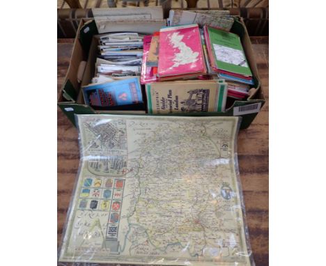
A mid-century coloured school map of Great Britain, map dated 1948, measurements: 105cm x 160cmMap in general is in good condition, the map however has come away from the wooden support at the top of the map, and there is some loose lining on either side, there are also some repairs to the top of the map not visible from the front of the map however just to the reverse of the map itself, there are also 2 tears, 1 in the centre at the top of the map, both along the top, in the middle and slightly down the middle area as the top of Scotland begins, and also another minor tear to the right at the top

Lot 165
SOUTH KOREA. Gold medal, 2018. Korea Minting and Security Printing Corporation. Proof. Korean map made from letters of the Korean alphabet, national emblem at left and latent security feature right. Legend top and purity on bottom. "REPUBLIC OF KOREA, FINE GOLD 999.9" / Korean tiger to the right of bamboo bushes. "1/4oz 2018 KOREAN TIGER"In secure plastic holder, graded NGC PF 70 ULTRA CAMEO, certification number 4866198-009. NGC Census in this grade: 6, equal-finest graded.Total NGC Census: 8Diameter: 22 mm.Weight: 7.78 g. (AGW=1/4 oz)Composition: 999.9/1000 Gold.PLEASE NOTE: 6% Buyer Premium + VAT on this lot. No other fees, including live bidding. Delivery cost will be added to your order.
Lot 59
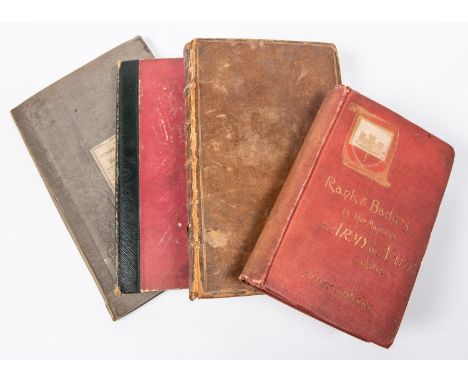
"The Army List of the Roundheads and Cavaliers" by Peacock 1863, spine leather bound; "The General History of the Late War: Containing its Rise, Progress and Event in Europe, Asia, Africa and America"….Volume 1, by the Rev John Entick, 3rd edition, 1766; "The Numismatic Atlas of the Roman Empire" by Peter Whelan (this is a chart of Roman Emperors and Empresses with line drawings of their coin portraits in order of reign and not a map); "Rank and Badges in Her Majesty's Army and Navy" by Perry 1887. £40-60

Lot 158
A MAP OF AFRICABY JOHN SPEED, C.1676'Africae described the manner sof their Habits and buildings newly done into English by J.S. Are to, to be sold by Thomas Bassett in Fleet Street and Ric. Chiswell in St. Pauls Church Yard', a hand-coloured engraved 'carte a figure' map, with ten costumed figures and eight oval topographical vignettes, unframed39.5 x 51.5cm

Lot 162
A MAP OF SURREY BY JOHN SPEED AND JOHN NORDEN'Surrey Described and Divided into Hundreds', Thomas Bassett & Richard Chiswell, 1676, a hand-coloured engraved map, inset with views of Richmond and Nonsuch Palaces, double-glazed with English text verso38 x 51cmBought from Goodall & Co. Ltd, High Road, Chiswick in 1985. A copy of the receipt is available.


Lot 112
ANTIQUE FRAMED PRINTS OF CONWAY (9), antique colour tinted map of North Wales, A NETHERWOOD RCA limited edition print (136/200) - Conway Castle, 17.5 x 28cms, Victorian blue gilt wall plate depicting Conway Castle and Bridge, 24.5cms diameter, ETC, 16 items total, the map published by Alexander Hogg at the Kings Arms, 16 Paternoster Row, 22 x 33cms

Lot 1178
FRANCE, Expéditions Polaires, 1953, a bronze medal by F. Brigaud, polar bear standing right, rev. map of Greenland, whales in sea and names of expeditions indicated, 72mm (CGMP p.316; cf. Baldwin 41, 1973). Extremely fine £70-£90 --- Provenance: Stack’s Auction (New York), 10 January 2011, lot 1066 (part)


Lot 445
JOHN SPEED 'NORTHAMTONSHIRE' - NORTHAMPTONSHIRE, a hand tinted map of the county, sold by Thomas Bassett in Fleet Street and Richard Chiswell in St Pauls Churchyard, the map is incorrectly titled to the cartouche as the letter P is missing, it is correctly titled verso, approximate visible size 39cm x 52cm, mounted, framed and glazed front and back (1)

Lot 467
THREE BOXES OF CERAMICS AND GLASSWARES, to include a vintage West German floor vase impressed marks to base 239-41 Scheurich Keramik, a framed map of old Staffordshire, an Empire Ware green and blue bowl decorated with birds and flowers, a bed throw, a Carnival Ware dish impressed Peacock to the centre, silverplate pill box, teapot and tea spoon, two Wade tortoises, Midwinter Stylecraft 'Oranges And Lemons' pattern dinner wares, Wedgwood 'Ice Rose' pattern tea wares, drinking glasses, etc. (3 boxes + loose)


Lot 24
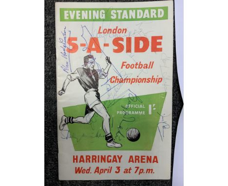
1957 Signed England Football Team: The team that played Scotland on 6 April attended the London 5-A-Side 3 days earlier at Harringay. The front of the Evening Standard competition programme is signed by Duncan Edwards, Stanley Matthews, Alan Hodgkinson, Billy Wright, Derek Kevan, Tom Finney, Roger Byrne, Colin Grainger, David Coleman and a few others. C/W programme + ticket for England v Scotland match and separate signature map.


Lot 795
1960 Real Madrid Signed Football Menu: Nice menu from the Midland Hotel, Manchester around the time of the match at Man Utd in October 1960. Signed clearly in biro by 16 players to include Puscas, Gento and Di Stefano. A separate signature map is included and 14 are identified. C/W other memorabilia relating to this great team including book and programme for aforementioned match.


Lot 419
Lake District. Antiquarian guides/histories. Robinson, J. - 1831, with folding map frontispiece and plates; West, T. - 1821, 11th edition. Colour frontispiece, no map; Nicholson, C. - Annals of Kendal, 1832, folding plan damaged. (3) Robinson guide with additional images uploaded, slight damage to binding/spine at front board, some yellowing/foxing edge bending etc/
Lot 753
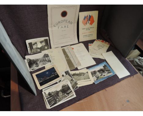
A collection of Military Ephemera including Real Photographs of 1936 Berlin Olympics, Russian Soldiers, Victory Parade of American, Russian and English Soldiers, Brandenburger Gate Damage, also includes Petrol Tokens, Release and Resettlement Pamphlet, Brussels Map, For Leaving the Army Pamphlet, British Troops in Berlin End of War Service Sheet, 1946 Menu's for Allied Forces, Inter Allied 1945 Programme, many more interesting pieces


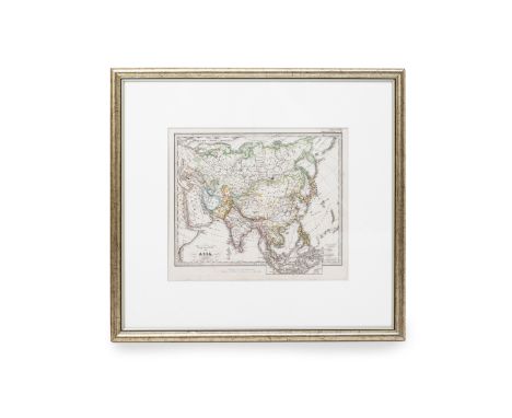
Lot 167
A MAP OF ASIA (1781) Carte Generale de l'Asie par M.Bonne, Ing. Hydrographe de la Marine, avec privilege de Roi, published in Paris Rigobert Bonne (1727-1795) was a French cartographer widely considered to be one of the most important cartographers of the late 18th Century 52.5cm x 42cm framed Condition: Good condition considerate age and use, old colours, restored


Lot 170
AN ITALIAN MAP OF ASIA (1740) Publisher: Arbrizzi, Venice From Thomas Salmon's "Lo stato presente di tutti i popoli del mondo naturale .." prepared by Isaac Tirion (1705-1769) 28cm x 35cm Condition: Restored in the right side, colours enhanced in restoration, folds as it should Additional Information: Isaac Tirion (1705-1769) was a prolific Dutch cartographer and publisher based in Amsterdam. His output includes a number of atlases with maps usually based on the work of the French cartographer Delisle.
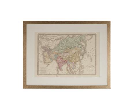
Lot 171
A FRENCH MAP OF ASIA (1860) Year: 1860 Publisher: Charles Delagrave, Paris Description: a map from Atlas Universel originally drawn by Brue in 1831 and updated by Levasseur , both very well known French cartographers. See the foothold of Saigon in Vietnam obtained by France in 1859. Singapore is clearly marked . Framing: in a champagne-colour wooden frame 40cm x 57cm Condition: Map restored, central fold as issued

Lot 172
A BRITISH MAP OF EAST INDIAN ISLANDS (1860) A map of East Indian Islands. James S. Virtue ( 1829-1892) was born in a publisher's family in London. From 1848 he successfully developed the firm's NY Branch, returning to the UK in 1850 to expand the publications with the help of his brothers. Presented in a gold colour wooden frame. 32cm x 25cm Condition: Good, old colours, fold as issued. Paper pleasantly age-toned.


Lot 36
JOHN OGILBY - THE ROAD FROM OXFORD TO CAMBRIDGE Engraving with hand colouring strip road map, circa 1675, the figural cartouche with central Royal armorial Image 33.5 x 41cm Condition: Condition Report Central vertical fold as issued, some light wrinkling at title cartouche, general signs of age and some light wear to frame This is an auction of preowned and antique items. Many items are of an age or nature which precludes their being in perfect condition and you should expect general wear and tear commensurate with age and use. We strongly advise you to examine items before you bid. Condition reports are provided as a goodwill gesture and are our general assessment of damage and restoration. Whilst care is taken in their drafting, they are for guidance only. We will not be held responsible for oversights concerning damage or restoration.


Lot 66
JOHN SPEED hand coloured engraved map of Wales - John Sudbury and George Humble (1611 or later) with twelve oval vingettes of principal cities of Wales to the vertical margins, inset views of Bangor, St Davids, Llandaff and St Asaph, with English text versoDimensions: 41 x 51cmsProvenance:private collection LondonCondition Report:framed and glazed

-
109182 item(s)/page