We found 109198 price guide item(s) matching your search
There are 109198 lots that match your search criteria. Subscribe now to get instant access to the full price guide service.
Click here to subscribe- List
- Grid
-
109198 item(s)/page


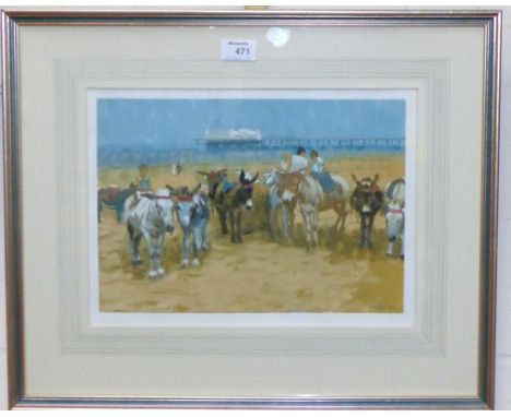


Lot 362
TRUDA ELOISE LANE (20TH CENTURY SCHOOL) Three costume designs for 'The Fatal Rubber'; Charles VI of Valois, Isabella of Bavacia and Princess Catherine of Valois, ink, watercolour, body colour and gilt on vellum, each 53.5 x 14cm; and a similar map for 'The Travels of Marco Polo' by the same hand (4)


Lot 377
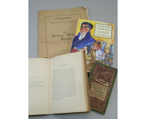
Various books, to include an auction catalogue for the sale of the Norton Disney estate, a copy of Nouveau Riches to Nouveau Pauvers, written by Ian Macalpine-Leny, signed by the author, ordnance survey map of the road between Lincoln and Grimsby and a book on the parish memorials relating to Norton Disney, published 1893


Lot 443
WIRE - Excellent bundle of 4 x LPs, 3 x 12" and 5 x 7" releases. Titles include Our Swimmer (original 'Bahnoff' title on cover, RTO-79), Map Ref. 41ºN 93ºW (HAR 5192), Dot Dash (HAR 5161), A Bell Is A Cup (STUMM 54 with press release and inserts), IBTABA (STUMM 66 with promo insert), Play Pop (test pressing PINKY 7 with proof sleeve), And Here It Is... Again...and In Vivo. Condition is Ex to Ex+.

Lot 166
UK PUNK RARITIES - A superb pack of 10 x collectible 7" releases. Artists/titles are Nuclear Socketts - Play Loud! / Shadow On THe Map (SUB 003), Amebix - Who's The Enemy, The Slits - Typical Girls ('pushout centre' issue WIP 6505), Gothic Girls - Outrage (NCH 007), Liliput - Split/Die Matrosen (RT 047), The Kamikaze Sex Pilots, Discharge - Realities Of War (clay 1), Special Duties - Police State, The System and Fatal Microbe - Violence Grows. Condition is generally VG to Ex.

Lot 81
US (EASTERN SEA BOARD) PUNK/INDIE - An outstanding collection of 32 x 7" releases taking us up the East coast. From North Carolina there's 6 releases from Superchunk including their rare 1st release What Do I on Gold vinyl (MRG-003), "Tower" and Home At Dawn. Up to MA we have 5 sides from Sebadoh including a super hand coloured sleeve of 'Asshole' (original blue labels/black text). From Washington DC we have a great pack of 8 offerings from Royal Trux including Steal Yr Face (purple vinyl and extremely hard to get test pressing, Sunshine And Grease and Map Of The City. From NYC there's 3 x sides featuring Sonic Youth inc. Personality Crisis. To top all this off there's a cracking bundle of 9 releases from The Insomniacs including Guilt Free!, Time Ticks By (green), My Favorite Story and Already Down. Condition is Ex+ across the board.

Lot 754
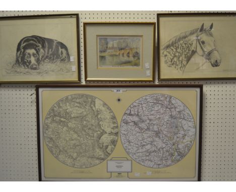
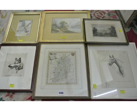
A collection of 19th century and later maps, engravings, etc, comprising: an early 19th century map of eastern Europe including Cyprus, Syria, Crete, etc, 30 x 46 cm approx, a map of Rutlandshire by J Cary, two plans of building land at Skelmersdale, one dated 1836, a plan of an estate in the Parish of Keynsham, etc together with two early 20th century coloured lithographs after William Nicholson, both of architectural subjects and both with blind embossed stamps, published November 1905 at the Stafford Gallery, 35 x 28 cm approx, further topographical prints and engravings, etc, various sizes, mostly framed


Lot 895
The Bible, imprinted in London by the Deputies of Christopher Barker, Printer to the Queen, the Queens Most Excellent Majesty 1599, Commencing with the Christian reader, The Old Testament, Psalms, Apochrypha. The New Testament commencing with the Ode to the Diligent Reader, followed by a map of the Holy land, a brief table of the interpretation of the proper names which chiefly found in The Old Testament, The Genealogies Recorded in the Sacred Scriptures. With illustrations. 19th century binding

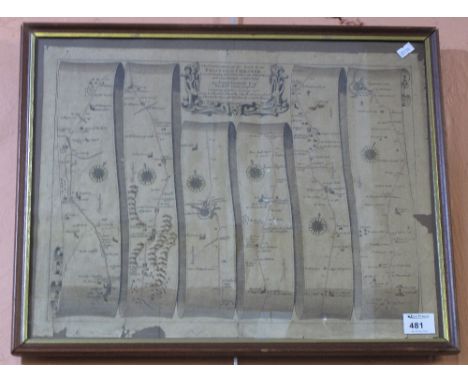
Lot 739
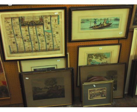
An 18th century coloured engraved road map showing the roads from London to Wells in Norfolk and St Edmons Bury in Suffolk by John Ogilby, 39 x 48 cm approx together with a collection of late 18th and 19th century engravings, caricature subjects, etc including a scene with elegant ladies and gentlemen in a fishing punt, a further pair of fishing engravings after J Pollard - Live-Bait Fishing for Jack and Fly Fishing for Trout, 37 x 44 cm approx, a caricature showing Light Infantry Volunteers on a march, etc together with a late 19th century monochrome study of fruit with blind embossed stamp ESK, various sizes, all framed


-
109198 item(s)/page