We found 109198 price guide item(s) matching your search
There are 109198 lots that match your search criteria. Subscribe now to get instant access to the full price guide service.
Click here to subscribe- List
- Grid
-
109198 item(s)/page


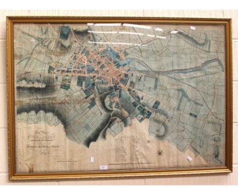
Lot 292
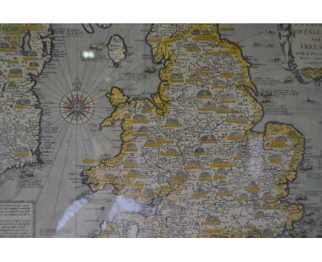
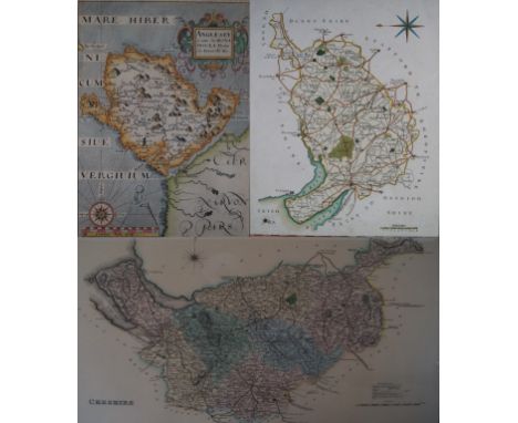
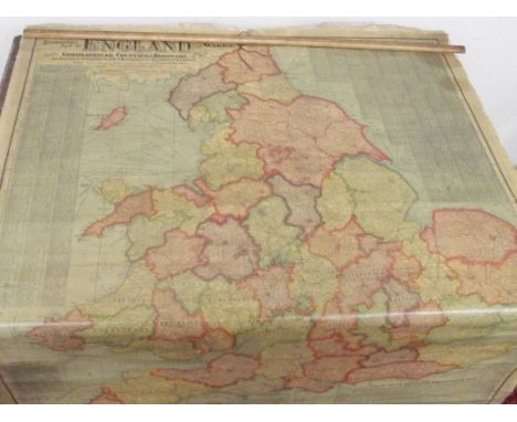
Dorset. Speed (John), Dorsetshyre with the Shyre-towne Dorchester described as also the Armes of such Noble Families as have bene honored with the Titles thereof since the Normans Conquest to this present, hand coloured engraved map, inset town plan of Dorchester, English text on verso, framed, 50 x 40cm


Lot 209
A & C BLACK COLOUR PLATE BOOKS : Southern Spain, Painted by Trevor Haddon, Described by A. F. Calvert, map, 75 colour plates, org. decorative cloth, 4to, 1908. With - Northern Spain, Painted and Described by Edgar T.A. Wigram (1906). Venice, Menpes (1912). Brittany, Menpes (1905). Basque Country, Painted by Romilly Fedden, Described by Katharine Fedden (1921) The Italian Lakes, Du Cane (1925) (6)

Lot 1883
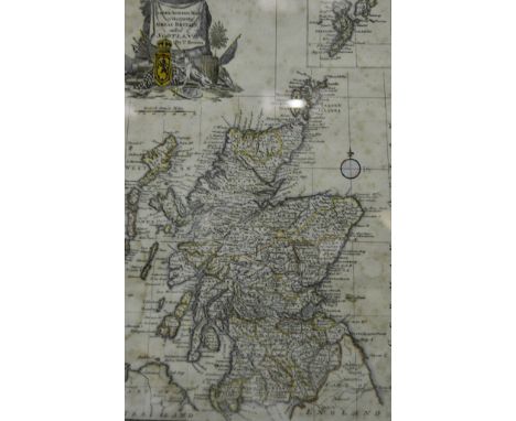
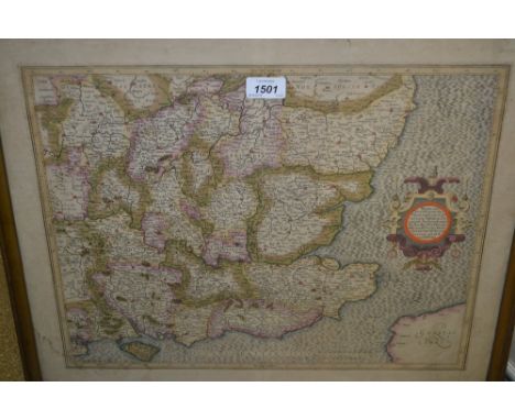
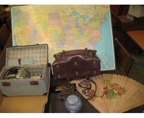
A map of Scotland titled Mappa Britanniae Septentrionalis 1774 Engraved map published by GM Roy, London 1774, loose leafed book on the Building of the Britannia Tubular Bridge crossing the Menai Straits in North Wales, to include four coloured lithographic loose leafed prints, verse black and white prints of the bridge construction, a loose leafed book on the Roman occupation of Scotland etc.


Lot 523
Isaac Johnson, a rare and unusual study of Wickham Market Church, Suffolk, mounted as an oval, 19cm x 15.5cm dia.; together with a double sided 18th Century map depicting the road from Ipswich to Yoxford via Wickham Market; and sections of the road from London to Bury St Edmunds; and London to Ipswich, from Pattersons itinerary (2) N.B. Isaac Johnson was born at Pettistree Lodge, in 1754. He surveyed and drew maps of most of the estates in East Suffolk, and made drawings of at least 514 Suffolk churches, and drew and painted many antiquities and historic buildings. He died in Aldeburgh, 1835. See information verso on the painting.

Lot 1463
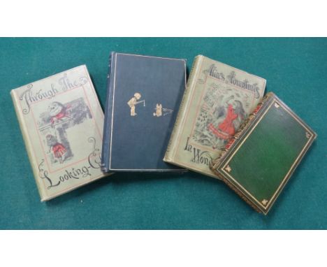
MILNE (A.A.) Winnie -The-Pooh. With decorations by Ernest H. Shepard. First Edition. gilt-pictorial cloth, map on e/ps. 1926; GRAHAME (K.) The Wind in the Willows. 75th edition. contemp. green levant morocco, gilt-tooled covers & gilt-panelled spine with red labels, g.e. & patterned e/ps. (by Sangorski & Sutcliffe), sm. 8vo. 1944. sold with 'Alice's Adventures' & 'Through the Looking Glass' (People's Edition, 1901) (4)
![[ALBIN, J.] A New, Correct, and Much-Improved History of the Isle of Wight . . . 4pp. subscribers list; contemp. calf. N](https://cdn.globalauctionplatform.com/cb3fcf89-3a62-4267-af31-a5bb00e7ae01/03e45816-5e0f-425b-e3b3-22df5f9ad738/468x382.jpg)
Lot 1436
[ALBIN, J.] A New, Correct, and Much-Improved History of the Isle of Wight . . . 4pp. subscribers list; contemp. calf. Newport: printed by and for J. Albin . . . 1795; BARBER (T.) Picturesque Illustrations of the Isle of Wight . . . pictorial engraved title, 39 plates & folded map; contemp. half calf & patterned cloth. (1835); sold with vol. 2 of Hassell's Tour of the Isle of Wight (1790).


Lot 98
WIRE - Ace selection of 4 x LPs and 8 7" releases, many now sought after. Titles include Mannequin (HAR 5144), I Am The Fly (HAR 5151), Dot Dash (HAR 5161), Map Ref (HAR 5192), Chairs Missing (original UK pressing , 2 Ex to Ex+ copies!), 154 (SHSP 4105 1st pressing). Condition is generally Ex to Ex+.

Lot 386
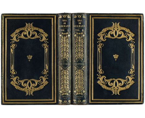
TWO BOOKS FROM THE LIBRARY OF WINDSOR PALACE FEATURING DESCRIPTIONS OF THE SPAS OF GERMANY, 1837GRANVILLE, Augustus Bozzi (Italian 1783-1872), THE SPAS OF GERMANY London: Henry Colburn, 1837. 8vo (220 x 145 mm) both volumes. Volume I: 408 pages, including a foldout map of German mineral springs (420 x 420 mm); Volume II: 538 pages, including a foldout table of listing of the chemical composition of the waters of German mineral springs (390 x 390 mm). Both volumes contain a woodcut illustrations on a title page, as well as number of etchings illustrating the views of the spas and duo chrome maps of the areas. Gilded and embossed full Morocco bindings decorated with double frame, scrolling vines and a crowned V on each side. Intricate embossed gilt titles and decorations on spines. All edges gilt. Moire endpapers.PROVENANCEFrom the library of Windsor Palace. Both volumes bear the bookplates on endpapers with the letters V R [Victoria Regina]
-
109198 item(s)/page