Forum Auctions
Lot 158
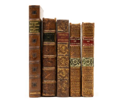
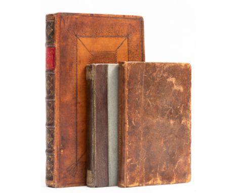
Peerage of England (The): or, an Historical and Genealogical Account of the Present Nobility, second edition, engraved frontispiece, woodcut illustrations, 2pp. advertisements at end, bookplate of George Lockhart to title verso, E4 with small loss to corner and short tear touching odd letter, spotting and staining, cracked hinges, contemporary calf, a little rubbed, bumping to corners and extremities, by G. J. for Abel Roper and Arthur Collins, 1710 § Kennett (Basil) Romæ Antiqiæ Notitia: or, the Antiquities of Rome, engraved title vignette, 12 engraved plates (6 folding), engraved folding map, lacking portrait frontispiece and final free endpaper, occasional marginal water-staining, scattered spotting, later half-calf, rebacked retaining original backstrip, a little rubbed, for T. Child ..., and R. Knaplock, 1713 § [Defoe (Daniel)] The History of the Civil Wars in Germany ... also, Genuine Memoirs of the Wars of England ..., half-title, 2R2 with short tear into text with no loss, scattered faint staining, new endpapers, modern antique style calf, fractional rubbing to spine extremities, Newark, by James Tomlinson, 1782; and another similar, 8vo (5).


![Greece.- Fries (Lorenz) Tabu. Nova Candie [Crete], map of Crete after Waldseemüller, title banderole above, probably fro](https://cdn.globalauctionplatform.com/da73235b-e219-492c-af3b-b14900ae5ca7/04546cb5-fe26-4ce1-856d-b14900b4aa80/468x382.jpg)


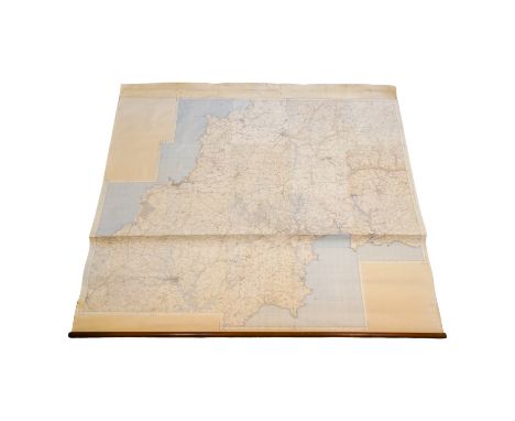
![Geology of the British Isles.- Geikie (Sir Archibald) Geological Map of England & Wales [together with] Geological Map of](https://cdn.globalauctionplatform.com/da73235b-e219-492c-af3b-b14900ae5ca7/98c6fc19-9fca-447e-ad6e-b14900b3cf4f/468x382.jpg)