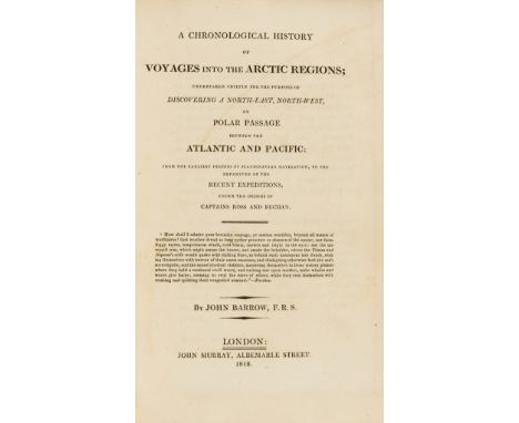
Forum Auctions
Lot 45
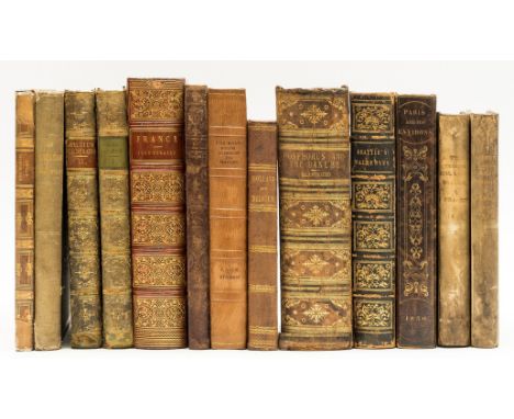
Europe.- Ireland (Samuel) A Picturesque Tour through Holland, Brabant, and part of France, 2 vol., second edition, aquatint vignette titles, 46 aquatint plates and 2 engraved plates, illustrations, short marginal tear repaired, occasional marginal damp-staining, strengthened hinges, contemporary half-vellum rubbed, soiled, 1796 § Gorse (Pierre) Les Pyrénées Monumentales et Pittoresques, tinted lithograph title, folding map, 45 hand-coloured lithograph plates, 7 double-page or folding, occasional marginal damp-staining, scattered spotting, original cloth, gilt, slight bumping to corners and extremities, chez Lafon, [c.1850] § Beattie (William) The Waldenses, or, Protestant Valleys of Piedmont and Dauphiny, engraved portrait frontispiece, additional engraved title, 70 engraved plates, 1 folding map, occasional spotting, previous owner's ink signature, contemporary morocco, a little rubbed, 1838; and others similar, v.s. (13)
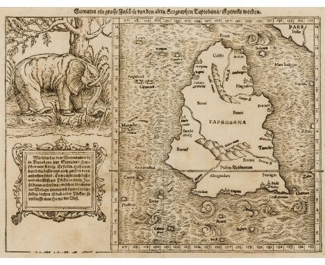


![Europe upside down.- Münster (Sebastian) [Europa das ein Drittheil der Erden/nach Gelegenheit Unsern Zeiten], map of Europe,](https://cdn.globalauctionplatform.com/74b1a22d-02e5-47b6-ac28-adb700c4c182/46a1cb18-edba-4ef2-9b20-adb700c757ca/468x382.jpg)


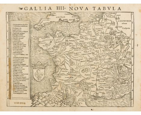
![London.- [Rocque (John) and Richard Parr] Central section and parts of Rocque's 'An Exact Survey of the City's of London, Wes](https://cdn.globalauctionplatform.com/74b1a22d-02e5-47b6-ac28-adb700c4c182/557693a0-be4a-4b87-978b-adb700c7e334/468x382.jpg)


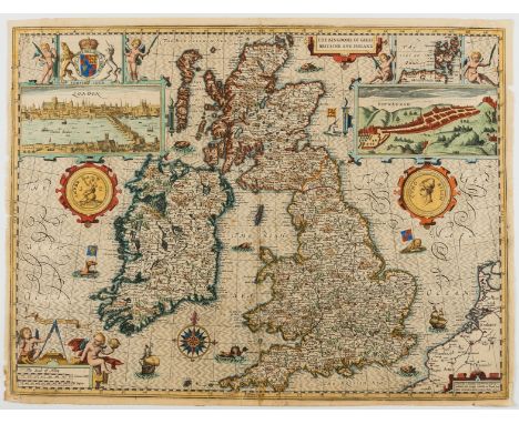
![India.- Allen & Co. (William H.) Map of India, from the most recent Authorities, engraved map, by [?]J. Walker, with earl](https://cdn.globalauctionplatform.com/74b1a22d-02e5-47b6-ac28-adb700c4c182/e337cbe7-18d9-4fca-adaa-adb700c7e1af/468x382.jpg)


![Atlases.- World.- Sharman (John, Dublin-based publisher) [Sharman's Geography], without title [? as published], 31 engraved m](https://cdn.globalauctionplatform.com/74b1a22d-02e5-47b6-ac28-adb700c4c182/caed07ff-0216-4f4b-86d7-adb700c71f65/468x382.jpg)