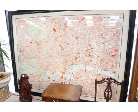
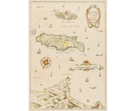
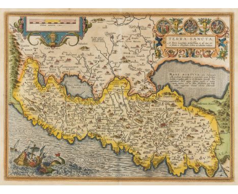
Lot 152
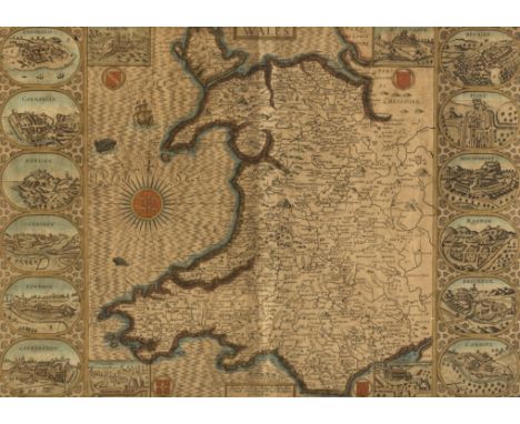
NO RESERVE Wales.- Speed (John) Montgomery Shire, county map of Montgomery, engraving on laid paper with armorial watermark, with hand-colouring, sheet 387 x 510 mm. (15 1/4 x 20 1/8 in), English text verso, central vertical fold, trimmed to borderline, some nicks and scuffs to extremities, inset plan of the town supplied in facsimile, unframed, 1610-11 and later.


![Japan.- [Map of Japan], folding map showing from Kagoshima to Aomori, with title and text in Japanese, woodblock on thin japa](https://cdn.globalauctionplatform.com/9354bd56-d7cb-4d5b-9f5d-a8f000e9b3ff/ef731209-5823-408e-e592-f07f799062ec/468x382.jpg)


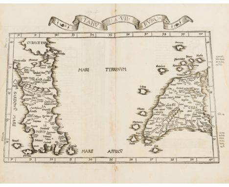

![Sri Lanka.- Fries (Lorenz) [Tabula XII Asiae], Ptolemaic map of Sri Lanka with part of the Indian coast, woodcut on laid pape](https://cdn.globalauctionplatform.com/9354bd56-d7cb-4d5b-9f5d-a8f000e9b3ff/3a5c3f14-03b8-4a37-c546-d52445b3e282/468x382.jpg)
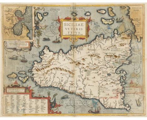
![Switzerland.- Fries (Lorenz) [Tabu. Nova Helvetiae], Ptolemaic map of Switzerland oriented with north at the bottom of the sh](https://cdn.globalauctionplatform.com/9354bd56-d7cb-4d5b-9f5d-a8f000e9b3ff/f85b6fc0-40c8-478c-9bb4-6605540526da/468x382.jpg)

![Voyages.- London to Tianjin.- Anonymous [Map detailing a voyage from London to Tianjin, China], Italian map showing from the](https://cdn.globalauctionplatform.com/9354bd56-d7cb-4d5b-9f5d-a8f000e9b3ff/58e78141-19f6-4ad1-aab9-ba0ac8978beb/468x382.jpg)
![World.- Bowen (Emanuel) Nuova Ed Esatta Carta del Mondo [New and Accurate Map of the World], Italian edition of Bowen's map f](https://cdn.globalauctionplatform.com/9354bd56-d7cb-4d5b-9f5d-a8f000e9b3ff/e5672dd5-5925-4ec3-ad0b-9f52229c2faf/468x382.jpg)
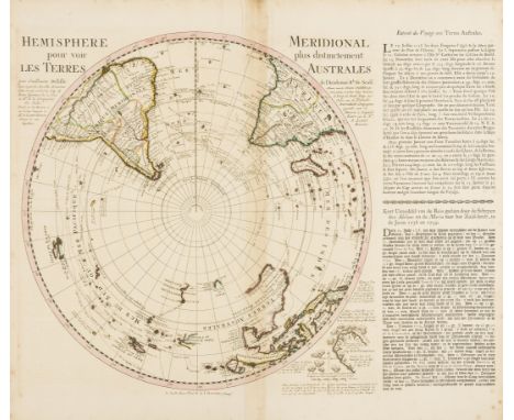
![World.- Anonymous (early 20th century) [Double-hemisphere World map], text in Cyrillic, each hemisphere set within decorative](https://cdn.globalauctionplatform.com/9354bd56-d7cb-4d5b-9f5d-a8f000e9b3ff/20e14eff-e35d-495f-d62a-3e54e92196c2/468x382.jpg)