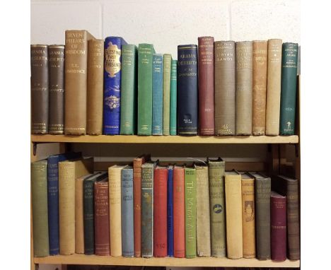
Stark (Freya). The Southern Gates of Arabia. A Journey in the Hadhramaut, 1st edition, London: John Murray, 1936, all halftone photographic plates as called for, folding map, inscribed by the author 'To Dr Howell Evans, with thanks & friendly greetings from Freya Stark, 7th June 1936' on the front free endpaper, original cloth, dust jacket (staining, some fraying and loss, repairs verso), 8vo, together with: Lawrence (T. E.), Oriental Assembly, 1st edition, London: Williams and Norgate Ltd., 1939, all halftone photographic plates as called for, original cloth, dust jacket, 8vo, Hart (B. H. Liddell), 'T. E. Lawrence' in Arabia and After, 1st edition, London: Jonathan Cape, 1936, 12 plates, 9 maps (most folding), original cloth, dust jacket (spine toned, frayed at head), 8vo, Dickson (H. R. P.), Kuwait and her Neighbours, 1st edition, 2nd impression, London: George Allen & Unwin Ltd, 1969, colour frontispiece, halftone plates, 3 folding genealogies (2 in end-pocket), 3 folding maps in end-pocket (of 4: without 'Road map of Hasa province', but retaining the large colour map 'Basra-Kuwait', small staple through front free endpaper, original cloth, dust jacket (spine nicked at head), 8vo, and 18 others, mainly Middle Eastern travel, mid-20th century, including others by Freya Stark, original cloth, dust jackets (Qty: 23)
![Second Sino-Japanese War. A 'souvenir' album, [Tokyo, 1938], folding colour map, numerous photographic illustrations, some co](https://cdn.globalauctionplatform.com/cfecfaca-a1f0-4f8a-84de-ab66012f1173/c2690c1b-ad5c-4f49-9e09-ab68011891d8/468x382.jpg)


![William Pollard & Co. [publisher] . A Book of The South West, printed for the seventy-fifth annual meeting of the British](https://cdn.globalauctionplatform.com/cfecfaca-a1f0-4f8a-84de-ab66012f1173/feb83ea5-5a9b-427b-91ae-ab6801196c03/468x382.jpg)


![[Eden, William]. The History of New Holland, from its First Discovery in 1616, to the Present Time. With a particular account](https://cdn.globalauctionplatform.com/cfecfaca-a1f0-4f8a-84de-ab66012f1173/e5a11daa-c371-4c25-8b90-ab6801187d57/468x382.jpg)


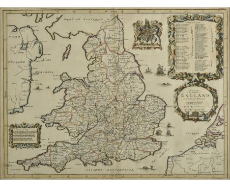
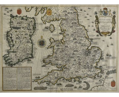
![* England & Wales. Mercator (Gerard), Anglia Regnum, [1633 or later], engraved map with bright contemporary hand colourin](https://cdn.globalauctionplatform.com/cfecfaca-a1f0-4f8a-84de-ab66012f1173/0ef5465c-b92b-4e1f-b196-ab6f01130420/468x382.jpg)