We found 109182 price guide item(s) matching your search
There are 109182 lots that match your search criteria. Subscribe now to get instant access to the full price guide service.
Click here to subscribe- List
- Grid
-
109182 item(s)/page


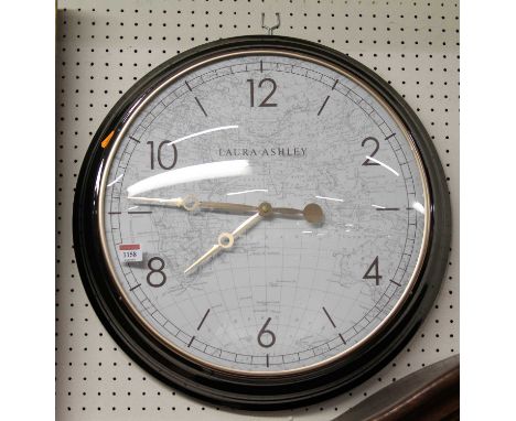


Lot 1105
An original 1832 Boundary Commission Map of Sunderland and Monkwearmouth, framed and mounted but unglazed. Note: In 1831 Parliament ordered a complete re-drawing of Borough boundaries, increasing their size and importance allowing progressive reform of constituencies and an end to 'Rotten Borough'.


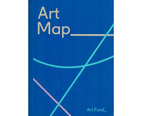
Lot 79
Art Map 2020 (Art Fund) a guide to the UK's National Art Exhibitions published by The Art Fund, Plus Tales of The Unfinishable by F Clarke and H Connors 2012, good condition. We combine shipping on all lots. Single book £5.99 UK, £7.99 Europe, £9.99 ROW. We can ship a parcel up to 20kg which will take approx. 40 books in UK £12, EUROPE £39.99, ROW, £59.99


Lot 397
A Map of the British Isles Laid on Canvas, a further map of Kingston upon Hull, similarly mounted, an Art Nouveau pewter tray cast with fish, a small 20th century Venetian style oil on panel, teo Egyptian brass chargers, a Persian charger depicting figures, zoomorphic decoration and floral borders and a further patinated metal Persian charger (qty)Bacons Excelsior Map of England & Wales and the Southern Part of Scotland. Tired condition, discoloured, with tears and flakes.


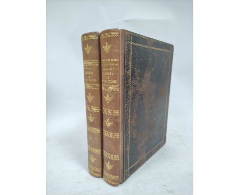
Lot 101
EDWARDS BRYAN. The History, Civil & Commercial, of the British Colonies in the West Indies. 2 vols. Fldg. eng. map in two parts, a part in each vol. 5 fldg. eng. tables in six. Ex Medical Library of Port Pitt with pres. inscription from Sir James McGrigor, Director General. 1st ed., 1793. Edwards was a Jamaican planter & politician who published this excellent history of the West Indies. He tended to be against the abolition of slavery and supported free trade with the newly established United States.


Lot 122
ALEXANDER CAPT. J. E. Transatlantic Sketches Comprising Visits to the Most Interesting Scenes in North & South America & the West Indies. 2 vols. Eng. map & 10 etched plates on stiff paper by Heath (as called for). Half calf, marbled brds., vol. 1 slightly tending to split. 1st ed. 1833. Bears ownership inscription of Joseph W. Wybault, 1867, poss. Deputy Commissary-General (of Kilkenny) & last surviving officer of the Commissariat who served in the Peninsula War.


Lot 134
ROBERTSON J. P. & W. P. Letters on Paraguay Comprising an Account of a Four Years' Residence in that Republic Under the Government of the Dictator Francia. 3 vols. Fldg. col. eng. map & 2 eng. frontis. Purple calf, backs uniformly browned, one lacking title label, very clean internally. 1839; also E. Clarence Shepard, Francia, A Tale of the Revolution of Paraguay, rebacked half calf, 1851. (4).

Lot 139
GREGORY WILLIAM. The Journal of a Captured Missionary Designated to the Southern Pacific Ocean, in the Second Voyage of the Ship Duff ... Captured by Le Grand Buonaparte, off Cape Frio. Fldg. eng. map & eng. plate (tears). Rebound half calf, marbled brds., internal browning, spotting & foxing. 2nd ed., c.1801.

Lot 141
MAW LIEUT. HENRY LISTER. Journal of a Passage from the Pacific to the Atlantic, Crossing the Andes in the Northern Provinces of Peru & Descending the River Maranon or Amazon. Fldg. eng. map. Purple morocco gilt, wear & rubbing to back but contents (apart from offsetting to map) very clean, a.e.g. Bookplates incl. the Earl of Munster & Col. Fitz Clarence. 1st ed., 1829.
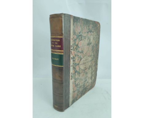
Lot 148
TUCKEY CAPT. J. K. Narrative of an Expedition to Explore the River Zaire, usually called the Congo. Half title. Eng. fldg. frontis map (tears). 13 eng. plates, one hand col., as called for. Quarto. Rebacked half calf, the old marbled brds. with label for Sunderland Subscription Library (their neat manuscript inscription to the reverse of each plate). 1818.


Lot 158
TUCKER MISS. Abbeokuta or Sunrise within the Tropics, an Outline of the Origin & Progress of The Yoruba Mission. Col. frontis, fldg. maps & col. & other plates. Rebacked half calf, marbled edges. 1858; also Isaac Taylor, Scenes in Africa, fldg. eng. map, eng. plates each with three attractive images, purple half gilt, marbled edges, 1821 & Mungo Park, Travels in the Interior Districts of Africa, frontis, 32mo, orig. cloth, T. Allman, n.d. (3).

Lot 160
TOD LT. COL. JAMES. India. Annals & Antiquities of Rajast'han or The Central & Western Rajpoot States of India. Vol. 1. 806pp. Eng. frontis & fldg. & other eng. plates, lacking map & Genealogical Table No. I. Quarto. Worn & rubbed half leather, strengthened internally at hinge. Pres. copy from the author to Miss Munro. 1829.


Lot 248
LEYCESTER SIR PETER. Historical Antiquities in Two Books, the First Treating in General of Great-Brettain & Ireland, the Second Containing Particular Remarks Concerning Cheshire. Rubricated title. Hand col. fldg. eng. map by Robert Morden. Wood eng. decs. & vignettes of arms. Folio. 18th cent. calf, gilt back. Bookplate of Powell Snell. 1673.

Lot 269
BEVERIDGE ERSKINE. North Uist, Its Archaeology & Topography. Ltd. ed. 300/315. Map in pocket. Frontis & many illus. Thick quarto. Green calf backed orig. cloth brds. Edinburgh, 1911; also J. S. Fleming. Ancient Castles & Mansions of Stirling Nobility, plates & illus., quarto, orig. green cloth, 1902. (2).


Lot 316
STREATFEILD THOMAS. Excerpta Cantiana, Being the Prospectus of a History of Kent. Eng. frontis., plates & vignettes (final 3 plates very browned). Folio. Half dark leather. Inscr. to the Earl of Aylesford, n.d.: also Valor Ecclesiasticu Tempore Regis Henrici Octavi, a.f. but with hand col. fldg. eng. map, bookplate of Hugh Percy, folio, n.d. (2)


-
109182 item(s)/page