Lot 242
1840 Bradshaw's RAILWAY COMPANION, the 1st edition so titled and the 2nd "Bradshaw's". Pocket-sized, hard covers with gold-leaf title label. Fold-out map of London at front plus several hand-coloured area maps and a fold-out railway map of England & Wales plus charts, fares, timetables & advertisements. Spine has been restored, one or two small tears inside, other minor wear and a few pencilled annotations but overall a good example of this scarce issue. [1]


![1864 MAP of the [London] Railways proposed by the Bills of [Parliamentary] Session in the Metropolitan Districts. Shows the f](https://cdn.globalauctionplatform.com/45e32101-b06f-4153-a743-a92d0131a550/96dd73c3-192c-4a66-a488-a96c0176cd46/468x382.jpg)


![1907 "District" [Railway] MAP of Greater London & Environs, 2nd edition. Shows the Franco-British Exhibition (held in 1908) a](https://cdn.globalauctionplatform.com/45e32101-b06f-4153-a743-a92d0131a550/fd05c85d-6dbe-4224-a89d-a96c018ac451/468x382.jpg)


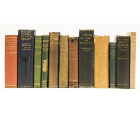

![Africa.- Hinde (Sidney Langford) The Last of the Masai, plates and illustrations, slight bumping to corners, [Czech p.76], 19](https://cdn.globalauctionplatform.com/ca7b9c93-4cd7-4a7a-af9f-a977009b3ff9/83b67496-0f31-4f75-ce00-11f83aae9655/468x382.jpg)