
Lot 72
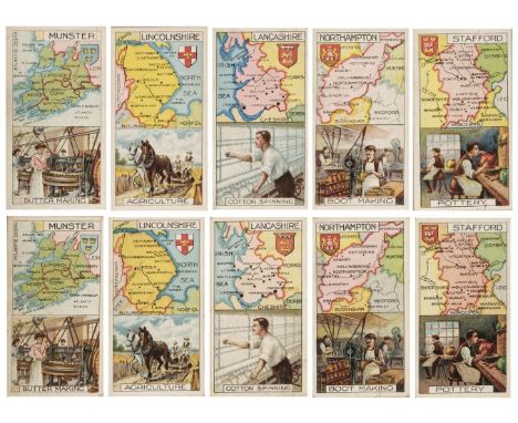
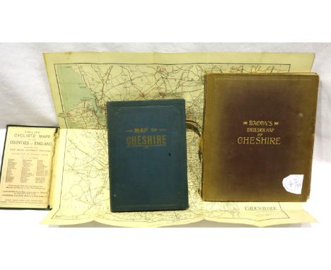
Cigarette Cards. A collection of 459 cards, all depicting maps, early-mid-20th century, an album containing sets of cigarette cards, all with maps, including 'Find your Way', issued by Lambert & Butler, 'Holidays in Britain' issued by Churchman's cigarettes, 'Sectional Cycling Maps' and 'By the Roadside' issued by Odgens, 'Sectionalised Map of London and the Home Counties' issued by J. Millhoff & Co. Ltd, 'The Counties of the British Isles' issued by John Player & Sons and 'A Road Map of Scotland' issued by Imperial Tobacco & Co, all contained in a mid-20th-century cigarette card album, oblong 4toQty: (1)


![Stanford (Edward, publisher). China (from the London Atlas series), London: Edward Stanford, [1901], hand-coloured lithograph](https://cdn.globalauctionplatform.com/665fceac-e154-4412-a5b5-ae3000d23766/c7a39172-2cbb-415f-a69f-ae360102f981/468x382.jpg)

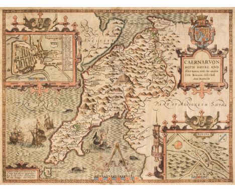
![Wales. Speed (John), Flint-Shire, Thomas Bassett & Richard Chiswell, [1676], hand-coloured engraved map, inset town plans](https://cdn.globalauctionplatform.com/665fceac-e154-4412-a5b5-ae3000d23766/2e0d4b37-bcf5-4867-a304-ae360102fcff/468x382.jpg)


![Andrew Johnston - A New Map of the North [and South] Part of Scotland, two hand tinted engraved maps, 1724, 36 x 44cm](https://cdn.globalauctionplatform.com/d15176eb-52ce-442c-9451-ae1400b6894a/a9ffc40a-6f0b-4c17-a4a9-ae3101147eda/468x382.jpg)