We found 109182 price guide item(s) matching your search
There are 109182 lots that match your search criteria. Subscribe now to get instant access to the full price guide service.
Click here to subscribe- List
- Grid
-
109182 item(s)/page


Lot 214
Antique "Map of the Country Twenty Five Miles Round the City of New-York". Engraved circular map, hand-colored in outline. An unusual format, showing the southern tip of Manhattan at the center, and covering the areas of Kings and Queens County, Westchester County, Manhattan, and Monmouth, Middlesex, Essex, Morris and Bergen Counties in NJ. Toning from age, foxing or in good condition. Measures 12¼" X 11½", frame measures 16-1/4" x 14-3/4". Shipping $65.00 (estimate $200-$300)


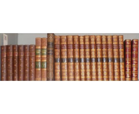
Lot 405
LAWRENCE, T.E. The Seven Pillars of Wisdom, A Triumph. Cape, 1935. 5th imp. 4to. w/o. d/w. tog.with The Mint by 352087 A/C Ross. Cape, 1955. 1st edn. in price clipped d/w and slipcase. Plus Revolt in The Desert,, Doran, NY. 1927, 1st thus, 8vo. illus. folding map. Plus. DOUGHTY,Charles M. Travels in Arabia, Deserta. Intro. T.E. Lawrence. Cape, 1936. 4to. ind/w. folding map at rear. Plus others by or about Lawrence. 12


Lot 436
MAXWELL, LYTE, H.C. A History of The University of Oxford from the Earliest Times to The Year 1530. Macmillan, 1886. 8vo. Frontis. double page map to rear . glt. cl. bumped. Tog,with Royal Commission on Historical Monuments. An Inventory of The Historical Monuments in The City of Oxford. 1939. fo. cl. bd. Plus other Oxford Interest. 15


Lot 505
FLETCHER, Hanslip, Changing London, (Third Series) Reprinted from the Sunday Times. Methuen, 1928. fo. 1/4 cl. tog.with CHANCELLOR, E. BEREFORD, Disappearing London, The Studio, ed. Geoffrey Holme, 1927. fo. Plus The Oasrman's and Angler's Map of The River Thames. New Edition. Folding map of Thames. plus 2 others. 5
Lot 100
Pope (Alexander). The Works Of..., volumes 1-6, printed for C. Bathurst et al, 1770, monochrome engraved frontispiece to volumes 1 & 3, period inscription to volume 1 front endpaper, some light spotting, uniform contemporary gilt decorated full calf, spines slightly rubbed, 8vo, together with Macpherson (James & Campbell, Hugh), The Poems of Ossian, volumes 1 & 2, 1822, monochrome engraved frontispiece, and title pages, folding map and plate of Carrick Ri-Na Aidha to volume 1, some light spotting and offsetting, uniform contemporary gilt decorated half calf, hinges cracked, spines slightly rubbed to head and foot, 8vo, and Marryat (Captain), The Pirate, and the Three Cutters, 1st edition, 1836, 20 monochrome engravings, somem slight spotting, contemporary gilt decorated full calf boards slightly marked, hinges lightly rubbed, 8vo, plus Johnes (Thomas), Sir John Frossart's Chronicles of England, France, Spain, and the Adjoining Countries..., volumes 1-12, 2nd edition, 1806, some minor spotting, uniform later gilt decorated calf spines retaining contemporary tree calf boards, slightly rubbed to head and foot, 8vo, and two other leather bound volumes (23)
Lot 101
Pennant (Thomas). Some Account of London, 2nd edition, 1741, monochrome frontispiece and title, folding map to front plus other monochrome plates, some light toning, contemporary half calf, boards and spine rubbed with some loss, 4to, together with Roscoe (Thomas), Wanderings and Excursions in North Wales, circa 1835, 51 monochrome engravings including frontispiece and half title, some light sptting, bookplate to front pastedown, contemporary gilt decorated full calf, spine and hinges slightly rubbed, 8vo, and Platt (J.W.), The History and Antiquities of Nantwich, in the County of Palestine of Chester, 1818, monochrome frontispiece and crests, some minor spotting, front board and endpapers including title page partially detached, contemporary blue paper boards, rubbed with loss to head of spine, 8vo, plus 10 further volumes of 18th and 19th century UK topographical reference, including The Antient and Modern History of the Loyal Town of Rippon by Thomas Gent, 1733, mostly leather bindings, G/VG (13)
Lot 109
Carl (Katharine A.). With the Empress Dowager of China, 2nd UK impression, 1906, 22 half-tone plates, Working Men's College Library stamps throughout, labels at front, top edge gilt, original red cloth, spine a little darkened, library stamps to covers, 8vo, together with J.O.P. Bland and E. Backhouse's China Under the Empress Dowager, Being the History of the Life and Times of Tzu Hsi, new impression, December 1911, plus Baedeker (Karl), The United States with an Excursion into Mexico, 2nd revised edition, 1899, folding colour maps and plans, browning at front and rear, and to general map with marginal tear, original cloth, spine rubbed, 8vo, plus Tyndall (John), The Glaciers of the Alps. Being a Narrative of Excursions and Ascents..., 1st edition, 1860, plates and illustrations (a few partly coloured), 32 pages publisher's list at rear, some spotting, original cloth, spine faded, rubbed and a little soiled, 8vo, plus other miscellaneous travel (25)
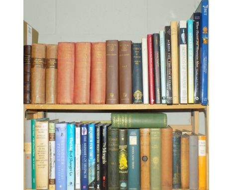
Lot 27
Maurice (Thomas). A Dissertation on the Oriental Trinities: Extracted from the Fourth and Fifth Volumes of Indian Antiquities, printed for the author by H.L. Galabin, 1800, 5 monochrome folding plates, including frontispiece, period inscriptions to the title page, some light marks, contemporary half calf, boards rubbed, 8vo, together with Landor (A. Henry Savage), In the Forbidden Land..., volumes 1 & 2, 1898, 250 black and white illustrations and a map, some light spotting, uniform contemporary plum cloth, boards slightly rubbed, spines faded, 8vo, and Hedin (Sven), Trans-Himalaya, Discoveries and Adventures in Tibet, volumes 1-3, 1910-13, numerous monochrome illustrations, some minor spotting, uniform original gilt decorated red cloth, spines faded and slightly rubbed to head and foot, 8vo, plus other late 19th century and modern Tibet, Central Asia and Far East historical and topographical reference, mostly original cloth, many in dust jackets, some odd volumes, G/VG, 8vo/folio (6 shelves)

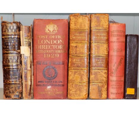
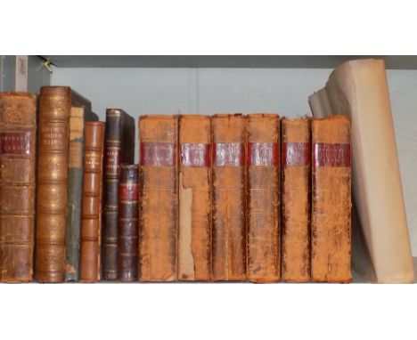
Lot 84
Ward (John). The Borough of Stoke-Upon-Trent, in the commencement of the Reign of Her Most Gracious Majesty Queen Victoria..., 1843, monochrome plates including portrait frontispiece, colour folding map to front, light spotting, all edges gilt, contemporary gilt decorated brown morocco, front board partially detached, boards and spine rubbed with some loss, 8vo, together with Pigot and Co.'s London & Provincial New Commercial Directory, for 1823-4..., monochrome adverts to rear including 3 folding plus a folding map of London, lacks front endpapers, some wear throughout, boards detached and rubbed with loss, loss to spine, 8vo (sold as seen), and Post Office London Director with County Suburbs, 1929, adverts to front and rear, large monochrome folding map to front, some minor marks, original gilt decorated red cloth, slightly rubbed to head and foot, thick 4to, plus other 19th and early 20th century UK topographical reference, some leather bindings Ex libris Geoffrey A. Godden. (7)


Lot 1381
CORBETT (J.S.) & NEWBOLT (H.) History of the Great War: based on official documents . . . Naval Operations. 9 vols., i.e. 5 text vols. & 4 map boxes - additionally present is the revised map box for vol. iii. complete - with some 200 maps, plans & diagrams (many folded & some coloured; gilt-lettered cloth (4 vols with d/wrappers). revised editions vols. i & iii (1938-40); others 1921-31. * the classic account, including the important Jutland revisions in the third volume.


Lot 1470
ROAD BOOKS - a late 18th/early 19th cents. small collection (7 examples), folded maps, various bindings, 1794-1822. * including Paterson's Roads . . . 16th edition (by Edw. Mogg), 9 folded maps, old calf (rebacked), 1822; and CARY'S British Traveller . . . folded map; half calf & marbled boards 1803. * sold not subject to return.

Lot 1492
Thomas JEFFERYS - The German Dominions of the King of Great Britain; comprized under the name of the electorate of Brunswick - Luneburg . . . 58 x 51cms. (within mount), hand-coloured, title within decorative cartouche. Laurie & Whittle, 1794; sold with John CARY - A New Map of Germany . . . with the Kingdom of Bohemia & c. 51 x 56cms. (within mount), hand-coloured. 1799.
Lot 1487
[R.W. SEALE] A Map of France with the Dominions appertaining thereto . . . for Mr. Tindal's Continuation of Mr. Rapin's History. 39 x 47cms. (within mount), title within decorative cartouche, engraved explanation. (1751) * shows also southern coast of England, part of N.E. Spain & continental countries on eastern border.

Lot 1483
John CARY - A New Map of Hampshire . . . 56 x 51cms., hand-coloured, folded on linen within marbled covers, in slipcase. 1811; Thomas Kitchin - A New Improved Map of Oxfordshire . . . 73 x 54cms., hand-coloured, folded on linen within marbled covers. sold by J. Tinney, 1753. * elaborate engraved pictorial title, etc.; together with earlier 19th cent. folded maps for Gloucs. (Smith, 1804), Cambs. (Smith, 1825), Yorkshire (Cary, 1810), & Surrey (Smith, 1829).
Lot 1392
MOORE (J.) A Narrative of the Campaign of the British Army in Spain, commanded by His Excellency Lieut.-General Sir John Moore . . . First Edition. portrait, aquatint view, folded plan & map; contemp. calf, rebacked (preserving original spine), 4to. 1809. * coronetted crest of Stanley, Earls of Derby
Lot 1475
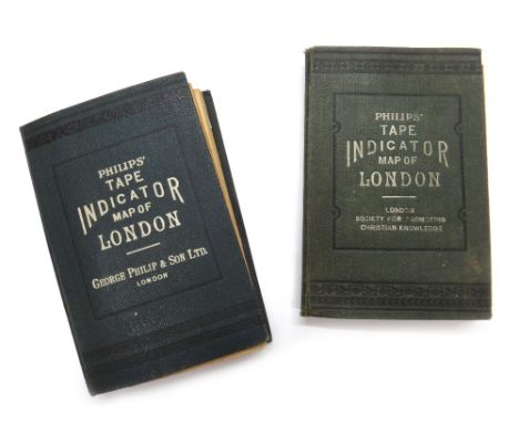
PHILIP'S Tape Indicator Map of London. 62 x 90cms., colour-printed, folded on linen within printed cloth covers; scale - 3 1/2 ins. to mile. * extent - Kentish Town / Clapham Common; Ravenscourt Park / W. India Docks; with the attached & novel 'tape indicator', & integral 72pp. street index. (ca. 1908); sold with another copy - slightly earlier. * earlier copy with White City unnamed; workhouses still named as such, etc.

Lot 1479
Joseph ENOWY. A New Map of Scotland . . . improved edition. 65 x 50cms., hand-coloured, folded on linen within marbled covers & in labelled slipcase. Richard H. Laurie, 1821. * insets of Orkneys & Shetlands; Joseph ENOWY - A New map of Ireland . . . new edition, considerably improved. 66 x 52cms., hand-coloured, folded on linen within marbled covers & in labelled slipcase. Richard H. Laurie, 1822; sold with Oliver & Boyd's Travelling Map of Scotland (hand-coloured, in book form, (1821); and 3 Scottish others.

Lot 1481
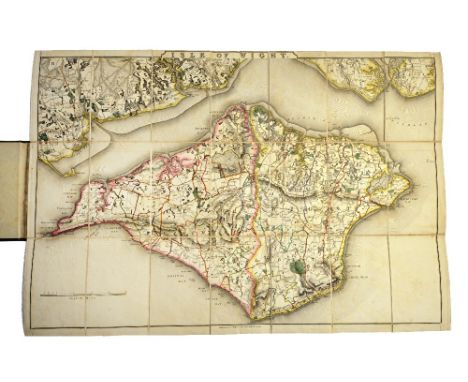
The OARSMAN'S and ANGLERS MAP of the River Thames, from its Source to London Bridge. new edition. 269 x 16cms., coloured, folded on linen & within gilt-lettered cloth covers. Edward Stanford, 1916. * a most attractive item (1 inch to mile, with concertina extension of over 8 feet); includes all locks, other features & adjacent roads etc.; apart from much marginal printed information a 19pp. booklet (of bye-laws, tolls etc.) is integrally provided; sold with J. & C. WALKER - Isle of Wight. 44 x 65cms., hand-coloured, folded on linen within labelled cloth covers. (ca. 1900). * detailed, with many houses & farms named. Illustrated

Lot 1395
EDMONDS (J.E.), editor. History of the Great War: based on official documents . . . 39 vols. (including 11 map boxes). v. many maps (num. coloured & folded), photo. plates & other illus., some addenda/corrigenda slips inserted; gilt cloth. (various dates from 1921). * a substantial part of this important set; a sample collation (of 12 vols. & boxes) found all complete - but sold not subject to return.

Lot 2238
A gold and green gem set five stone brooch, centred by a map of Australia, a pair of Victorian gold and blue enamelled stickpins, connected by a chain, a silver curb link charm bracelet, a silver watch Albert chain, fitted with a swivel and a T bar, a Sterling silver and enamelled brooch designed as a bird, an oval malachite pendant and two further items, (8).
Lot 1390
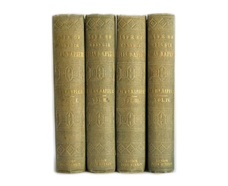
NAPIER (W.) The Life and Opinions of General Sir Charles James Napier . . . First Edition, 4 vols. folded map, 4 portraits, errata leaf (vol. 3) & advert leaves; blind, gilt-decorated & gilt-lettered cloth, partly unopened. 1857. * mostly the Peninsula, North America & India ('I have Scinde'- as every schoolboy used to know). Illustrated
Lot 1398
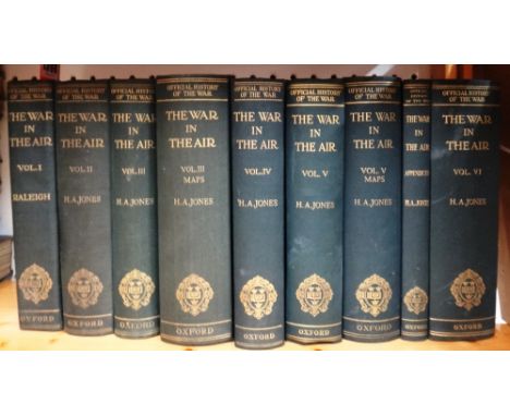
RALEIGH (W.) & JONES (H.A.) The War in the Air: being the story of the part played in the Great War by the Royal Air Force. First Editions, 6 vols., (text), Appendices vol., & 2 Map boxes. 142 maps (mostly coloured & folded, but 68 loose in the boxes) & num. folded tables, facsimile plate; gilt-buckram. 1922-37. * vol. v with a typescript presentation note (headed notepaper-Historical Section, Ctte. of Impl. Defence, Nov. 1935) to Lady Raleigh; perhaps the most detailed account of aerial warfare.
![[The] BIBLE, that is, the Holy Scriptures conteined in the Olde and New Testament . . . with most profitable annotations .](https://cdn.globalauctionplatform.com/f1dd6f0b-a80d-4362-8e97-a70b00a9c403/6b289bca-0b3e-420f-ffe2-5df30a3801d8/468x382.jpg)
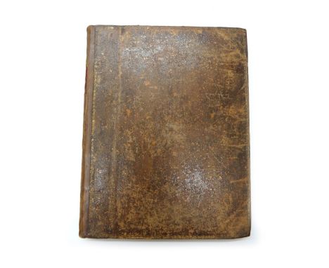
Lot 1410
[The] BIBLE, that is, the Holy Scriptures conteined in the Olde and New Testament . . . with most profitable annotations . . . num. OT. illus. (incl. title) & separate Second Part title; NT. with prelim leaf (incl. map) after illustrated title, text followed by tables & Sternhold/Hopkins Psalmes; old leather, sometime rebacked with panelled spine, 8vo., contained in cloth box, with red label on spine. imprinted at London by the Deputies of Christopher Barker, 1599. * d-column printing, extensive marginal notes; lacks one prelim, leaf, this text & tables with 452 (mostly numbered) folios.; Sternhold's Psalmes 98 (ex 104?)pp.; collates - q4 (lacks q2), A-28, &6, Aa-Pp8, Qq7, Aaa-Qqq8, Rrr4 & (Psalmes) A-F8, G3. Geneva version; this edition probably adopted by Barker, having been printed on the Continent at various dates, see Darlow & Moule 248

Lot 1480
John CARY - Cary's Reduction of his Large Map of England and Wales . . . 76 x 64cms., folded on linen within marbled covers, outline colour, in labelled slipcase. 1821. * detailed turnpike & other roads, navigable canals, etc.; towards the height of the coaching era, & 'published by order of . . . the Post Master General'; sold with 4 others, including Smith's England & Wales (1826, slipcase) & Walker's Railway Map (1837).


-
109182 item(s)/page