We found 109198 price guide item(s) matching your search
There are 109198 lots that match your search criteria. Subscribe now to get instant access to the full price guide service.
Click here to subscribe- List
- Grid
-
109198 item(s)/page


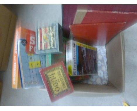
Lot 1755
A comprehensive collection of Falkland Islands postage stamps including 1948 thin map blocks of 6 from 3d to 1/- (bottom right blocks) a 154-62 set of 15 mint unmounted, 1952 George VI set to £1 hinged mint SG172-185 an almost complete u/mint collection from 1944-85, and a Yvert album with mint stamps from Queen Victoria onwards

Lot 1846
A Railway track layout map of Liverpool Street Station folding out on canvas in original binding together with two foldout line maps for GNR Running lines between London & Peterboro. and between Peterboro, Askern & Leeds 1914, both marked Superintendent of the Line, together with a small collection of railway related postcards


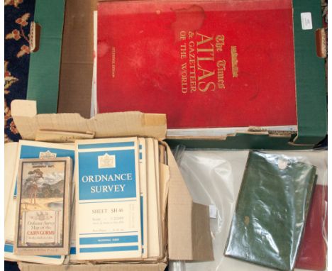
Lot 337
Books and Ephemera: Evelyn Waugh, Scoop 1938 Chapman and Hall (1st). Leif's Bicycle map of England and Wales 1877. A Maxim's menu folder by SEM (Georges Goursat 1863-1934). A Gilbert and Sullivan 1921-1922 season souvenir brochure. Gesenius's Hebrew Grammar (1846 Bagster & Sons) leather bound - damage to top of spine etc.


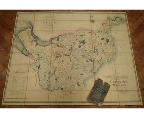
Lot 501A
six maps of various counties and dates plus pictures of mountainous scenery: One map of Cheshire showing parishes and Parliamentary divisions in 1971, size 1050x800mm One map of Wiltshire published by Chapman and Hall 1832 size 250x190mm One map of Hartfordshire, half sheet county map by Emanuel Bowen circa 1760, original hand colour size 330x230mm one map of Northumberland by Robert Morden 1965 and later, uncoloured, size 420x350mm One map Lancashire facsimile of Speed's 1611 map Portraits of Kings & Queens incl Richard III, fine art society 1906, size 510x380mm One map England & Wales divided into Counties, published circa 1760 by Thomas Kitchin, uncoloured, some repair, Size 490x410mm 13 pictures of Mountainous scenes (Q)

Lot 502A
Five County maps of Gloucestershire, various dates and publishers: One map by Badeslade Toms dated 1742, uncoloured , size 150x140mm One map by Sidney Hall, dated 1830, uncoloured size 245x190mm One map by HG Collins circa 1850, coloured as printed, size 420x350mm One map from Pictoral World Atlas circa 1870, description of County verso, coloured, size 415x350mm One map by Greenwood and Co, published 1831, coloured as printed. Vignette of Gloucester Cathedral by Creighton, size 680x600mm (5)


![PHILLIPS, J[ohn] & HUTCHINGS, W. F., A Map of the County of Stafford Divided into Hundreds & Parishes, From an Accura](https://cdn.globalauctionplatform.com/c3317d75-dc89-4a67-a453-a42f0098d4e6/ee2b05da-a373-4264-9a2c-8c139fe4655d/468x382.jpg)
Lot 100
PHILLIPS, J[ohn] & HUTCHINGS, W. F., A Map of the County of Stafford Divided into Hundreds & Parishes, From an Accurate Survey, Made in the Years 1831 & 1832, By J. Phillips & W. J. Hutchings, London, published by Henry Teesdale & Co. 302, High Holborn, London, August 1st, 1832, 137 x 100cm.; 54 x 39.5in.

Lot 95
Cheshire. Bryant (A.) Map of the County Palatine of Chester, from an actual survey in the years 1829, 1830 and 1831, large map in 2 horizontal sections, the upper sheet with decorative title, upper centre, the lower sheet with a vignette view of Chester Cathedral, lower right, engraved map with bright original hand-colouring, in 2 sections, overall 151.5 x 191.5cm.; 59.75 x 75.5in. dissected and mounted on linen, edged in green silk, some offsetting of text and vignette, folds into original green morocco endpapers, housed within gilt-lettered morocco pull-off case.

Lot 98
LIVERPOOL, BENNISON (JONATHAN) A Map of the Town and Port of Liverpool, large engraved map by J. Dower after Bennison, finely hand-coloured, dissected and laid on linen, folding into publisher's maroon morocco slipcase, rubbed, overall 130.5 x 180.5cm.; 51.25 x 71in, Liverpool, J. Bennison, 1835.


Lot 308L
ATLAS. MAPS OF THE SOCIETY FOR THE DIFFUSION OF USEFUL KNOWLEDGE, HAND COLOURED ENGRAVINGS INCLUDING THE GEOLOGICAL MAP OF ENGLAND AND WALES, FOREIGN COUNTRIES AND TOWN PLANS BOUND WITH THE INDEX TO THE PRINCIPAL PLACES IN THE WORLD (MODERN)...BY THE REV JAMES MICKLEBURGH, RECENT BROWN CLOTH, 1844, EX LIBRIS
-
109198 item(s)/page