We found 109182 price guide item(s) matching your search
There are 109182 lots that match your search criteria. Subscribe now to get instant access to the full price guide service.
Click here to subscribe- List
- Grid
-
109182 item(s)/page


Lot 286
A SELECTION OF 1920'S AND LATER ROAD AND MOTOR TOURING MAPS To include W&AK JOHNSTON'S Motoring and Touring Map of Scotland, The Graded Road Maps, The Lake District and 'Bartholomews Revised Half-Inch Contoured Maps', sold together with two posters from Kent Motor Club Hill Climb, at the Devils Kneading Trough.

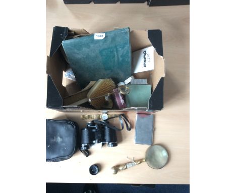
Lot 1482
Mixed Lot Of Collectibles To Include Tasco Zip 2004 Binoculars, Mother Of Pearl And Brass Magnifying Glass, White Metal Cigarette Case With Map Of Ireland Engraved To Front, Waddingtons Cir-Q-Lar Playing Cards, Plate Place Mats and Coasters in Box, 2 Pulsar Watches, Texas Intruments Watch, 2 Ivory Brushes Etc.


Lot 88
*Embroidered map. An Accurate Map of England and Wales, Ann Orton, 1776, Fecit, map of England and Wales divided into counties, plus part of Scotland and Ireland, with Alderney, Guernsey, Sark, and the edge of France, top right corner with title cartouche, finely worked in tent and cross stitch on linen, in blue, pink, black, yellow, white, and green silks, worn, with loss of threads and some holes and fraying to linen, especially at upper edge, approximately 60 x 50cm (23.5 x 19.5ins), mounted on linen, framed and glazed (1)
![[MAPS]. JOHN OGILBY (BRITISH, 1600-1676) 'The Road from London to St. David's' [London to Abingdon section], engraved ribbo](https://cdn.globalauctionplatform.com/f3ae273b-da83-463d-8590-a71200bf3712/494a3f12-cdea-470b-9a15-8b353e3394e1/468x382.jpg)
![[MAPS]. JOHN OGILBY (BRITISH, 1600-1676) 'The Road from London to Barstable' [Andover to Bridgwater section], engraved ribb](https://cdn.globalauctionplatform.com/f3ae273b-da83-463d-8590-a71200bf3712/b656da7a-7184-4a0c-864d-5a4a7c8f43de/468x382.jpg)
![[MAPS]. THOMAS KITCHIN (1718-1784) 'Ireland', engraved map, hand-coloured, 18.5cm x 22.5cm; and five other assorted maps, (](https://cdn.globalauctionplatform.com/f3ae273b-da83-463d-8590-a71200bf3712/f2451b49-f33a-4313-8929-ce02e381a64d/468x382.jpg)
![[MAPS]. CHRISTOPHER & JOHN GREENWOOD (1786-1855 and fl. 1821-1840) 'Oxford', engraved county map, hand-coloured, published](https://cdn.globalauctionplatform.com/f3ae273b-da83-463d-8590-a71200bf3712/7e132828-3c75-423b-8c39-906ac42adb78/468x382.jpg)
![[MAPS]. CHRISTOPHER & JOHN GREENWOOD (1786-1855 and fl. 1821-1840) 'Nottingham', engraved county map, hand-coloured, publis](https://cdn.globalauctionplatform.com/f3ae273b-da83-463d-8590-a71200bf3712/ad446387-9eea-48ed-d126-cdd7a77b2190/468x382.jpg)


Lot 1080
Postcards, Kent, a fine RP selection of 13 cards 'Holmesdale & Malling' at Sevenoaks, fruit pickers (unidentified), St John's Football Team (poss Tunbridge Wells), Bridge Opening, Tunbridge Wells, Parade, poss Tonbridge, (photo Allwork), Snowballs, Chislehurst, Lees Court hospital patients in Shepheard Neame Ltd of Faversham Lorries, George V Coronation procession (T.Wells), East Kent Cycle Corps Kennington 1909, Oak tree at Southborough, Carriage builders disaster, Tunbridge Wells, Westerham Mill, SE & Chatham Rail map with loco's (mainly gd)

Lot 1132
Ephemera, P. Jones Collection, mixed selection, various ages inc. London Postal Districts map, book 'The Humours of History' by A. Moreland containing 160 colour drawings used in The Morning Leader, scrapbook, circa 1887, mostly sporting & music cuttings from newspapers inc Cricket, Baseball, Horseracing, Oxford v Cambridge Boat race plus actresses etc (some pages only part complete), a small selection of banknotes inc. Fiji 1 & 2 dollar bills, stamps, New Zealand, 1, 2, 5 & 10 dollar bills, 3 travellers cheques & a counterfeit Scottish £50 note, some modern playing card sets, beer mats etc (gd) (1 large box)


Lot 3538
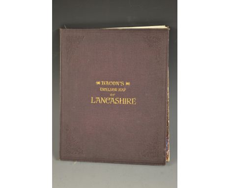
Bacon's Excelsior Commerival & Industrial Map of Lancashire, Showing Railways, Roads, Elevations & Distances, Also Local Government Divisions Including Parishes with Acreages, Revised according to the latest Ordnance Survey, index to margin, twenty-four fold hand-coloured copperplate engraving laid on linen, maroon buckram boards, marbled endpapers, 8vo

Lot 3539
Cartography/Maps - Geographic Map of the Southern Hijaz Quadrangle Kingdom of Saudi Arabia, by Glen F. Brown and Roy O. Jackson, Department of the Interior United States Geological Survey, U.S. Geological Survey, Washington D.C. 1958, manilla sleeve stamped and signed R.M.G. Varley; U.S. Department of Commerce, Civil Aeronautics Administrations, Aircraft Powerplant Handbook, January 1949, C.A.A. Technical Manual No. 107; Air Ministry Meteorological Office, Geophysical Memoirs No. 105, Upper Winds Over the World, Part III; monthly Station News-Sheet for Royal Air Force, Yatesbury - September 1956-February 1957 (6); another manual; Koninklijk Magnetisch en Meteorologisch Observatorium te Batavia [...] No. 14 [...] Regenval In Nederlandsch-Indie (Rainfall In The Netherlands Indies), 1925, Volume II only; other Dutch maps of Colonial Java, various; Bali; Carte Taride de l'Algérie, card sleeve; board folio of astronomical/celestial charts, U.S.S.R. Academy of Sciences, Institute of Theoretical Astronomy, USSR 1957; Ordnance Survey, coloured, including Dundee & St. Andrews [...] War Revision 1940 (2); Pratts Road Atlas of England and Wales 1929; a set of ten facsimile plates of John Weale's Cornish Pumping Engine, sleeve folders and binder; typed notes on scientific equipment; further ephemera (qty)
![Joan Blaeu (1596-1673), a two-page map, Rutlandia Comitatus, Rutland Shire, from the Millaria Anglica, [Amsterdam? c.1648], h](https://cdn.globalauctionplatform.com/72492f19-272b-4825-8c70-a71b00e71b5e/840431da-9452-47cf-a549-85f92bb74373/468x382.jpg)
Lot 3540
Joan Blaeu (1596-1673), a two-page map, Rutlandia Comitatus, Rutland Shire, from the Millaria Anglica, [Amsterdam? c.1648], hand-coloured engraving, printed with the coats of arms of the county grandees, allegories of cartography and pastoral scenes of plenty, 50cm x 60cm; Hawkins, Okeham Castle, in Rutlandshire, Published [...] by Alexander Hogg, [London 1786-1798], for Henry Boswell's Antiquities of England and Wales, hand-coloured engraving, 16.5cm x 20cm; Samuel Watson Palethorpe, Plan of the Town of Nottingham [...] Containing all the new Streets and Every Recent Alteration, Published For Deardens (sic) History and Director of Nottingham 1844, restrike, 41cm x 40 [3]


Lot 3542
A portfolio of military prints and posters, including Napoleonic Wars scenes, chromolithographs; Russian soldiers (2), off-set prints; Entry of King Leopold II Into Brussels, Illustrated London News 1865; later hand-coloured engraving, after William Hunsley, Cavalry Officer (1st Regt.) Dress, restrike; L'Armée Impériale 1804-1815, album; map/panorama, of Brema, hand-coloured copperplate-engraving; 20th century off-set prints, various themes and sizes; etc
Lot 3588
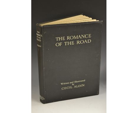
Aldin (Cecil), The Romance of The Road, first edition, Eyre and Spottiswoode Limited, London 1928, the front with inset tipped-in [...] Map of London [...in] 1828, further tipped-in plates by and after Aldin (10), maps after Cary (6), wood engravings throughout, titled black boards as issued, folio
Lot 3609
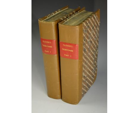
Local Interest - Glover (Stephen), The History and Gazetteer of the County of Derby: Drawn up from Actual Observation, and from the Best Authorities: Containing the Parochial and Family History, Biography, and Statistical Information, edited by Thomas Noble, Esq., Henry Mozley and Son, Derby 1829, volume I and volume II part I [complete as published], pull-out county map to title page, pull-out pedigrees, annotated throughout, additionally bound with a miscellany of local pamphlets and ephemera, including a clipped carte de visite and a two-sided ink ms. letter from the author to Mr. Sleigh discussing the latter's family pedigree, Glover's arrival and early career in Derby and further pleasantries, additional ink ms. lettters (loose), An Attempt At A Derbyshire Glossary by John Sleigh (xi), A Derby Armory by John Sleigh (xvi), The Chronicle of The Derby Blues parts I and II, Persons Hanged in Derby: From 1732 to the Present Time, further printed antiquarian notes and pamphlet extracts, illustrated throughout with various collected harlequin engraved prints of subjects pertaining to the text, 18th century and onwards, armorial bookplate Cecil George Savile Foljambe [the former Lord Hawkesbury, later 1st Earl of Liverpool], another armorial bookplate, later half-calf and marbled boards, 8vo
![Miscellaneous - Potter (T.R.), The History and Antiquities of Charnwood Forest [...] An Appendix, On The Geology, Botany, and](https://cdn.globalauctionplatform.com/72492f19-272b-4825-8c70-a71b00e71b5e/018419a0-ac23-4474-9142-599a3307e651/468x382.jpg)
Lot 3613
Miscellaneous - Potter (T.R.), The History and Antiquities of Charnwood Forest [...] An Appendix, On The Geology, Botany, and Ornithology of the District, Hamilton, Adams and Co., London 1842, xii, 192, 80pp, hand-coloured map, geological strata and sub-title page, two-tone lithographs and monochrome engravings throughout, period boards, broad 4to; Rerum Britannicarum Medii Aevi Scriptores, Or Chronicles and Memorials of Great Britain and Ireland During The Middle Ages: Chonica Johannis de Oxenedes, edited by Sir Henry Ellis, K.H., F.R.S., S.A., Longman, Brown, Green, Longmans, & Roberts, London 1859, two-page chromolithograph of manuscript leaf to front, unbound and mainly uncut, period wrap, 8vo [2]

Lot 1379
Royal memorabilia - a commemorative beaker, coronation of George V and Queen Mary, dated 1911 with a commemorative medal; a souvenir British Railways map showing the rote of Queen Elizabeth II's coronation procession; a programme relating to the visit of The King and Queen and Princess Elizabeth to Canterbury 1946; American Science and Invention magazines 1920s and 1930s; sheet music etc


Lot 437
A Kenyah shield Borneo, Indonesia wood, paint, hair and rattan, the front painted Udoq monster masks with large eyes and fangs with inset strands of hair, the reverse with a central rib and an integral handle and painted two ancestor figures and further masks, with a Charles Hose, Sarawak label and a Oldham disc tag, 115cm high. Provenance Charles Hose (1863 - 1929) William Ockelford Oldham (1879 - 1949) Private collection, UK Charles Hose joined the Sarawak civil service and was sent to the Baram River district which he governed as its most senior official from 1888. He progressed quickly through the ranks. He was instrumental in eradicating headhunting and brokered a peace agreement between various enemy tribes in Marudi in 1899. In his pastime Hose liked to venture into the rainforest and he became an avid collector of plants and animals. In this he was supported by Raja Charles Brooke, founder of the Sarawak Museum. Hose discovered numerous new species and chartered the first map of the area. His exploitations led him to become intrigued by the natives of the Baram River who he studied and from whom he collected anthropological objects, some of which can be found at The British Museum, including eight similar shields, and the Museum of Archaeology and Anthropology in Cambridge.

Lot 382
Various glass paperweights, to include Pembroke pink and white glass domed example, 12cm high, another in blue and orange swirls, a Highland Arts yellow and plain glass paperweight, etc., two map weights, a Classic Beauty limited edition plate and a vintage oak tie press with chrome plated mounts. (a quantity)


-
109182 item(s)/page