18th Century Tokens, ESSEX, Braintree and Bocking, William Goldsmith, Halfpenny, 1794, 10.70g/6h (DH 4); GLOUCESTERSHIRE, Newent, John Morse, Halfpenny, 1796, 11.07g/12h (DH 64); LINCOLNSHIRE, Sleaford, Thomas Ball, Halfpenny, 9.65g/6h (DH 3b/DH Lancashire 137 bis); LONDON, Haymarket, Francis Shackelton, Halfpenny, 1794, 8.91g/12h (DH 476), Newgate Street, Henry Symonds, William Winterbotham, James Ridgway and Daniel Holt, Kempson’s Halfpenny, 1795, 10.69g/6h (DH 396b); SOMERSET, Bath, Francis Heath, Farthing, 1794, 4.66g/6h (DH 115), John Jelly, Lutwyche’s Halfpenny, 1794, 8.54g/6h (DH 26, large flan); Unlocalised issues, Lutwyche’s Duke of York Halfpenny, 1795, 9.16g/6h (DH Middlesex 986), Mainwaring’s ‘Map of France’ Halfpenny, 1794, 10.37g/12h (DH 1016d), Uncertain manufacturers, Benevolent Choral Fund Halfpenny, 1791, 7.85g/6h (DH 1021) [10]. Very fine and better £80-£100


![[NOBLE (W B)]A Guide to the Watering Places, on the Coast, between the Exe and the Dart; including Teignmouth, Dawlish, and T](https://cdn.globalauctionplatform.com/730d9589-246e-4a32-b1d9-ad0f009d6a82/ff39a8dd-ffe2-412a-8039-ad1200b46b5e/468x382.jpg)


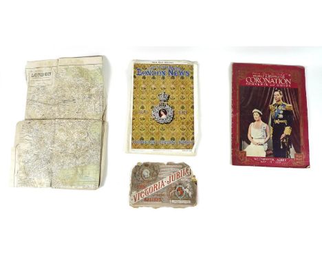
![[MAP]. LONDON Laurie's New Plan of London and its Environs, improved edition, 1834, engraved map, dissected and linen-backed](https://cdn.globalauctionplatform.com/8afbec93-350f-4f6d-ae58-ace100a7b0fc/1300dd82-7436-4f83-a669-ad1d010eed13/468x382.jpg)
![[MAP]. HARROGATE, YOKSHIRE Palliser's Plan of High & Low Harrogate comprising the Stray or Two Hundred Acres, surveyed by](https://cdn.globalauctionplatform.com/8afbec93-350f-4f6d-ae58-ace100a7b0fc/dbd10914-d8b3-4826-92d5-ad1a014a0799/468x382.jpg)


![[America/Canada] The English In America, The Puritan Colonies, 1887 in 2 volumes + Virginia, Maryland and the Carolinas 1889](https://cdn.globalauctionplatform.com/3952e8d4-dbaf-47f6-bbfb-acda00dfd0db/f2cec7f1-b76f-49ad-afb0-acdb00ebcac5/468x382.jpg)
![[Africa] Uganda by Thomas & Scott 1935. South of Suez by Makin. West Africa with Maps & Illustrations. The Scramble f](https://cdn.globalauctionplatform.com/3952e8d4-dbaf-47f6-bbfb-acda00dfd0db/fa64b003-2a54-4596-80a5-acdb00ebb120/468x382.jpg)
![[Australia/South Seas] New South Wales 'The Mother Colony of The Australias' 1896 with folding Panoramic View of Sydney Harbo](https://cdn.globalauctionplatform.com/3952e8d4-dbaf-47f6-bbfb-acda00dfd0db/6abd51de-049c-471b-a737-acdb00e26ba4/468x382.jpg)
![[Signed] Wainwright in Lakeland published by The Governors of Abbot Hall Art Gallery, Kendall and printed by Westmoreland Gaz](https://cdn.globalauctionplatform.com/3952e8d4-dbaf-47f6-bbfb-acda00dfd0db/b53c9850-1ecc-4b56-b68d-acdb00eb4e41/468x382.jpg)