We found 109182 price guide item(s) matching your search
There are 109182 lots that match your search criteria. Subscribe now to get instant access to the full price guide service.
Click here to subscribe- List
- Grid
-
109182 item(s)/page


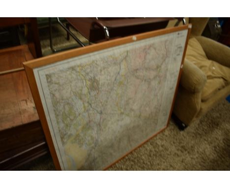

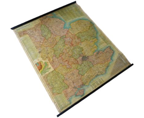
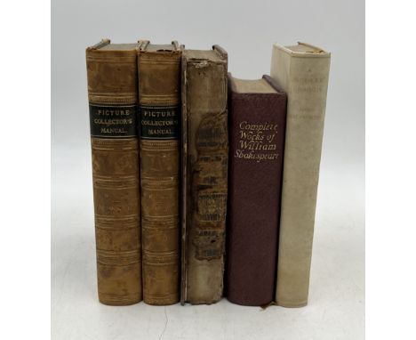
Lot 2283
Framed engraving for 'Britain's Picturesque Antiquities of English Cities', 'New Inn, Gloucester' framed, a modern framed map of Yorkshire, two Oriental silk embroidered pictures of birds of paradise amidst cherry blossom, 103cm x 40cm to include the frames, a large framed print for the Uffizi Gallery in Florence showing Botticelli's Venus, and a Japanese silk painting of horses watering by a stream, 130cm x 53cm to include the frame (6)

Lot 510
After Herman Moll (1654-1732, British), coloured engraving, 'Cumberland' a hand coloured map with Ellenborough altar illustration, together with a smaller map of 'Westmoreland and Cumberland', after Pieter van den Keere (1571-1646, Dutch), both framed, mounted, and under glass, the largest measures 21cm x 27cm, & 34cm x 41cm overall (2)


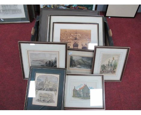
Lot 406
A group of prints and maps, comprising 'An Accurate Map of Devon Shire ...', by Emmanuel Bown, 53 by 68 , glazed and framed, 60 by 45cm, 'New Map of the County of Northamptonshire', 36 by 44, mounted, glazed and framed, 51 by 60cm, 'Hobbinol & Ganderetta' after Gainsborough, 46 by 35cm, glazed and framed, 60 by 45cm, 'Lincoln Cathedral', 71 by 54cm, and 'North West Aspect of York Cathedral', 44 by 47cm. (5)


![Rob.MordenAntique coloured map of Scotland[48x40cm]](https://cdn.globalauctionplatform.com/bc91b411-9b7c-4379-aa32-b14100b9f48a/f0494608-a70e-4116-b34d-b14100f64c83/468x382.jpg)


![Speed (John), York Shire, Sudbury and Humble, 1610 [1611 or later], hand-coloured engraved map; Saxton (Christopher) & Ho](https://cdn.globalauctionplatform.com/db50296f-1fd0-47e8-bb4d-b0ce00afa320/2c29718b-8030-488b-9fcb-b14101143445/468x382.jpg)
Lot 1311
Speed (John), York Shire, Sudbury and Humble, 1610 [1611 or later], hand-coloured engraved map; Saxton (Christopher) & Hole (William), Eboracensis Comitatus pars Occidentalis vulgo West Riding, no date, hand-coloured enrgaved map, mounted, framed and glazed; together with three other engraved framed maps (5)


Lot 238
BINGLEY REV. WILLIAM. Travels in Africa from Modern Writers With Remarks & Observations ... Designed for the Use of Young Persons. Eng. title vignette. Half brown morocco, marbled brds. 1819; also John Whitford, Trading Life in Western & Central Africa, author's pres. inscription to title, half brown morocco, Liverpool, 1877. (2). Travels in Africa- Partial folding map of river Niger on page 120


Lot 23
ASKEW JOHN. A Voyage to Australia & New Zealand .. by a Steerage Passenger. Subscriber's list (that is sometimes lacking). 12mo. Rebound blue ex lib. cloth, marginal tapes to first two leaves & lib. stamp to reverse of title. Scarce, London & Cockermouth, 1857; also Department of Lands & Surveys, Western Australia, Handbook for Surveyors & Draftsmen, tables, diags. & large fldg. map. Appendix 3 & 4 in end pocket. Limp morocco, Perth, 1911. (2).


Lot 297
CALVERT ALBERT F. The Exploration of Australia. Frontis & plates. Lacking the fldg. map but a photocopy facsimile slipped in. Quarto. Two tone cloth, some mkg. & wear. 1895; also the second edition of the same with fldg. col. map, 1896; & C. Carlyon Jenkyns, Hard Life in the Colonies & Other Experiences by Sea & Land, 1892, & 1 other. (4).


Lot 285
Railways Clearing House. Official Railway Map of London & Its Environs. Large fldg. linen map with the details hand coloured. 1899. Condition report:No case is present. Remains of end boards are scuffed and torn. Personal inscription in pen to the cover. Map plates yellowed and ingrained with dirt.


Lot 291
WRAXALL N. W. A Tour Through the Western, Southern & Interior Provinces of France in the Year 1775 & 1776. Half title. 12mo. Orig. brds., some wear & splitting to back strip. 3rd ed., "Corrected & Augmented", 1807; also (John Barrow), A Family Tour Through South Holland, Up the Rhine & Across the Netherlands to Ostend, eng. frontis, fldg. eng. map & 9 eng. plates, as called for (some plates with marginal damp stng.), 24mo, old calf, bookplate of Earl de Grey, Wrest Park, 1831. (2).


-
109182 item(s)/page