
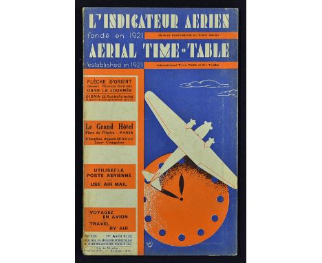
Lot 129
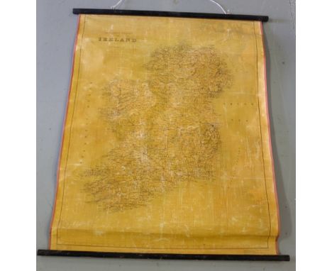
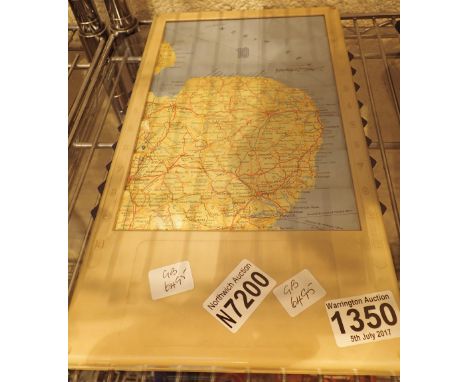
Assorted Poster Selection to include 1977 Review of the Fleet by Her Majesty Queen Elizabeth II to Commemorate The Silver Jubilee of Her Accession To The Throne, Royal Navy Falklands Taskforce, Caledonian Railway Panoramic Map, The Scilly Isles reproduction from 1906, two BTA posters, Mexico 1986 poster, 2x Seoul 1988 Posters, in varying sizes, large to small (9)


![[MISCELLANEOUS] Shaw's Guide to Carlingford Bay, Newry, Warrenpoint, Rostrevor, Newcastle, and the Mourne Mountains, The Gra](https://cdn.globalauctionplatform.com/f707ab78-3689-433d-a322-a7a000942f60/f8db5e7d-e09e-40cb-bef9-f07182c1cbd1/468x382.jpg)
![[MAPS] Up and Down the River. Bennet's Map & ABC Guide to the River Thames from Oxford to Gravesend, fifteenth edition, Benn](https://cdn.globalauctionplatform.com/f707ab78-3689-433d-a322-a7a000942f60/c36c8531-4641-4510-a712-db75dbbf8f81/468x382.jpg)


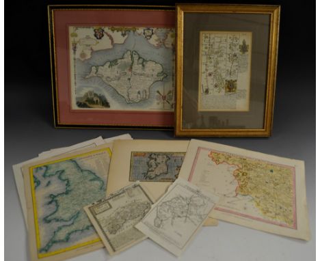
![[Guthrie (William)], The Auftrian (sic), French and Dutch Netherlands, from the beft (sic) Authorities, Published by C: Dilly](https://cdn.globalauctionplatform.com/6cd3f0fb-6e72-4e0a-a3a3-a78600808b75/5ff8ab10-2045-4c28-ed3c-86442a4975e9/468x382.jpg)


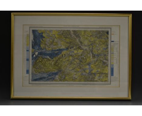
![Ordnance Survey of Ireland: Geological Survey of Ireland, Cushendall [County Antrim], Sheet 14, Engraved at the Ordnance Surv](https://cdn.globalauctionplatform.com/6cd3f0fb-6e72-4e0a-a3a3-a78600808b75/2bf49886-5e62-4238-c09d-4fd09f2c138c/468x382.jpg)

![Ireland - Hall (Mr & Mrs S.C.), Ireland, Its Scenery, Character, &c., two-volume set, Hall, Virtue, and Co., London [c. 1860]](https://cdn.globalauctionplatform.com/6cd3f0fb-6e72-4e0a-a3a3-a78600808b75/3c041335-be90-4869-9fbc-dbb0f8f1cd89/468x382.jpg)