We found 109198 price guide item(s) matching your search
There are 109198 lots that match your search criteria. Subscribe now to get instant access to the full price guide service.
Click here to subscribe- List
- Grid
-
109198 item(s)/page


![WYNDHAM (H), A GENTLEMANS TOUR THROUGH MONMOUTHSHIRE AND WALES, 2nd edition,viii + 218 + [6], engraved frontis, London, Evans](https://cdn.globalauctionplatform.com/ae176ff7-b105-47cb-835c-a6f50127a6bf/7651270e-e0de-4a21-f289-2821fdc2c222/468x382.jpg)
Lot 343
WYNDHAM (H), A GENTLEMANS TOUR THROUGH MONMOUTHSHIRE AND WALES, 2nd edition,viii + 218 + [6], engraved frontis, London, Evans, 1794; HEMINGWAY (J), PANORAMA OF THE BEAUTIES, CURIOSITIES AND ANTIQUITIES OF NORTH WALES, 2nd ed, viii + 314 + vi (index), frontis, three plates and folding map, full calf, London, Groombridge, 1835 (2)


Lot 376
JOHNSTON (A), ATLAS TO ALISON'S HISTORY OF EUROPE, new edition, engraved frontis with military signs and fortification notes, 106 hand coloured plans and maps of battles and sieges, folded linen backed map at end, re-backed green leather boards with gilt arms fro Elizabeth College Gurnsey, William Blackwood, 1850 (1)

Lot 500
BRASSEY (MRS), A VOYAGE IN THE SUNBEAM, 7th ed, with folding map, engraved plates and other illustrations, London, 1878; SUNSHINE AND STORM IN THE EAST OR CRUISES TO CYPRUS AND CONSTANTINOPLE, map and plates, London 1880; IN THE TRADES AND TROPICS AND THE ROARING FORTIES, map and plates, Longmans, 1885; THE LAST VOYAGE, Longmans, 1889; BRASSEY (EARL), THE "SUNBEAM" R.Y.S, London, John Murray, 1917; with, (5)
Lot 342
BARBER (T), BARBER'S PICTURESQUE ILLUSTRATIONS OF THE ISLE OF WIGHT, with forty plates and folding map, vignette of Cowes, green cloth, London, Simpkin, c1834; WANDERINGS IN THE ISLE OF WIGHT, first edition, vi + 186, title vignette and folding map, other decorations, London, Religious Tract Society, 1846 (2)

Lot 353
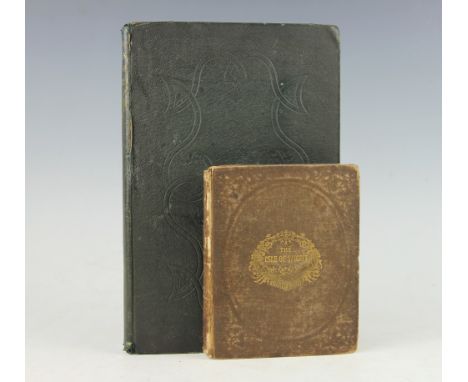
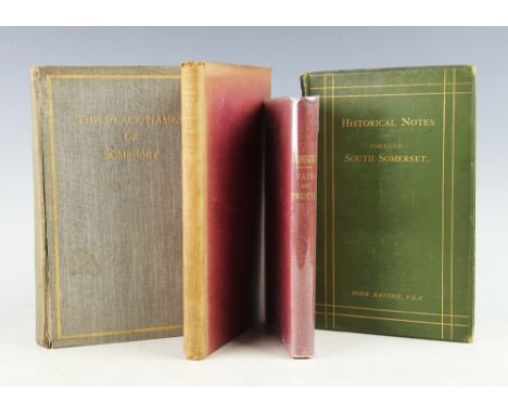
HILL (J), THE PLACE NAMES OF SOMERSET, subscription edition, No 45/300, illustrated, Bristol, 1914; BATTEN (J), TOPOGRAPHICAL COLLECTIONS RELATING TO THE EARLY HISTORY OF PARTS OF SOUTH SOMERSET, green cloth, London, 1894; HOLMES (T), THE HISTORY OF THE PARISH AND MANOR OF WOOKEY, first edition, frontis and double page map, Bristol, 1885; ROBINS (W), PADDINGTON PAST AND PRESENT, xv + 200, red cloth, Camden Town, 1853 (4)
Lot 479
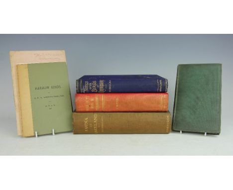
MACPHERSON (REV. H), A VERTEBRATE FAUNA OF LAKELAND, with plates and map complete as per list, Edinburgh, 1892; WHITAKER (J), NOTES ON THE BIRDS OF NOTTINGHAMSHIRE, signed by the author and with two additional photographic postcards from the author tucked in, Nottingham, 1907; BULL (H), NOTES ON THE BIRDS OF HEREFORDSHIRE, with photographic portrait frontis and two letters from a William Blake dated 1928 tucked in, London & Hereford, 1888; BARRETT-HAMILTON (G), 1891 HARROW BIRDS, with letter from the author tucked in, Harrow, for the society of J. C. Willbee, 1892; HUTCHINSON (T), HEREFORDSHIRE BIRDS, with typed and signed letter from the author dated May 29th 1911 tucked in; RUDIMENTS OF CONCHOLOGY, new edition, 1837 (6)

Lot 512
CLARK (R), REMARKS ON THE TOPOGRAPHY AND DISEASES OF THE GOLD COAST, 54, 3, possible presentation copy, 'Presented by the author R Clark' on the paper cover, folding map, engraved plate and two tracing paper hand drawn plates, no publisher, c1860.The Gold Coast was a British Colony on the coast of guinea - West Africa, later Ghana. African interest, Ashantee, Medical interest. A scarce book (at fault)


Lot 374
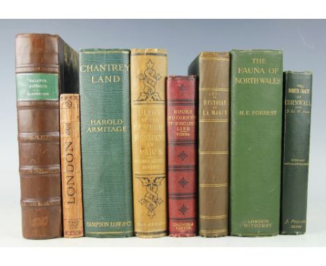
HARTSHORNE (C), SALOPIA ANTIQUA, first edition, 22 + 640 + 8, colour half title, later 3/4 leather with marbled boards, Cambridge, 1841; FORREST (H), THE VERTEBRATE FAUNA OF NORTH WALES, folding colour map, illustrations and portraits, 1907; PAGE (J), THE NORTH COAST OR CORNWALL, frontis and 19 other illustrations, Truro, 1897; LONDON AND THE FRANCO BRITISH EXHIBITION, 1908, folding map, Ward Lock & Co; ARMITAGE (H), CHANTREY LAND, first edition, frontis and drawings by Ashmore, London, 1910; LABOUCHERE (H), DIARY OF THE BESEIGED RESIDENT IN PARIS, London, 1871; TIMBS (J), NOOKS AND CORNERS OF ENGLISH LIFE, PAST AND PRESENT, first edition, 1867; LEVI (E), HISTOIRE DE LA MAGIE, frontis and 15 plates, Paris, 1904 (8)

Lot 535
THE TRENTHAM ESTATES STAFFORDSHIRE - three volume auction catalogue, comprising Vols I & II of lots laying the west and east of the North Staffs Rly Line from Stoke to Stafford, on October 14th - 16th & 21st - 24th 1919, 1123 lots, with many black and white illustrations of farms and cottages; with Vol III The Tittensor and Barlaston portion of the Trentham Estate on July 28th 1914, with map, black and white illustrations and eleven estate maps. Sold by Barbers of Wellington and Knight Frank & Rutley (3)


Lot 570
John Evans,A set of nine hand coloured engravings,To Sir Watkin Williams Wynn Bart - This Map of the Six Counties of North Wales is most humbly inscribed by his obedient servant John Evans, With hand coloured title page of Valle Crucis Abbey near Llangollen, Llwynygroes, June 1st 1795,61cm x 76cm,Unframed (9)


Lot 297
WILLIAMS (F), AN HISTORICAL AND TOPOGRAPHICAL DESCRIPTION OF THE MUNICIPIUM OF ANCIENT VERULAM, THE MARTYRDOM OF ST ALBAN, two vols, ii + 203; lxiii + iv + 157 + (6 index), folding map and key frontis to vol I and engraved plate, vol II with three further plates, full tree calf with sectional tab spines, St Albans, 1822 (2)

Lot 417
BRADSHAWS RAILWAY, SHIPPING, HOTEL GUIDE FOR GREAT BRITAIN AND IRELAND, No 1272, 1939; CROAL (D), THE CANADIAN PACIFIC RAILWAY, London, Effingham Wilson, 1906; CRUCHLEY'S ROAD AND RAILWAY MAP OF NORTHUMBERLAND, Gall & Inglis 1865; ROTH (W), TRAVELS IN BRITISH GUIANA 1840-1844, reprint of the 1847 edition, paper covers, 1953 (4)


Lot 478
USSHER (R) & WARREN (R), THE BIRDS OF IRELAND, with colour frontis and other illustrations, blue cloth with map detailing, London, Gurney & Jackson, 1900; with, THE BIRDS OF DUBLIN & WICKLOW, small pamphlet; MATHEW (REV. M), THE BIRDS OF PEMBROKESHIRE AND ITS ISLANDS, with frontis and photographic plates, with two other prints of photographs tucked in, one signed Geoffrey C S Ingram verso, London, 1894 (3) (the latter ex Severn Valley Field Club)


Lot 293
BROLASE (W), ANTIQUITIES HISTORICAL AND MONUMENTAL OF THE COUNTY OF CORNWALL, pp xvi + 464, 2nd edition, complete with 37 plates comprisin frontis map of Cornwall, folding map, twenty-five full page plates and ten text plates, original grey paper covered boards, London, Bowyer and Nichols, 1769 (1)

Lot 295
BERRY (SIR EDWARD), AN AUTHENTIC NARRATIVE OF THE PROCEEDINGS OF HIS MAJESTY'S SQUADRON, UNDER THE COMMAND OF REAR ADMIRAL HORATIO NELSON from its sailing from Gibraltar to the conclusion of the Battle of the Nile, as issued, 56pp, folding map (worn down the fold), third edition, London, Cadell, 1798 (1)


Lot 330
JOHNSTON (J), REALITY VERSUS ROMANCE IN CENTRAL AFRICA, 353pp, frontis, fifty other plates and map at end, later 3/4 leather with marbled boards, London, Hodder & Stoughton, 1893; TANGYE (H), IN NEW SOUTH AFRICA, travels in the Transvaal and Rhodesia, frontis, fourteen plates and folding map, later 1/2 calf with marbled boards, London, 1896; GREENWOOD (J), CURIOSITIES OF SAVAGE LIFE, with nine colour plate illustrations, London, Beeton, 1863 (3)


Lot 333
CAMPBELL (MEJOR GENERAL), A PERSONAL NARRATIVE OF THIRTEEN YEARS SERVICE AMONGST THE WILD TRIBES OF KHONDISTAN FOR THE SUPPRESSION OF HUMAN SACRIFICE, first edition, ix + 320 + (8 - publishers booklets), vignette, five plates and folding map, (lacks frontis), later 3/4 calf with marbled boards, London, Hurst & Blackett 1864 (1)


Lot 141
PRINT OF CIRCULAR QUAY, WEST SIDE WITH INLAID MAP OF SYDNEY AND PORT JACKSONfirst published in Picturesque Atlas of Australasia, London, 1886. Main print signed T. Schell. 25 x 20.5cm. Small map 11 x 8 cm, mounted, framed and under glass.CAMBRIDGE UNIVERSITY COLLEGE MAP HAND COLOURED PRINTdrawing by G. Cole, engraved by J. Roper, published by Vernot & Hood, Poultry, London, 1804. From the series: The Beauty of England and Wales (1801-1815) 20 x 25.5cm, mounted, framed and under glass.2 prints


-
109198 item(s)/page