We found 109182 price guide item(s) matching your search
There are 109182 lots that match your search criteria. Subscribe now to get instant access to the full price guide service.
Click here to subscribe- List
- Grid
-
109182 item(s)/page


Lot 563
19th Century mahogany map or plan chest with brass recessed handles and leather inset top.(B.P. 24% incl. VAT) CONDITION REPORT: 96x66x88cmGenerally worn overall with some chips and losses to drawer edges and angles. Scuffed and scratches with age and use. Leather top has wear but is basically good.

Lot 123
Brass marine three drawer telescope by P. & P. Gully and Co. 'Improved Day or Night'. Together with a pair of 10 x 50 Zenith binoculars in pig skin case and a canvas map case containing Stanfords coloured chart of the Thames Estuary, in hard linen case with canvas backing. (3)(B.P. 24% incl. VAT) CONDITION REPORT: Telescope - Think it will focus but very sticky in action.2 covers.Big lens looks OK.Binoculars - Seems fine and focus

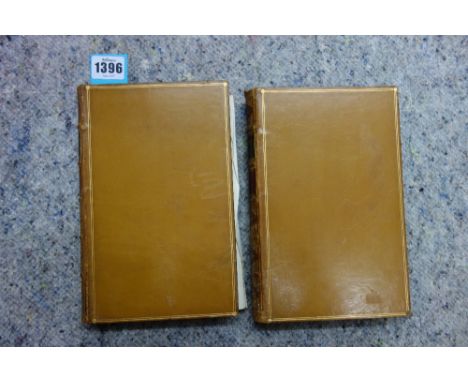
Lot 1396
MARTIN (R.M.) China; Political, Commercial, and Social . . . First Edition, 2 vols. large folded & coloured map, 2 folded sketch maps & 4 folded tables, errata (etc.) leaf, half titles; later 19th cent. gilt-ruled polished calf, gilt-decorated & panelled spines, marbled e/ps. & edges (by Bickers). 1847. * pleasant Eton leaving inscription (with mounted photograph)
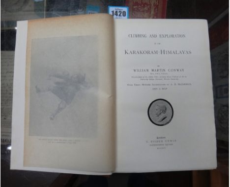
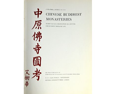
Lot 1424
PRIP-MOLLER (J.) Chinese Buddhist Monasteries: their plan and its function as a setting for Buddhist monastic life. First Edition. coloured frontis., 130pp. of full-page collotype photo. illus. (some of 2/3 images, 1 d-page), 32pp. of full-page plans & other drawings (6 coloured, 2 folded), a page of music, a sketch map, 4 large folded pocket plans & num. other text illus.; gilt-lettered parchment-backed paper boards, folio. Copenhagen & London, 1937. * a truly monumental work; unsurpassed & almost certainly unsurpassable. Illustrated
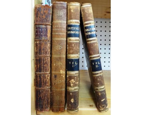
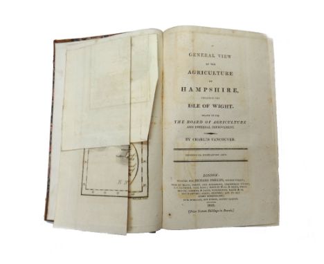
Lot 1479
KENT (N.) Hints to Gentlemen of Landed Property. 2nd edition. 10 folded plates, advert. leaf; contemp. calf. 1776; together with [YOUNG, A.] View of the Agriculture of Oxfordshire . . . First Edition. coloured & folded map, 27 engraved plates (3 folded); contemp. half calf & marbled boards. 1809; & 2 related volumes.


Lot 217
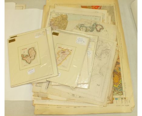
An unframed hand-coloured engraved map, 'Arabian Gulf or Red Sea', from D'Anvilles Atlas eng. for John Harrison, 47 x 34cm and three other unframed hand-coloured maps, 'China' by J Jefferys, 'Northern part of Russia or Muscovy in Europe' and 'Southern part of Russia or Muscovy in Europe', by J Russell, (4).

Lot 224
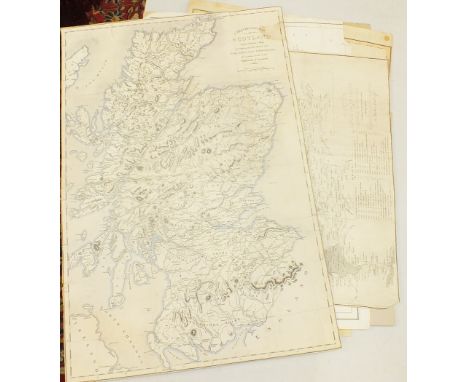
An early-19th century map of Scotland, 'A Travelling Map of Scotland', copied from a map accompanying the reports of a Parliamentary Commission for making roads in the Highlands of Scotland, dated 1811, 56 x 38.5cm, a 'Map of Scotland, Distinguishing Particularly the Districts and Counties Inhabited by the Highland Clans', eng. R Scott, 47.5 x 37cm and two other maps of Scotland.


Lot 1013
A 1970's oil on canvas, depicting figures in a landscape; a framed map of the Thames and Medway; oil on panel, Winter landscape; watercolour, a street scene, Norah Simpson; watercolour of a temple; woolwork picture; watercolour still life; Continental seascape, oil; and black and white engraving


-
109182 item(s)/page