We found 109182 price guide item(s) matching your search
There are 109182 lots that match your search criteria. Subscribe now to get instant access to the full price guide service.
Click here to subscribe- List
- Grid
-
109182 item(s)/page


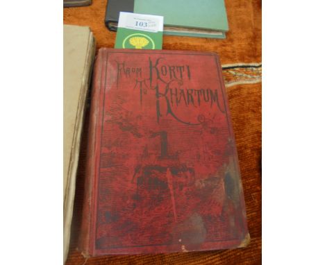
Lot 288
FENELON, de La Motte - Les Avantures de Telemaque, fils d'Ulysse...Jean Conrad, Wohler (Stuttgeart) 1762, 2 vols. in one, portrait, folding map of the Mediterranean. High quality engraved illustrations throughout. Ms ownership inscription on rear ep.dd. 1782, contemporary calf, decorative end papers


Lot 87
HOWLETT, Bartholomew - A Selection of Views in the County of Lincoln comprising the Principal Towns and Churches, the remains of Castle and Religious Houses, and Seats of the nobility and Gentry; with Topographical and Historical Accounts of each view. London, William Miller, 1805 (Printed by W. Bulmer & Co). 4to. full diced Russia, rebacked, recornered, gilt key pattern borders. Hand coloured frontis map. Engraved vignette on t.p. Very clean, crisp large copy. Plates almost unblemished. Marbled e.p's Engraved bookplate of Robert Wright Taylor. 13" x 10 1/2". Subscription copy of Wm. Cloyne, dated 1805


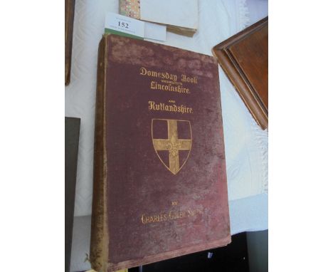
Lot 152
LINCOLNSHIRE DOMESDAY BOOK - A Translation of that portion which realates to Lincolnshire and Rutlandshire by Charles Gowen Smith. Folding map after Saxton. Subscribers List. 8vo. c. 1870. Binding loose and stained and other books about the County. (Guide Price £30-40)VINTAGE ADMIRALTY SEA CHARTS, FOLDING ON PAPER

-
109182 item(s)/page