Jeschke Jádi Auctions Berlin GmbH
Lot 431
Christo (d. i. Chr. Javacheff). (1935 Gabrovo/Bulgarien - 2020 New York). 5 Serigraphien in: 10 Million Oil Drums Wall, Project for the Suez Canal. 1972. Mit 3 Farbserigraphien und 2 s/w Serigraphien nach einer Photographie bzw. einer Landkarte. Je auf Bristolkarton. Blattmaße je 70,5 x 55,3 cm. 2 Farbserigraphien je signiert und nummeriert bzw. bezeichnet "A/P". - Kanten angestoßen. Punktuell leichte Flecken und Lagerspuren, auch verso. Dort partiell leichter Papierabrieb als Spur einer ehemaligen Montierung. Insgesamt gut. Ausgezeichnete Drucke der formatfüllenden Darstellungen. Schellmann 56 - 58. - 1 Blatt eines von 5 artist's proofs außerhalb der Auflage, 1 Blatt eines von 70 Exemplaren. - Ohne das Textblatt von Werner Spies und die Kassette. - Hg. v. Fischer Fine Art, London. - Druck bei Hans-Peter Haas, Stuttgart. - Die Idee zu dem Projekt entstand 1967 in Zusammenhang mit dem ägyptisch-israelischen Sechstagekrieg, der sich geographisch auch um den strategisch wichtigen Suez-Kanal entfachte. Christos Idee war es, eine Mauer aus schwimmenden Ölfässern zu arrangieren, die Kanal sperren und zu einer Deeskalation zwischen den israelischen Streitmächten auf der Einen und den ägyptischen und jemenitischen Soldaten auf der anderen Seite führen sollte. 5 silkscreens in: 10 Million Oil Drums Wall, Project for the Suez Canal. With 3 colour silkscreens and 2 b/w silkscreens after a photograph resp. a map. Each on Bristol board. 2 Colour silkscreens each signed and numbered resp. inscribed "A/P". - Edges somewhat bumped. Some spots and storage traces in places, also on the verso. There partially slight paper abrasion as trace of a former mounting. All in all good. Excellent impressions of the full-sized depictions. - 1 work one of 5 artist's proofs outside the edition, 1 work one of 70 copies. - Without the text sheet by Werner Spies and the portfolio. - Published by Fischer Fine Art, London. - Printed by Hans-Peter Haas, Stuttgart. - The idea for the project arose in 1967 in the context of the Egyptian-Israeli Six-Day War, which also flared up geographically around the strategically important Suez Canal. Christo's idea was to arrange a wall of floating oil barrels that would block the canal and lead to a de-escalation between the Israeli forces on one side and the Egyptian and Yemeni soldiers on the other.


![Framed Map; Cabool, The Punjab and Beloochistan. [Frame 44xx53cm]](https://cdn.globalauctionplatform.com/0f834287-ac03-43ba-aa14-b02300a1e0f8/a6c25eb3-c1a2-446b-a98d-b023011662bb/468x382.jpg)
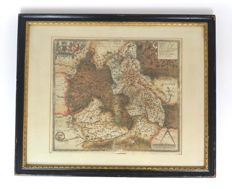
![Antique framed map [53x67cm]](https://cdn.globalauctionplatform.com/0f834287-ac03-43ba-aa14-b02300a1e0f8/a98e7adb-16eb-4c78-8d8b-b02301171944/468x382.jpg)
![Antique W & A.K Johnston's Map Of The World on Mercator's Projection.[98x135cm]](https://cdn.globalauctionplatform.com/0f834287-ac03-43ba-aa14-b02300a1e0f8/9e9f4aab-dd62-4482-8e32-b023010d02c5/468x382.jpg)


