We found 109198 price guide item(s) matching your search
There are 109198 lots that match your search criteria. Subscribe now to get instant access to the full price guide service.
Click here to subscribe- List
- Grid
-
109198 item(s)/page


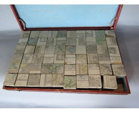

Lot 285
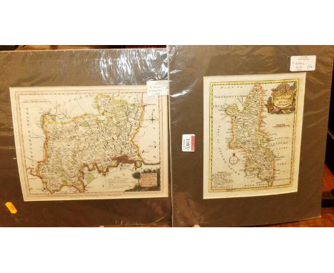
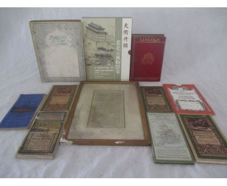
Abbenhall, Abston, Wick & Iron Acton 1791 and Badminton by Bigland 1791, both mounted into later portfolio, approx sheet size 44.5 x 27.5cm approx, together with further maps and prints including a map of Wiltshire engraved for The Encyclopaedia Londinenis 1828, further map of Gloucestershire, etc, together with a portfolio of signed black and white prints of Italian city views after Giovanni Giuliani published by Grafica Zannini and dated 1977, etc (collection) all unframed


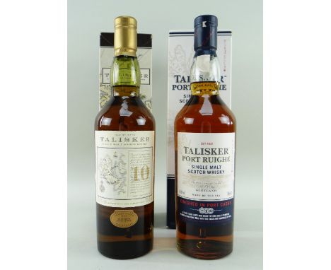
Lot 589
TWO TALISKER DISTILLERY ISLE OF SKYE EXPRESSIONS comprising Talisker single malt scotch whisky aged 10 years map label bottling, 45.8% vol, 70cl in original box, together with Talisker Port Ruighe single malt scotch whisky finished in port casks, 45.8% vol, 70cl in original box (2) Provenance: deceased estate single-owner collection Conwy Comments: both liquid levels lower nexk, labels and boxes good overall with minor wear, thread like sediment in Port Ruighe expression


Lot 41
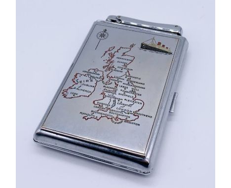
Michelin Map Sign dated 1966Make: Contact AuctioneerModel: Contact AuctioneerYear: 0Mileage: 0VIN: Contact AuctioneerConfiguration: Right Hand DriveRegistration: Contact AucitoneerTransmission: Contact AuctioneerMichelin Map Sign dated 1966 The buyers premium on automobilia items, including registration numbers is 15% plus VAT (18% in total)
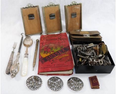
Lot 216
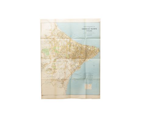
A quantity of miscellaneous items including three silver plated easel back small picture frames, a collection of antique keys, three large silver buttons, 'Crutchely's' folded map of Sussex, a 1924 British Empire leather purse and other items CONDITION REPORT: Please note - Descriptions do not include condition reports. Please contact us to if you require further information or images.PLEASE CONSIDER SHIPPING COSTS BEFORE BIDDING. THE COST OF SHIPPING MAY AFFECT YOUR DECISION TO BID.


Lot 251
John Miller Nicholson (British) (1840-1913) 'Under the "Chasms" Bay Stacka'. Isle of Man, watercolour, signed and dated 1874 and 1887. map to verso inset, sketched by the artist, of the south east of the Isle of Man and indicating exactly where Bay Stacka is situated, also titled to verso. Provenance: with Murray's include Chrystal Auctions. Isle of Man. November 28th 2008


Lot 1069
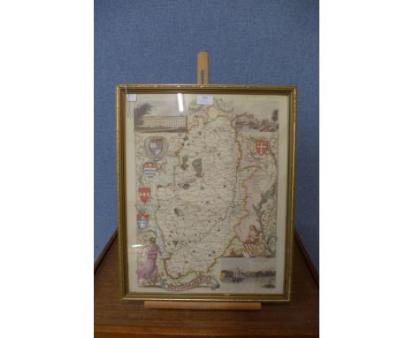
An American Artworks print entitled Yama Yama 27x16cm, after Thomas Kitchen - a new map of the County of Suffolk, engraving, 20x25.5cm ,after John Kirkby - a correct map of Suffolk, engraving, published by I Shave, 32x47cm, and after Richard Blome - engraved county map of Essex, being later hand coloured, 27x33cm (3)


Lot 506
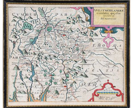
JOHN SPEED 1611 coloured map of 'Anglesey. Anciently called Mona', with inset of Beaumaris, edition by John Sudbury and George Humble, 46 x 55cms Provenance: private collection Cheshire Comments: good example with clear wide margins, paper has aged well, no damage, Hogarth type framed and glazed at rear


-
109198 item(s)/page