We found 109182 price guide item(s) matching your search
There are 109182 lots that match your search criteria. Subscribe now to get instant access to the full price guide service.
Click here to subscribe- List
- Grid
-
109182 item(s)/page


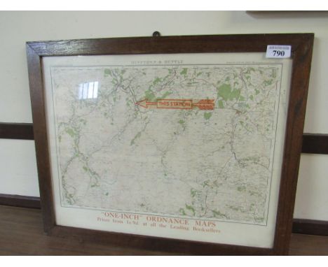
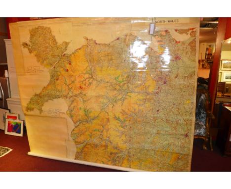
Lot 790
Sale Item: ORDENANCE MAP DUFFTOWN - HUNTLY Vat Status: No Vat Buyers Premium: This lot is subject to a Buyers Premium of 15% + Vat @ 20% Additional Info : Lots purchased online with the-saleroom.com will attract an additional charge for this service in the sum of 3% of the hammer price plus VAT @ 20%


Lot 97
A large framed and engraved Royal commemorative silver plaque, Birmingham Mint, 1981, entitled 'Their Royal Heritage', in commemoration of Prince Charles and Lady Diana's marriage (29th July 1981), showing places with connections to their lives on a map of Great Britain, 11 x 9in. (28 x 23cm.), in a carved oak style frame.

Lot 584
Berry, William, 'The History of the Island of Guernsey', pub. Longman et al, London 1815, 348pp, 29 engraved plates, original half calf with marbled boards, lacks folding map, spine a/f; together with 'The History of Guernsey, with Occasional Notices of Jersey, Alderney and Sark', by Jonathan Duncan, pub. Longman et al, London and Henry Brouard, Guernsey, 1841, half green morocco with green cloth, binding a/f. (2)


Lot 342
CYPRUS SILVER COLOURED METAL CIRCULAR BOWL repoussé with three circular reserves with a map of the island, a castle and Royal eagle cypher, raised on three feet, 7 1/8" (18.09cm) diameter, 830 standard mark and a similar but SMALLER BOWL, 6" (15.2cm) diameter, 800 standard mark, approximately 18 1/2 oz in total (2)


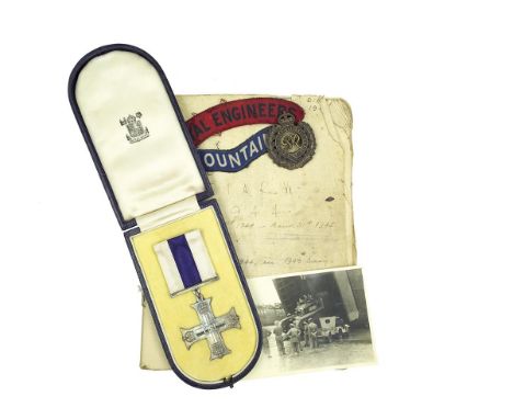
Lot 293
Military cross and archive to Lt S. C. M. Malenoir Vickers 240th Field Company Royal Engineers, comprising cased MC dated 1945, awarded for action at the Marksluis on the Markkanaal, medal ribbons, various rank pips, buttons and insignia to the Royal Engineers to include a set of MOUNTAIN cloth shoulder titles, two MID, lanyard and belt, Contemporarily hand written diaries from 1943 to Sept 1946, type written copies from 1942-46, Maps to include TOP SECRET and dated May 1944 detailing landing beach defences at Bernieres-Sur-Mer and Creully, further map for Ousitreham detailing Ranville and Pegasus Bridge, an envelope marked War Records containing various plans to include loading details for Operations Bigot and Neptune and maps to match, War Office Letters with attached medal ribbons for Defence Medal, 39-45 Star and France and Germany Star, various Regimental Christmas cards, menus and church service sheets. Single line diary detailing casualties, equipment losses, tasks and remarks 8th June 44 to 8th May 45, pay slips, quantity of correspondence to his family, various newspapers, 1944-1984 Markkanaal commemorations material, to include a copy of the Dutch book about "Success Bridge" which mentions Lt Vickers award of the MC for his role in establishing a crossing at the Marksluis. Photographs to cover Normandy Beaches, building of Pont L'Eveque, "Pangbourne" bridge, "Airdrie" bridge, "Success" bridge "Ladbergen" bridge on the Dortmund Ems Canal, "NOPTS" bridge etc and a pair of German binoculars in their case. To also include brother's medals, Rupert John Malenoir-Vickers Radio officer on S.S. Pearlmoor, killed when his ship was torpedoed by the U-62 off the coast of Ireland on the 19th of July 1940, 39-45 Star, Atlantic Star, 39-45 Medal and Victory Medal, in box of issue addressed to Major Vickers (RTD)


Lot 2368
19th century documents relating to Colchester, London and other places - including leases, conveyances, admissions, Probate, mortgage, wills, For Sale by Private Treaty Crown Land Society Ltd., map of Garden Farm Estate West Mersea, Essex showing proposed road and proposed railway station, etc (approximately 73)


-
109182 item(s)/page