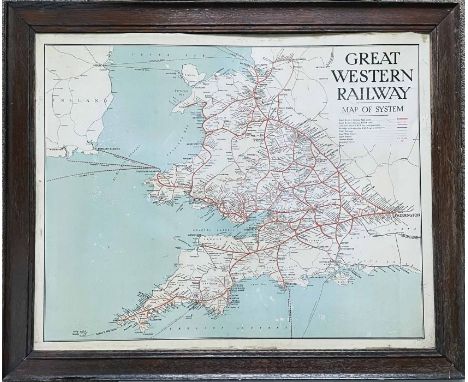

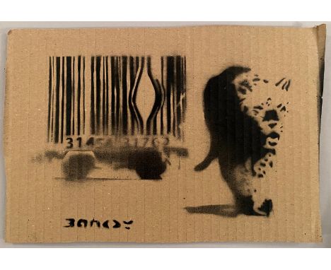
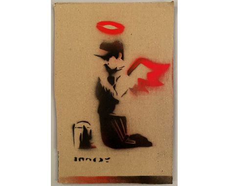
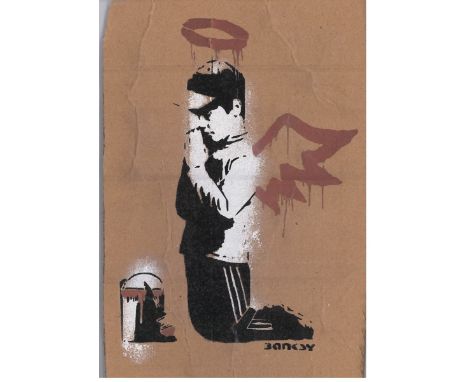
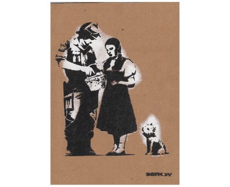
Lot 209
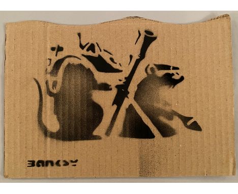
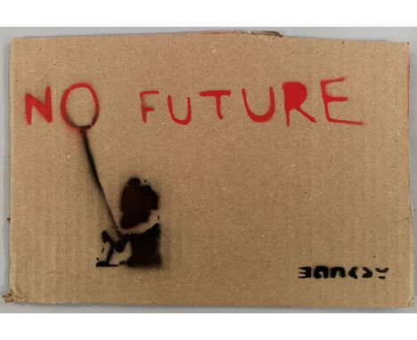
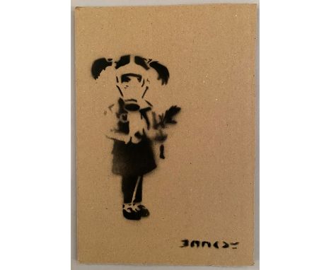
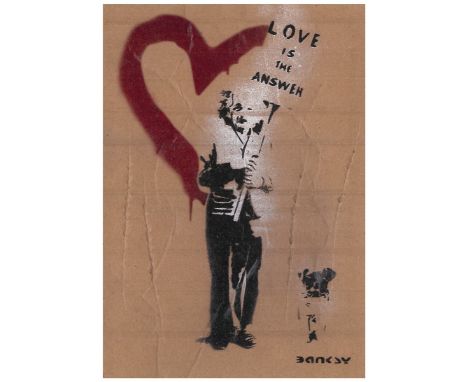
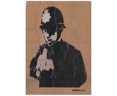
BANKSY DISMALAND BANKSY ORIGINAL DISMALAND Bombe aérosol et pochoir sur carton, signé et numéroté à 50 exemplaires.Art gratuit de la peinture en aérosol au pochoir semé au parc à thème de Banksy "Dismaland" qui s'est tenu pendant deux mois, d'août à septembre 2015. Pendant la période d'exposition, Dismaland a organisé un Art Libre où ils cachent l'œuvre à divers endroits et vous pouvez l'emporter chez vous. (Certains dommages sur le carton en sont la cause.) Livré avec ticket original d’entrée et Map Dismaland. Dimensions 20 x 27,5 cm environ


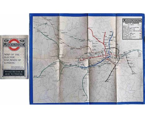

![Large quantity (19) of 1886-1908 London Underground MAPS: The "District Railway" Miniature Map of London [and Environs]. Most](https://cdn.globalauctionplatform.com/e4d756d9-9772-4235-a272-ae420172ca4f/d0aa8785-089a-4c54-bba9-aeaa0154b5c1/468x382.jpg)


![1902 London Underground MAP 'The 'District [Railway] MAP of Greater London & Environs', 1st edition. Shows the first tube](https://cdn.globalauctionplatform.com/e4d756d9-9772-4235-a272-ae420172ca4f/d4de60fb-a5d1-4a76-ad9c-aeaa0154e775/468x382.jpg)


![1907/8 London Underground MAP "The District" [Railway] Map of Greater London & Environs, 2nd edition, dated '07'. Shows t](https://cdn.globalauctionplatform.com/e4d756d9-9772-4235-a272-ae420172ca4f/9208f554-b62a-4304-93c1-aeaa015468c0/468x382.jpg)

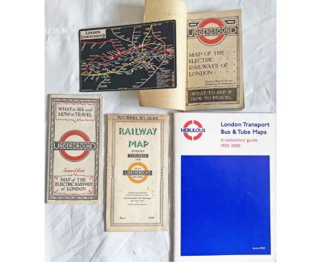
![Large quantity (18) of 1883-1908 London Underground MAPS: The "District Railway" Miniature Map of London [and Environs]. Most](https://cdn.globalauctionplatform.com/e4d756d9-9772-4235-a272-ae420172ca4f/69068371-0d6a-4b5b-8b5c-aead0130b338/468x382.jpg)