We found 109198 price guide item(s) matching your search
There are 109198 lots that match your search criteria. Subscribe now to get instant access to the full price guide service.
Click here to subscribe- List
- Grid
-
109198 item(s)/page


Lot 1330
'A NEW PLAN OF THE CITY AND LIBERTY OF WESTMINSTER, EXHIBITING ALL THE NEW STREETS AND ROADS WITH THE RESIDENCES OF THE PRINCIPAL NOBILITY, PUBLIC OFFICES ETC', a hand coloured map of the city of London, by Thomas Jefferys 1766, 18.5" x 37". Provenance: A note to the reverse, 'Purchased by me from a street vendor on St. Christopher's pavement, in exchange for one 'Luncheon Voucher', value three shillings in 1962'.


Lot 1141
SAXTON, C and LEA, P; a late 17th century map of Essex, with vignette town plan of Colchester lower right, 43 x 54cm, framed and glazed. CONDITION REPORT: 1cm Margin, section to the centre is white to the sides are brown stained a few small creases to edges. Please refer to additional pictures


Lot 1138
SPEEDE, JOHN; a late 17th century and later hand coloured map of Chester, 39 x 51cm, a further 17th century black and white engraving "Collegium Goneville et Cajus Cantb", 36 x 49cm, two coloured etchings "The United States New Mail Ship" and "Adriatic 1857", framed as one and a further signed example depicting street scene, all framed and glazed (4).


Lot 36
China: The Interior Chiefly From Du Halde and The Jesuits 1710-1718, And The Sea Coast From Modern Authorities, [published by Charles Knight & Co., London 1845], steel engraved map, the provinces with coloured borders, the upper-right margin numbered 108 in contemporaneous ink MS., 40cm x 33cm


Lot 415
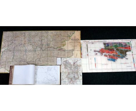
MAP - The Grand Southern Tour of England including a principal part of the East, West and Inland Counties patronised by His Most Gracious Majesty, King George the IV - January 1st, 1821, Second Edition, linen-backed, cased, together with other related items to include, a bound set thirty - mainly linen-backed - Ordnance Survey Maps covering the Bedfordshire area, other items etc


![MAP - BUTLER, Samuel - The Atlas of Modern Geography - London, 1826, with twenty-two maps [as called for], together with anot](https://cdn.globalauctionplatform.com/0bf3d365-7325-4f64-8150-a6c700ec835a/f6cb5c5f-6df8-488c-bd9d-03b57ebc1068/468x382.jpg)
Lot 437
MAP - BUTLER, Samuel - The Atlas of Modern Geography - London, 1826, with twenty-two maps [as called for], together with another un-dated, containing twenty-eight maps [as called for but many loose]; Atlas of Ancient Geography, with twenty-two maps [as called for] and Three maps from Cassell's Old and New London, Part 67 [in two parts]; part 68 and part 69 (4)

Lot 413
Collection of four maps showing the sale of the Quantock Lodge Estate in 1919, the first map shows the sale of the Lodge itself and numbered, Plan No 1; the second map, Plan No. 3, shows the sale of land, in between Whitnell and Pightley; the third map, plan no. 4 shows the sale of land around Spaxton, Pightley and Hawkridge Wood; the fourth map, plan no 7, shows the sale of the Quantock Estate Marshes and includes land in Cannington, Wemdon, Chilton Trinity and Stogursey


![MAP - Philips' Handy Atlas of the Counties of England - undated, new edition, with all maps [as called for]](https://cdn.globalauctionplatform.com/0bf3d365-7325-4f64-8150-a6c700ec835a/779e03d3-f7f9-4989-86a1-0f03b1415c2a/468x382.jpg)


-
109198 item(s)/page