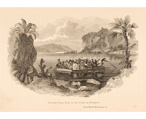
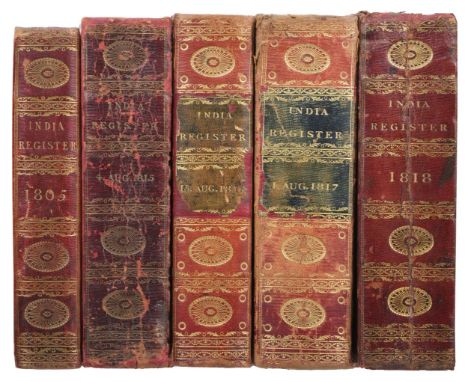
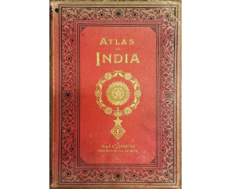
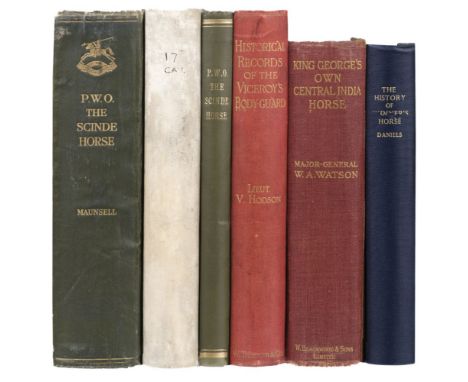
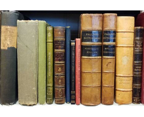
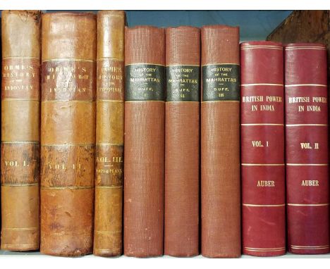
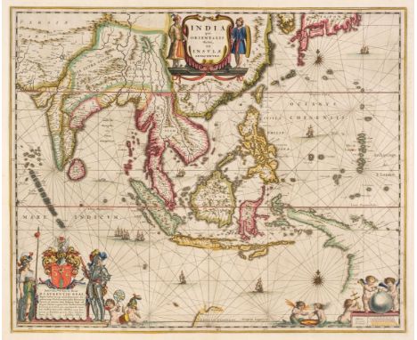
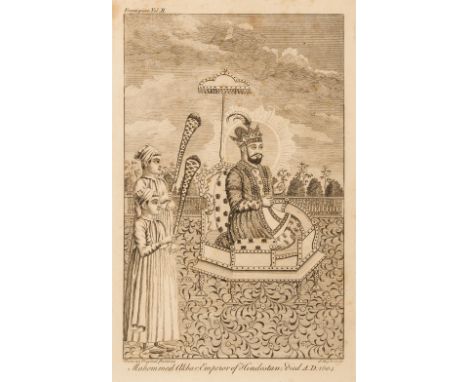
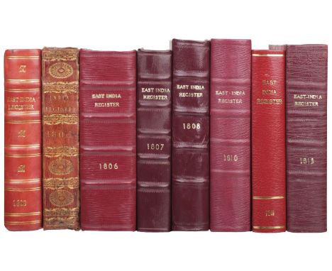
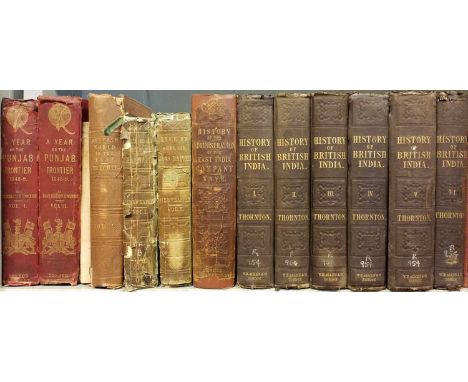
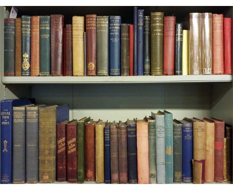
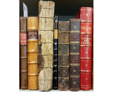
Graham (Maria). Journal of a Residence in India, 1st edition, Edinburgh: printed by George Ramsay for Archibald Constable, 1812, hand-coloured engraved frontispiece, title supplied in photocopied facsimile,15 etched or engraved plates including 2 folding (one folding plate torn to fore-edge margin), some toning, light spotting and offsetting, endpapers renewed, contemporary half calf, modern reback with red morocco title label, 4to, together with: Bernoulli (Jean), Description Historique et Geographique de l'Inde..., volume 1 only (of 3), nouvelle edition, Berlin: Chrétien Sigismond Spener, 1791, engraved folding map, 38 engraved plates and plans (including 20 folding), few marginal notes, some worm trails mostly to upper margins and fore-margins of several leaves mostly at front and rear of volume, some margins frayed, near-contemporary marbled calf, gilt armorial emblem of The Society of Writers to the Signet to centre of each board, modern reback with morocco title label, boards rubbed, 4to, plus other texts, including odd and some defective volumes, including Asiatick Researches: or, Transactions of the Society, instituted in Bengal, for inquiring into the history and antiquities, the arts, sciences and literature, of Asia, volume 1 only, 1788, Narrative of the Siege and Capture of Bhurtpore, in the Province of Agra, Upper Hindoostan, by the Forces under the command of ... Lord Combermere..., by J.N. Creighton, 1830, Histoire Generale des Voyages, ou Nouvelle Collection..., new edition, volume 13 only, 1755, Ferishta's History of Dekkan, from the First Mahummedan Conquests..., by Johnathan Scott, volume 2 only, 1794, and The Journal of Sir Thomas Roe, Embassador ... to Ichan Guire, the Mighty Emperor of India, volume 1 only (incomplete part), [1744]QTY: (7)NOTE:Sold with all faults, not subject to return.

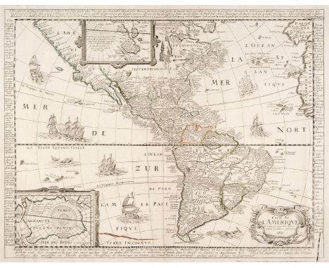
![Americas. Munster (Sebastian), Novae Insulae XXVI Nova Tabula, Basel [1540] but 1552 edition, uncoloured woodblock map, some](https://cdn.globalauctionplatform.com/24239b77-8bdd-442f-84ce-afee00fb6f91/c4c88478-e491-486e-af77-aff0010ffa3d/468x382.jpg)

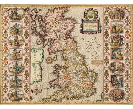
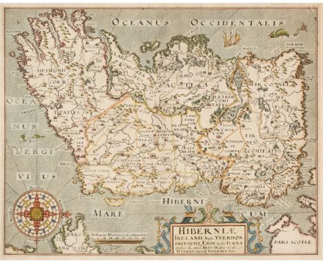
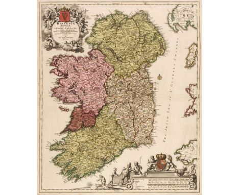
![* British Isles. Ortelius (Abraham), Angliae, Scotiae et Hiberniae sive Britannicar: Insularum Descriptio [1570 or later], ha](https://cdn.globalauctionplatform.com/24239b77-8bdd-442f-84ce-afee00fb6f91/077085a3-3e9b-4d26-a11d-aff0010ffd6d/468x382.jpg)

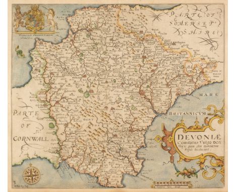
![* Devon. Blaeu (Johannes), Devonia vulgo Devon-Shire, [1645 or later], engraved map with contemporary outline colouring, slig](https://cdn.globalauctionplatform.com/24239b77-8bdd-442f-84ce-afee00fb6f91/1f2035cf-f647-4dd3-b169-aff0011000e6/468x382.jpg)
![Drayton (Michael). Three maps, Cheshire, Derbyshire, Leicestershire & Nottinghamshire [and] Pembroke & Carmarthenshir](https://cdn.globalauctionplatform.com/24239b77-8bdd-442f-84ce-afee00fb6f91/4d6f372d-8d90-41b4-908e-aff00110023e/468x382.jpg)


![London. Virtue (G. publisher), The New Plan of London, from Actual Survey [1836], uncoloured engraved map, old folds, slight](https://cdn.globalauctionplatform.com/24239b77-8bdd-442f-84ce-afee00fb6f91/d4aa7084-0bab-4acc-8b5d-aff001100bba/468x382.jpg)


![Bible [English]. The Holy Bible, containing the Old Testament, and the New: Newly Translated out of the Original Tongues: and](https://cdn.globalauctionplatform.com/24239b77-8bdd-442f-84ce-afee00fb6f91/6f2f1528-7c66-4a30-ab5f-aff001103ced/468x382.jpg)


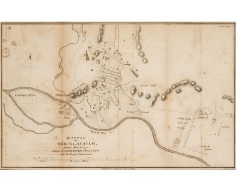
![[Holdsworth, T.W.E., "Carnaticus"]. Summary of the Mahratta and Pindarree Campaign, during 1817, 1818 and 1819, under the dir](https://cdn.globalauctionplatform.com/24239b77-8bdd-442f-84ce-afee00fb6f91/f3f1bdd7-921a-44a9-ba33-aff0010f9c5f/468x382.jpg)