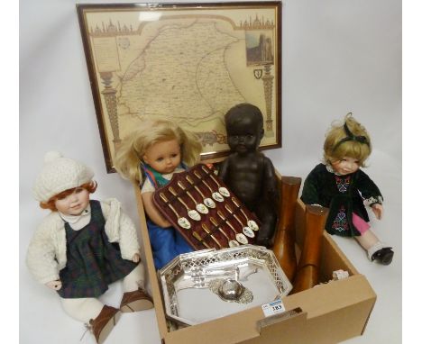
Lot 3
"Souvenir of Scotlands, its Cities, Lakes and Mountains", T Nelson & Sons 1895, chromolithographic plates, two plates to each page, pictorial clothMichelet, Jules"The Insect", ill Giacomelli, Nelson & Sons 1875, green pictorial cloth, front hinge cracked"A Book Map of Finland"Rohan, Michael Scott"The Lord of Middle Air", Victor Gollancz 1994, blue cloth, gilt titles to backstrip printed upside down and three other volumes (7)


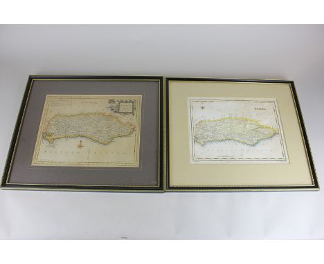
![[TOPOGRAPHY]. TAUNTON (SOMERSET) Toulmin, Joshua. The History of the Town of Taunton, by Norris, Taunton, 1791, half calf (re](https://cdn.globalauctionplatform.com/b7446a99-a148-4430-a676-a66b009a6026/b84a33b1-0c32-418d-da36-5838ec504452/468x382.jpg)


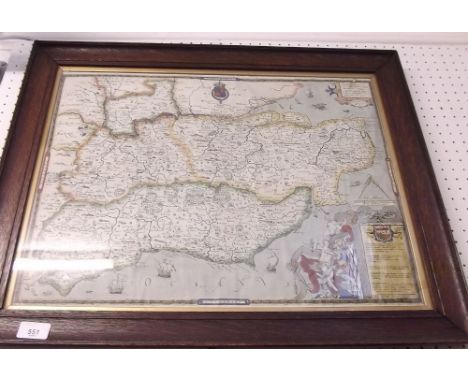
![[TOPOGRAPHY]. DEVON Lysons, Rev. Daniel & Samuel. Magna Britannia; being a concise topographical account of the several count](https://cdn.globalauctionplatform.com/b7446a99-a148-4430-a676-a66b009a6026/1a29dea5-9d60-4d7c-a3dd-4a046ca042d0/468x382.jpg)
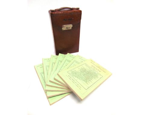
![[TOPOGRAPHY]. IRELAND The Post Chaise Companion: or Traveller's Directory Through Ireland, containing a new & accurate descri](https://cdn.globalauctionplatform.com/b7446a99-a148-4430-a676-a66b009a6026/e5f2cf7c-b6ee-408b-9f8b-68ddf1b7caa7/468x382.jpg)