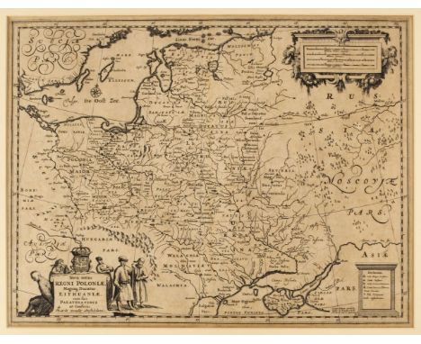
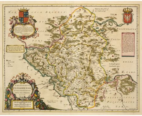
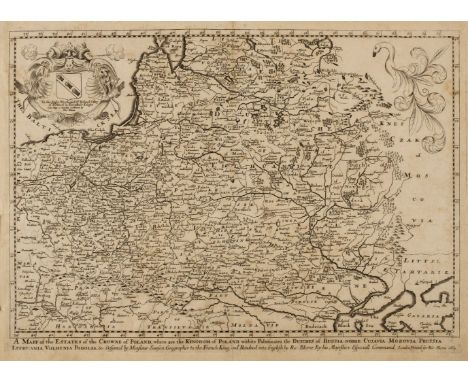
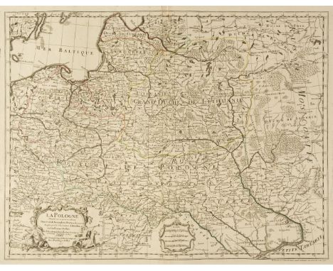
Poland. Zatta (Antonio), Il Regno di Polonia con le Provincie ora possedute dalle Tre confinati potenze Prussia Russia e Casa d'Austria, published Venice, circa 1780, engraved map with contemporary outline colouring, slight marginal staining, old folds, 240 x 325 mm, together with Kitchin (Thomas). A Map of the Kingdom of Poland drawn from the best authorities, [1762], hand coloured engraved map, 225 x 260 mm, with Weigel (C., publisher). Regnum Poloniae ejusque consinis, Nuremberg, circa 1770, engraved map with contemporary outline colouring, originally published in the 'Atlas Portif', 140 x 175 mm, plus Salmon (Thomas). Regno di Polonia e suoi Confini, circa 1760, uncoloured engraved map, old folds, slight overall toning, 145 x 215 mm, and Zempel (Giovanni, publisher). Polonia Secondo le Osservazioni dell' Accademia di Parigi, published Rome, circa 1770, uncoloured engraved map with pronounced reticulation, small margins, 145 x 185 mm and Cary (John). Poland shewing the claims of Austria, Russia & Prussia, published J. Feelding & J. Seally, circa 1790, uncoloured engraved map, very slight staining, 200 x 285 mm, together with Nolin (J. B.). Etats de la Couronne de Pologne..., Paris, [1783], engraved map with contemporary outline colouring, some marginal worming but not affecting image, 210 x 270 mm, with De Pretot (Etienne-Andre Phillipe). Carte Nouvelle de la Pologne avant son Démenbrement dirigée par Mr Philippe..., Paris, circa 1787, uncoloured engraved map, 285 x 410 mm, plus Kitchin (Thomas). Poland, Lithuania and Prussia, [1782], hand coloured engraved map, 175 x 210 mm, and Brion de la Tour (Louis). Etats de Pologne et de Lithuanie divisés par Palatinats e Provinces Ecclésiastiques. Avec le Royaume de Prusse et le Duche de Curlande..., [1790], engraved map with contemporary outline colouring, slight creasing, 235 x 260 mm (Qty: 10)


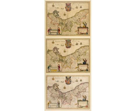


![* Prussia. Munster (Sebastian), Von dem Preussen Landt, [1550 and later], together four woodblock maps of Prussia, one with c](https://cdn.globalauctionplatform.com/001257aa-d93a-45da-88a3-abd500ca3cc0/aa02d693-be90-4515-b470-abd600c6977e/468x382.jpg)
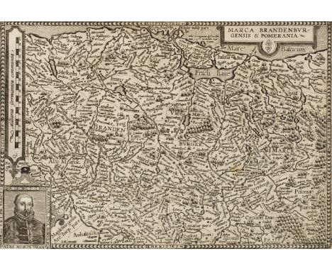
![Prussia. Schleuen (Johann David). General-Carte der Gesamten Königlichen Preussischen Lander, Berlin, [circa 1750], hand-colo](https://cdn.globalauctionplatform.com/001257aa-d93a-45da-88a3-abd500ca3cc0/6a1c96ba-51ea-4ace-ac3b-abd600c69a21/468x382.jpg)


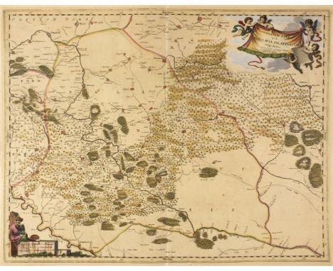
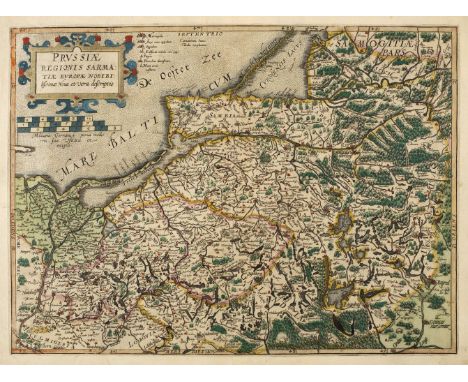
![Silesia/Poland . De Jode (Gerard), Silesia Ducatus Typice descriptus per [and] Ductaus Oswieczime et Zatoriesis descriptio, A](https://cdn.globalauctionplatform.com/001257aa-d93a-45da-88a3-abd500ca3cc0/61beb9f6-29b5-45bc-9f1e-abd600c6a340/468x382.jpg)