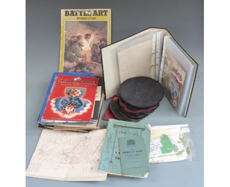
Dominic Winter Auctions
Lot 92
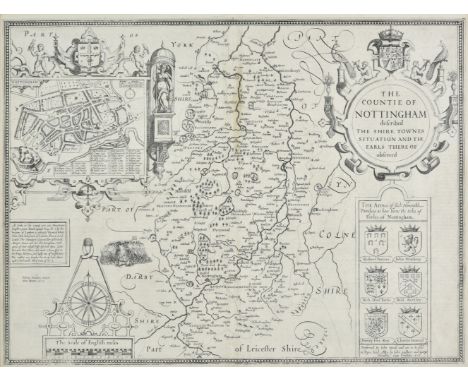
Pigot (James). A collection of thirty-six maps, Pigot & Co., 1828 [and later], engraved British county maps with contemporary hand colouring, including two folding (England & Wales and Wales), some marginal dust soiling, map of Wales with light overall toning, occasional duplicates, each approximately 375 x 240 mm, bound in publisher's printed paper wrappers (Qty: 36)NOTESContains the following maps:- England & Wales, Wales, Bedfordshire, Berkshire, Buckinghamshire, Cambridge, Cornwall, Devon, Gloucestershire, Hampshire, Herefordshire (2), Huntingdonshire, Monmouthshire (2), Norfolk, Northamptonshire, Oxfordshire, Somerset, Suffolk, Wiltshire, Derbyshire, Leicestershire & Rutland, Lincolnshire, Nottinghamshire, Shropshire, Staffordshire, Warwickshire, Worcestershire, Cheshire, Cumberland, Durham, Lancashire, Northumberland, Westmorland and Yorkshire,


![* Northamptonshire. Speed (John), Northamptonshire, 1st edition, published George Humble [1611], uncoloured engraved map, ins](https://cdn.globalauctionplatform.com/4ed434fc-96bc-4961-9100-aaef00bec11d/feed3132-891c-473d-a63f-aaf1010eef76/468x382.jpg)
![* Northumberland. Speed (John), Northumberland, 1st edition, published John Sudbury & George Humble, [1611], uncoloured e](https://cdn.globalauctionplatform.com/4ed434fc-96bc-4961-9100-aaef00bec11d/5f75b518-1d9c-4ed7-b4dd-aaf1010ef001/468x382.jpg)


![Pigot (James). A collection of thirty-six maps, Pigot & Co., 1828 [and later], engraved British county maps with contempo](https://cdn.globalauctionplatform.com/4ed434fc-96bc-4961-9100-aaef00bec11d/bc28b98d-e8a5-42ac-aaad-aaf1010ef33f/468x382.jpg)
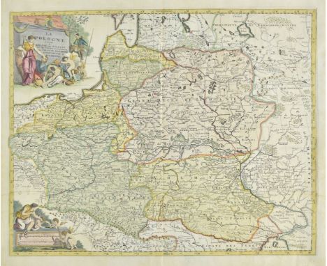
![* Poland & Pomerania. Lubben (Eilhard), Nova Illustrissimi Principatus Pomeraniae Descriptio, Amsterdam, 1618 [but 1757],](https://cdn.globalauctionplatform.com/4ed434fc-96bc-4961-9100-aaef00bec11d/e26d8401-221c-4089-a5b1-aaf1010ef469/468x382.jpg)


![A MAP OF ARMENIA FROM ACHKHARHAKROUTIOUN HAYASDAN [HISTORICAL ATLAS OF ARMENIA] BY H. K. BABESSIAN (ARMENIAN 19TH CENTURY), 1](https://cdn.globalauctionplatform.com/7df23fe9-55f7-409b-aaa8-aae8013e3534/2ab8257d-18bd-43b0-9195-aae80153a033/468x382.jpg)


