We found 118277 price guide item(s) matching your search
There are 118277 lots that match your search criteria. Subscribe now to get instant access to the full price guide service.
Click here to subscribe- List
- Grid
-
118277 item(s)/page

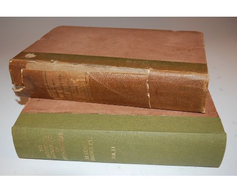
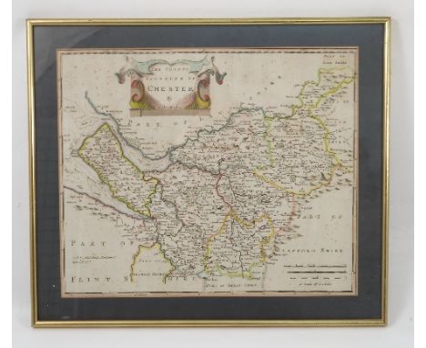
Lot 386
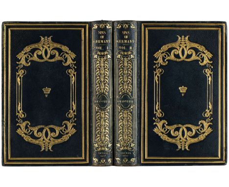
TWO BOOKS FROM THE LIBRARY OF WINDSOR PALACE FEATURING DESCRIPTIONS OF THE SPAS OF GERMANY, 1837GRANVILLE, Augustus Bozzi (Italian 1783-1872), THE SPAS OF GERMANY London: Henry Colburn, 1837. 8vo (220 x 145 mm) both volumes. Volume I: 408 pages, including a foldout map of German mineral springs (420 x 420 mm); Volume II: 538 pages, including a foldout table of listing of the chemical composition of the waters of German mineral springs (390 x 390 mm). Both volumes contain a woodcut illustrations on a title page, as well as number of etchings illustrating the views of the spas and duo chrome maps of the areas. Gilded and embossed full Morocco bindings decorated with double frame, scrolling vines and a crowned V on each side. Intricate embossed gilt titles and decorations on spines. All edges gilt. Moire endpapers.PROVENANCEFrom the library of Windsor Palace. Both volumes bear the bookplates on endpapers with the letters V R [Victoria Regina]
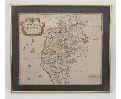
Lot 257
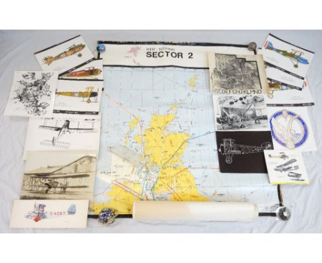
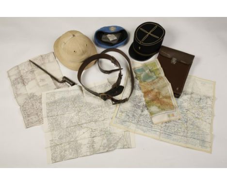
AERONAUTICAL INTEREST including photographic reproductions of biplanes, aerial photographs of Mount Everest, the insignia crest of the Royal Aeronautical Society, calendar prints of a 1918 Handley Page, two of a 1917 Sopwith Camel, 1917 S.E.5, 1917 SPAD S.13, 1917 Avro 504K and a 1919 Albatros D.V, a detailed map from the National Air Traffic Service of the West Scottish Sector 2 flying routes and four Ordnance Survey maps of Ayrshire
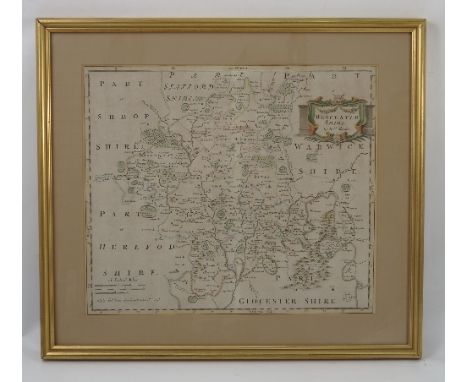
Lot 245
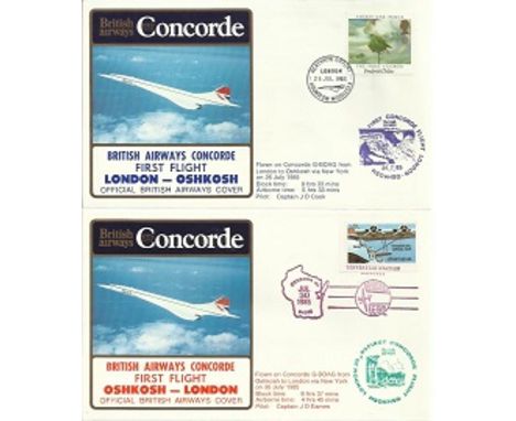
Concorde flown cover. Concorde first flight London – Oshkosh, 30th July 1985. Flown by Capt J D Eames. Unusual Oshkosh map postmark and green flight cachet. Heathrow receiving stamp to reverse and flight detail card inside. Good condition. All signed items come with a Certificate of Authenticity and can be shipped worldwide. Est
Lot 741
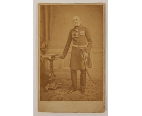
BATTLE OF ALGIERS, A HAND DRAWN BATTLE MAP OF ALGIERS SIEGE, 1816, former property of Rear Admiral Sir Frederick Thomas Michell, 1785-1873, with photographs of the Admiral and his personal Victorian business card with red wax seal. In 1816 Admiral Mitchell was made a commander and led the battering flotilla attached to the squadron of Admiral Edward Pellew at the Battle of Algiers.
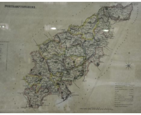
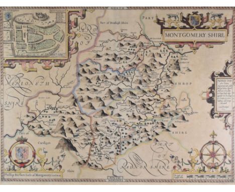
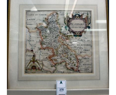
Lot 297
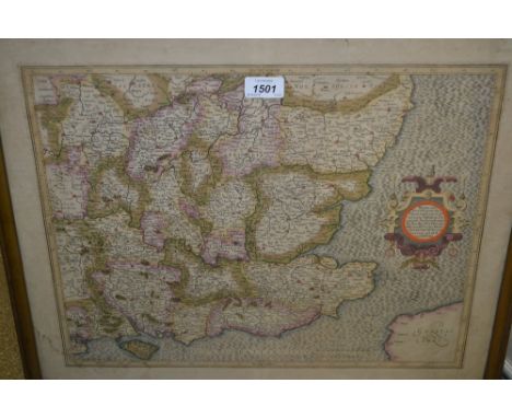
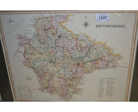
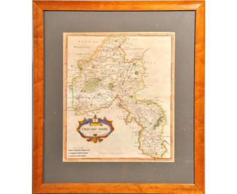
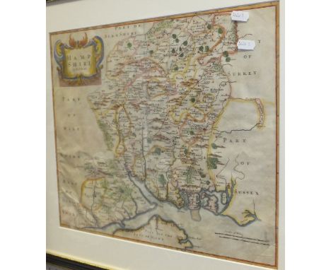
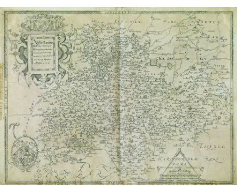
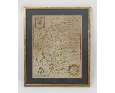
Christopher Saxton - Antique engraved map - Northamptonshire and adjacent counties, dated 1576, having a plain back and with central vertical fold, 39.5cm x 52.5cm Condition: The map does not appear to be laid down anywhere other than the corners although we cannot tell 100% if this is the case, the map maybe trimmed but thee are clear margins on all four sides - **General condition consistent with age

-
118277 item(s)/page