We found 109182 price guide item(s) matching your search
There are 109182 lots that match your search criteria. Subscribe now to get instant access to the full price guide service.
Click here to subscribe- List
- Grid
-
109182 item(s)/page


Lot 1373
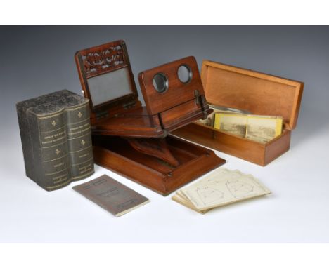
A Victorian mahogany cased stereoscopic viewer, the box opening to reveal an extra viewer on a ratchet system, 15¾in. (40cm.) long, together with a simulated book box containing 'AROUND THE WORLD' stereo cards, vol 1 & II by Underwood & Underwood, comes with accompanying booklet with original map; a set of cards by the same publisher 'SOLID GEOMETRY' with booklet and various other cards.


Lot 366
WW1 Royal Flying Corps Aviators Flying Coat, good example of the full length brown leather aviators flying coat with large observers map pocket to the chest, thick waist belt and blanket lined interior. Jacket has been fitted with a reproduction Royal Flying Corps pilots wing. Some wear and cracking to the leather. Measurements as follows, Shoulder Seams 18", Pit to Pit 21", Neckline to Hem 48" and Shoulder Seam to Cuff 26".


Lot 894
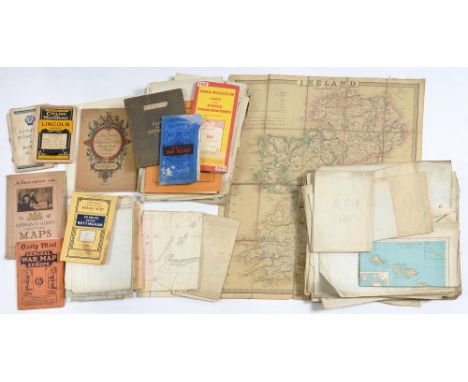
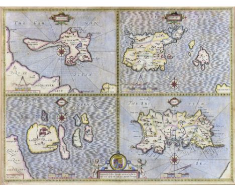
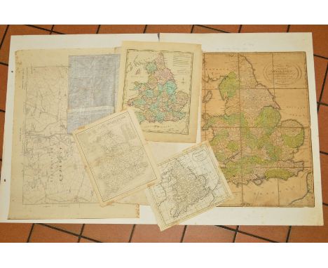
A LATE 18TH CENTURY FOLDED MAP BY J. MENZIES, 'A Correct Map of England With all The Principal and Cross Roads', published by Thomas Brown, Edinburgh 1792, paper backed on coarse linen, 51cm x 45cm, together with Bacon's Cycling Road Map of England and Wales, sheet No.2, printed on linen, 63cm x 85cm, a mid 18th Century Nicolao Sanson hand coloured map 'Britannicae Insulae', 52cm x 61cm and other unframed maps of the British Isles, etc (7)


Lot 1145
5x GWR etc related publications. Including; a GWR timetable for April & May 1892 which includes a note on the title page to the effect that services will be disrupted due to the alteration of lines from broad gauge to standard gauge. Plus another timetable for January to April 1896. An album of approx 40 contemporary photographs of GWR broad and standard gauge locomotives. Many photos believed to have been taken at Taunton/Exeter with details of images listed on a spreadsheet. An 1881 Airey's Railway Map of England and Wales. Plus another earlier station map published by Smith & Ebbs (covers missing). AF-GC, spines and some leaves detached to all. £40-60

Lot 465
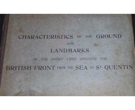
WWI/Militaria: A scarce volume, F.S. Publication 36. Characteristics of the Ground and Landmarks in the Enemy Lines Opposite the British Front from the Sea to St.Quentin, prepared by The Branch Intelligence Section, General Headquarters Wing, Royal Air Force, 1918, 78pgs, mostly aerial photographs, maps (one part coloured), plans (some coloured) one folded map inside back cover, original blue boards, 36cm x 43cm, some foxing, together with two copies of an original photograph mounted into folding card found inside the volume and inscribed "Way to look at a Photograph", "Wrong Way ^ Direction of Light" etc...The preface notes that the volume had been prepared by the Branch Intelligence Section, G.H.Q Wing, R.A.F with the object of "enabling pilots and observers to know their ground before they see it"


Lot 7468
Canadian Pacific printed ephemera including SS Empress of Britain launch brochure, invitation to 1955 launch of same, where HM Queen Elizabeth II will name and launch her; route map, menus, black and white photos including the Queen; printed ephemera for SS Empress of England including 1956 launch invitations, programmes, etc; small album of postcards Ships of the Royal Navy.


-
109182 item(s)/page