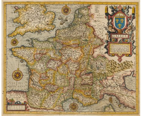

Lot 25
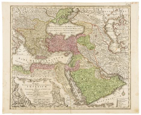
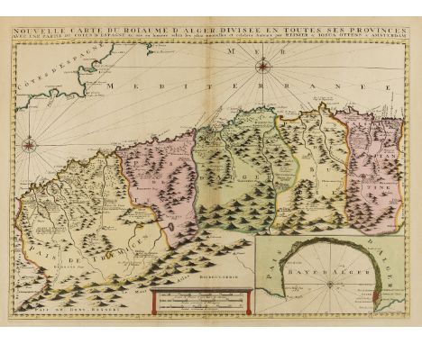
Arabian Peninsula.- Lotter (Tobias Conrad) Magni Turcarum Dominatoris Imperium per Europam, Asiam, et Africam ..., map of the Eastern Mediterranean and Middle East, engraving with hand-colouring on laid paper with large indistinct watermark device, platemark 505 x 590 mm. (19 3/4 x 23 1/4 in), sheet 535 x 660 mm. (21 x 26 in), central vertical fold reinforced verso, some small wormhole damage in lower sections, minor surface dirt, ink inscription '#86' upper right, unframed, [circa 1730].

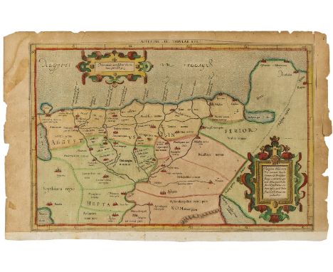
![France.- Waldseemüller (Martin) [Lotharingia], early Ptolemaic map of the Duchy of Lorraine, woodcut printed in colours and f](https://cdn.globalauctionplatform.com/b079d8b6-c9f1-44ba-a4d1-a96600ab5dd9/ec59c53b-779e-4926-9dc0-ea482e5db8b3/468x382.jpg)