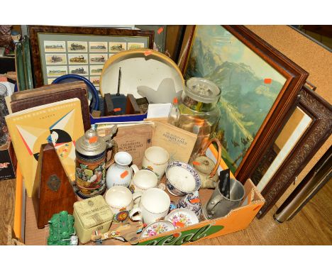

Lot 58
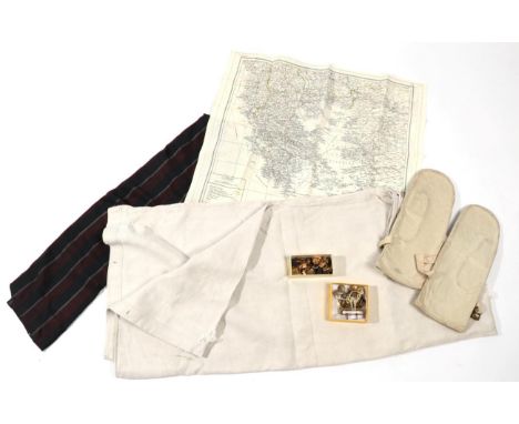
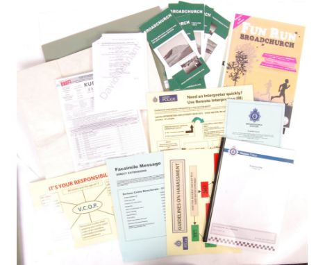
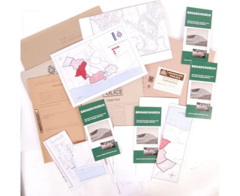
Broadchurch: A great collection of original props & set dressing items from ITV's ' Broadchurch ' starring David Tennant & Olivia Coleman. Largely appearing to be from the final series, the props include; a large fold-out map, x5 ' Visit Broadchurch ' pamphlets, various ' Wessex Police ' posters, an ' Operation Hillindon ' Wessex Police file with various maps and photographs included, a call sheet dated 28th September 2016, and a copy of page from David Tennant's shooting script, and other items. Interesting collection


![India.- [Orme (Robert)] Historical fragments of the Mogul empire. Of the Morattoes, and of the English concerns, in Indostan,](https://cdn.globalauctionplatform.com/9ed714ba-ffd4-48f0-9431-aa5700c2085c/a7a34980-89cc-44d6-b014-aa5700edea68/468x382.jpg)
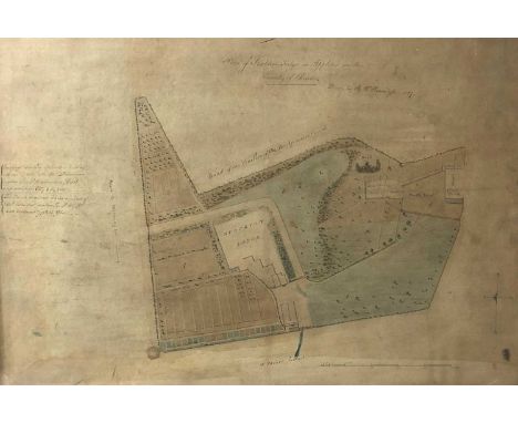
![Derbyshire.- Newlands Farm, manuscript estate map, on vellum, folds, yellowed and soiled, 410 x 340mm., [c. 1820].⁂ Newlands](https://cdn.globalauctionplatform.com/9ed714ba-ffd4-48f0-9431-aa5700c2085c/a814592a-535d-4137-9947-aa5700edc48f/468x382.jpg)