Bamfords Auctioneers & Valuers
Lot 3570
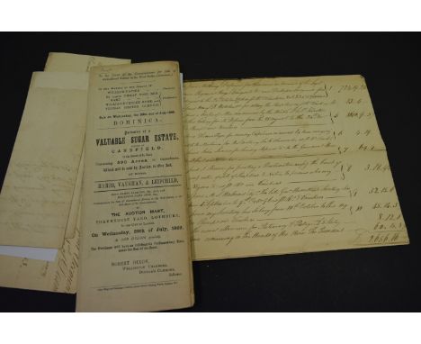
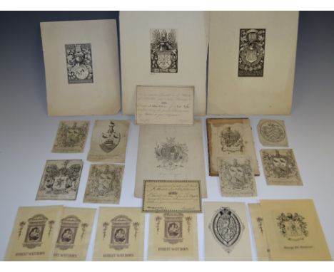
Ephemera - an unusual and scarce tenant's shooting card pass, inscribed To my respective Tenants in the Wards of Allerdale above & below Derwent [...] Permit Mr William Dickinson of M*fa** to Sport during the present Season overy my Estate in your occupation, ['signed'] Lonsdale [William Lowther (1757-1844, 1st earl of] Whitehaven Castle [Cumbria] 1st Augst. 1831, printed on card, 7.5cm x 11.4cm; another for the 1834 season, with a map of the Preserved Grounds and estate to verso, 9.1cm x 13.5cm; Bookplates/Ex-Libris, including Jacobean armorial for William Morgan [?], Chippendale armorial for Henry Dayrell Esqr., applied to a calf book board, Chippendale armorial for Charles Grave Hudfon (sic), Esqr [Hudson FRS (1730-1813), bn. Tunis, 1st baronet, owner of Wanlip Hall, former director of the South Sea Company and one-time High Sheriff of Leicestershire], corresponding duplicates (3), a later spade shield armorial, for preceding owner, festoon and wreath armorial for F. Fortescue Survile, spade shield armorial for Wm. Bedford, others, including plain armorial, John Seargant Cyprian Bridge, Percival L. Murray, George Jas. Geausant, Henry Chapman, his great-grandson the New Zealand judge Frederick Revans Chapman, 20th century pictorials for Robert Watchorn MCMXV [1915] (5), Antoine Conte de la Roche, Arthur Charles Fox-Davies (restrikes, 2), George Townsend, book labels Sparkenhoe Hundred [...] Nichols (2), etched bookplate designs by George William Eve (1855-1914) 1903 for George James Lind and Sir Francis Reginald Wingate K.C.B., etched with monogram and dated 1903, signed in pencil, another for Sir John Nicholson Barran, Bt [26]; etc


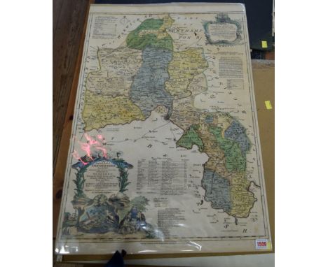


![John Speed (1552-1629), a two-page map, The Countie (sic) of Nottingham [...], from The Theatre of the Empire of Great Britai](https://cdn.globalauctionplatform.com/83a98df0-70d8-49aa-a40c-a6be00c4b6ae/27981478-2739-4250-ed42-2ce47e9d4364/468x382.jpg)


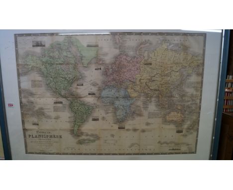
![Herman Moll (c.1654-1732), Derby Shire (sic), from Set of Fifty New and Correct Maps of England and Wales, [London 1724], the](https://cdn.globalauctionplatform.com/83a98df0-70d8-49aa-a40c-a6be00c4b6ae/d836c650-44e4-4aaf-ade2-4991aee54c3d/468x382.jpg)
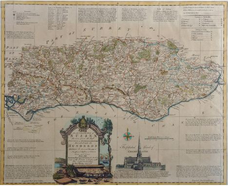
![John Cary (C.1754-1835), A Map of Cheshire from the beft (sic) Authorities, Published by John Stockdale, [London] 1805, three](https://cdn.globalauctionplatform.com/83a98df0-70d8-49aa-a40c-a6be00c4b6ae/139ec5ff-f2dc-4267-ba52-da7ac791c19a/468x382.jpg)
