We found 109182 price guide item(s) matching your search

Refine your search

Year

Filter by Price Range
  • List
  • Grid
  • 109182 item(s)
    /page

Lot 909

John Speed (1552-1629)/The Countie Pallatine of Lancaster/described and divided into hundreds, dated 1610/hand coloured engraved map, 39cm x 51.5cm/see illustration

Lot 910

John Speed (1552-1629)/Glamorganshyre/with the situations of the chief Townes Cardyff and ancient Landaffe described, 1646 edition/text on reverse/coloured engraved map, 40.25cm x 63cm/see illustration

Lot 900

John Speed (1552-1629)/County map of Gloucestershire/hand coloured map (first printed in 1610), 39cm x 51cm

Lot 912

John Blaeu (1596-1673)/Oxonium Comitatus, Vulgo Oxfordshire/text on reverse/coloured engraved map, circa 1645 39cm x 51cm/see illustration

Lot 905

Saxton (Christopher) and Lea (Philip) Comberland and Westmorland, exactly described by CS, corrected and amended with many additions by P Lea/colour engraved map, 38.5cm x 47.5cm

Lot 908

Christopher Saxton (1540-1610)/Oxfordshire, Berkshire and Buckinghamshire/coloured engraved map, 39.5cm x 46cm

Lot 592

Walker (J & C) Hobson's Fox Hunting Atlas containing separate maps of Every County in England and The Three Ridings of Yorkshire, comprising forty-two double page hand coloured outlines and with prints stamped in blue each map numbered, contemporary red half-morocco/see illustration

Lot 911

John Speed (1552-1629)/Oxfordshire/described with ye Citie and Armes of the Colledges of ye famous University 1605/text on reverse/coloured engraved map, 39cm x 52cm

Lot 923

Johannes Blaeu (1650-1712)/Glocestria Ducatus Vulgo Glocestershire/engraved map, 45cm x 56cm (unframed)

Lot 918

Girolamo Ruscelli/Tabula Europae/colour engraved map with text on reverse, 19.5cm x 26cm

Lot 901

Johannes Blaeu (1650-1712)/Glocestria Ducatus Vulgo Glocester/hand coloured map, 41cm x 50cm

Lot 926

Isaac Taylor/Map of the County of Gloucestershire/with engravings of Berkeley, St Briavels, Beveston, Sudeley and Thornbury castles and vignette bottom right inscribing dedication, Ross March 10th 1777/hand coloured engraved map in six numbered sheets, each 54cm x 71.5cm/see illustration

Lot 919

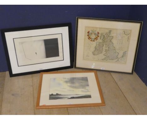
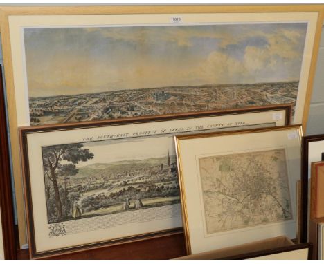
Christopher Saxton (1540-1610), Glamorgan Comitatus Australis Cambrige pars descriptio Ano Dni 1578, the margin with annotation in ink, colour engraved map, 41cm x 56cm CONDITION REPORT: Good condition although map with signs of damp as it is quite badly wrinkled in places. Contemporary annotations in ink to the margins. Titled cartographer faded and with stain to left hand base margin.
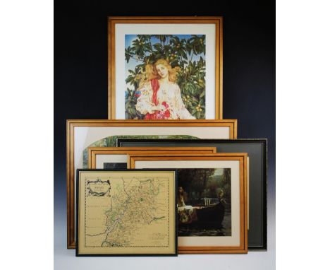
Lot 907

John Speed (1552-1629)/Northumberland/with descriptive text on reverse/hand coloured engraved map, 39cm x 46cm

Lot 915

Christopher Saxton (1540-1610)/Warwici Countatus Cornaviis Olim Inhabitus/first edition 1607, text on reverse/coloured engraved map, 28.5cm x 30.5cm

Lot 346

A Wall Hanging Map Ordnance Survey of Great Britain Quarter Inch (Fifth Series) Special Sheet, "Wales and the Marche"' 54.5cm Wide

Lot 429

A Modern Circular Reproduction Wall Clock, Decorated with Map of the World, 47cm Diameter

Lot 442

A Framed Reproduction Map of Stafford County and Town, 43cm Wide

Lot 402A

A Jon Hebner large framed coloured map of the Grand Southern Tour of England, a principal part of east, west and inland counties, 101cm x 179cm

Lot 392

After David Gee, Spaniel, signed, etching, 11cm x 15cm; other prints, mostly of dogs, framed flies and reproduction map.

Lot 578

3 Pictures to include map of UK, watercolour of water side landscape & modern conceptual print signed lower right

Lot 333

19th Century French linen backed large folding map of Europe by D' Artari and Campagnea Sienne

Lot 189

AN ANTIQUE HAND COLOURED FRENCH MAP OF THE SOUTH WEST OF THE UNITED KINGDOM by Sanson of Paris, the plate mark measuring 37cm x 54cm

Lot 61

An Oriental brass panel, repousse decorated with a map of a town with temples and gardens, framed, 59 x 59cm

Lot 362

AFTER BLAEU'S MAP OF GLOUSTERSHIRE, 1648, published in the fourth volume of Counties of England and Wales atlas, 40cm x 50cm, framed and glazed.

Lot 2064

A quantity of Prints including a Norman Carstin 'Newlyn', street scene after Andre Picot, reproduction map of Devon, etc.

Lot 2170

Four framed Prints of woodland landscape by Vernon Ward, map of Herefordshire, a Margaret Tarrant print of fairies and 'The Gables, Kilpeck (16th c. House) by E.R. Bundy

Lot 8

A printed tin Michelin road map, 86 x 72 cm.

Lot 181

Canvas Denoyer Geppert co of Chicago Physical and Political Map of the USA

Lot 393C

A Collection of old maps and old scope to include Pearsons Touring Map, W & AK Johnston's Fife road map, Scottish maps, AFS Grant R.N, Heath & Co Ltd, London scope. Together with a SCI Astro Disk

Lot 575D

Antique map of fife, together with three old prints by Rembrandt

Lot 1075

Assorted items including sewing related items, postcards, map, etc. **PLEASE NOTE THIS LOT IS NOT ELIGIBLE FOR POSTING AND PACKING**

Lot 1870

A tray of paperweights including Jeremy Fisher, Beatrix Potter, map, two green bubble candle holders, Brunel Suspension Bridge, blue/pink paperweights etc.

Lot 371

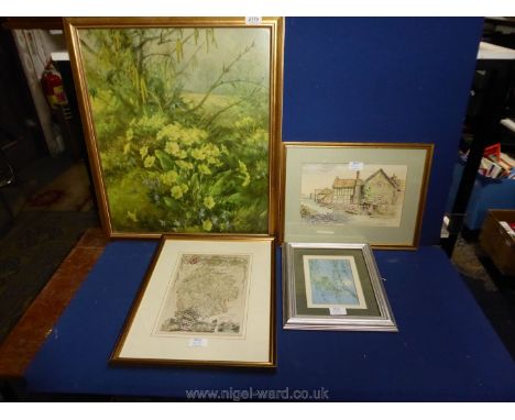
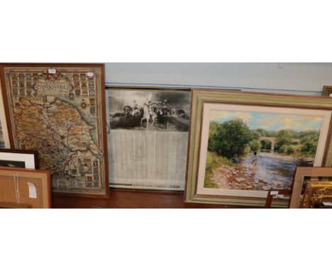
An early 20th century fire screen, with hand sewn flora and fauna design, to an oak surround, glazed, 67.5cm high, with a hand colour map of Gloucestershire after Robert Morden, four prints after Pre-raphaelite artists, to include Millais, Waterhouse etc and a limited edition print of Gloucester Cathedral (7)
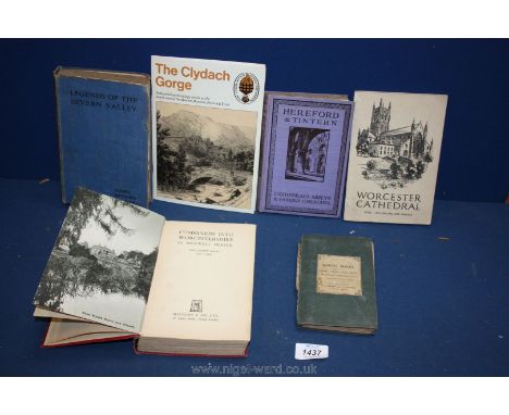
Lot 1049

A collection of Foden Commercial Vehicle Ephemera: Sourced from a Company Master Engineer to include - Foden memorabilia merchandise and equipment including mugs, glasses, tie, penknives, hats, ruler, matches, map, tape measure, notebooks, 9 enamel badges, keyring etc.

Lot 1066

A small map of Monmouthshire. 30mm x 23mm.

Lot 1400

A quantity of Rackham prints, first day covers and a map of Stonehenge.

Lot 1437

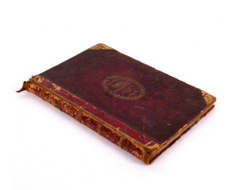
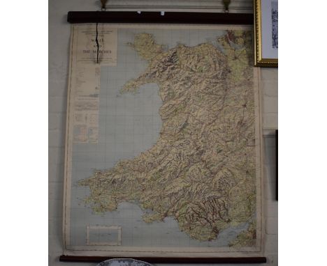
A quantity of local interest books to include 'Legends of The Severn Valley' by Alfred Rowberry Williams, Hereford & Tintern Cathedrals, Abbeys and famous Churches, Worcester Cathedral, 'Companion into Worcestershire' by Maxwell Fraser, The Clydach Gorge and a pocket map of North Wales by G.F. Cruchley.

Lot 1510

A rolled Map of West Central Counties of England by Alexander Gross FRGS

Lot 448

*Framed & glazed Edward Halstead Map "The Hundred of Codsheath" featuring Sevenoak, Chevening, Kemsingb Shoreham, Halstead with later hand colouring, frame approx 66.5 x 57.5cm ***Please note that VAT is applicable to the hammer price of this lot***

Lot 1015

Engraved and hand coloured map of Asia, after Blaeu, 42x57cm

Lot 1031

Robert Morden - engraved county map of Suffolk being later hand coloured 38x42cm, and one other of Norfolk (2)

Lot 1045

After John Speed - reproduction sepia stained county map of Hertfordshire, together with an Edwardian sepia watercolour and print advertising the musical arrangements by BRO. Harry Barnard (2)

Lot 1052

Assorted pictures and prints to include mixed media fairy study, county map of Lincolnshire, still life pastel etc

Lot 1083

A WWII Ordnance Survey map of East Anglia, showing the air bases, as published by The War Office 1943, the full sheet 85x63cm

Lot 257

Central Forest of Dean Railway cast iron mile post marked C.F.D.R. 2 1/2 (MILES) ex Blakeney. Comes complete with a photograph of it in situ and original British Railways receipt dated 25-7-1969 and a copy of a map showing its location. Stands 70in tall. NOTE due to the size and weight (2 man lift) this sign will not be on view at the auction and will have to be collected by the successful purchaser from our Evesham office and will be available from 6.30pm on the day of the auction.

Lot 59

British Railways Southern Region general system mirror map. Depicts the whole of the system and the sea crossings. In excellent condition complete with frame. Measures 26in x 10.5in.

Lot 600

Motoring bus tinplate sign TAKE THE COACH ROADS OF BRITAIN WITH NATIONAL EXPRESS. A map of England, Scotland and Wales with the bus routes on. Measures 20.5in x 31.5in and is in very good condition.

Lot 1326

JOHN SPEED (1552-1629), MAP OF HEREFORDSHIRE, hand coloured,published by Bassett and Chiswell, double sided with text verso, 39cm x 52cm Mounted, framed and under glass

Lot 1327

JOHN SPEED (1552-1629), MAP OF LEICESTER, hand coloured, published by Sudbury and Humble, 1610, double sided with text verso, 39cm x 52cm Mounted, framed and under glass

Lot 1328

JOHN SPEED (1552-1629), MAP OF NORFOLK, hand coloured, published by Basett and Chiswell, double sided with text verso, 39cm x 52cm Mounted, framed and under glass

Lot 1329

JOHN SPEED (1552-1629), MAP OF THE ISLE OF MAN, hand coloured, sold by Henry Overton, Newgate, London, 39cm x 50cm Mounted, framed and under glass

Lot 1330

ROBERT MORDEN (1650-1703), MAP OF WORCESTERSHIRE, hand coloured, sold by Abel Swale and John Churchill, 37cm x 42cm Mounted, framed and under glass

Lot 1331

THOMAS JEFFERYS (1719-1771), MAP OF ITALY, coloured map, 19cm x 24cm Mounted, framed and under glass, along with a coloured map of Europe by Thomas Jefferys and a map of Dorsetshire by Thomas Moule, each mounted, framed and under glass (3)

Lot 1403

EDWARD VIII BRITISH EMPIRE COMMEMORATIVE FLAG, souvenir flag with a portrait of the King, a double-hemisphere world map with the British Empire coloured red, and the Royal Arms illustrated over a Union Jack background, colour-printed wood engraving on linen, 23cm x 32cm

Lot 148

PEMBROKESHIRE. Speed (John), Penbrokshyre described... published Sudbury and Humble circa 1611, hand coloured engraved map, inset town plans, slight staining, 38 x 51cms, English text verso, framed and double glazed

Lot 215

ASSORTED PICTURES including unframed oils, 20th Century sketches and printed plan map of Hastings ETC

Lot 1015

Leslie W Stones (20th century) Girls fishing in a river, signed oil on canvas; together with a map of Yorkshire; and a print of the volunteer army of Great Britain during the American wars

Lot 1016

Nathaniel Whitlock's, Birds eye view of York, colour print, attractivley framed; Bucks SE. Prospect of York (Repro) framed and glazed and a framed map of Leeds (3)

Loading...Loading...
  • 109182 item(s)
    /page

Recently Viewed Lots