We found 109182 price guide item(s) matching your search
There are 109182 lots that match your search criteria. Subscribe now to get instant access to the full price guide service.
Click here to subscribe- List
- Grid
-
109182 item(s)/page


![[BOOKS]. ASSORTED comprising two Hand-Books of Railway Stations, circa 1920 & 1947; three Railway Magazine Gradients of](https://cdn.globalauctionplatform.com/c44b84ca-30b3-4bbb-b817-a9d200f9afbc/322747b4-36b8-4584-b07d-a9e001229152/468x382.jpg)
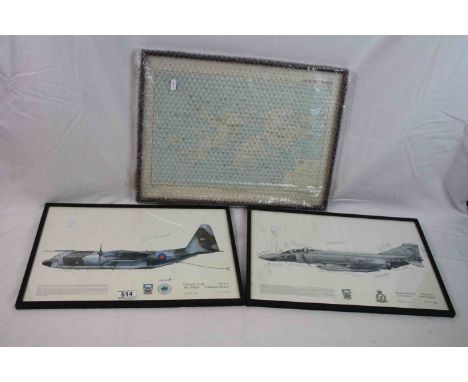
Lot 813
[BOOKS]. ASSORTED comprising two Hand-Books of Railway Stations, circa 1920 & 1947; three Railway Magazine Gradients of the British Main Line Railways, 1936 (x2) & 1947; three Railway Publishing Co. British Locomotive Types, 1937, 1943 & 1946; a Railway Clearing House Official [folding] Railway Map of Scotland, 1960; and two other items, (11).


Lot 258
H. MOLL MAP OF STAFFORDSHIRE WITH ANTIQUITIES together with various other Staffordshire county maps including Aikin 1798, John Seller, Phillips, 19th Century town plan of Stafford, Walker town plan of Birmingham (all loose, not mounted or framed) together with an 18th Century engraving of 'The Gate of the Manor House of Tixall, Staffordshire and a 19th Century engraving of 'The Talbot Arms Inn, Rugeley, Staffordshire (9)


Lot 105
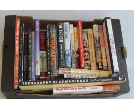
AFRICAN MILITARY INTEREST BOOKS to include Thomas Archer - 'The War in Egypt and The Soudan', 1885, four vols., James Grant - 'Cassell's History of the War in the Soudan', Michael Davitt - 'The Boer Fight For Freedom' 1902, J. Barclay LLoyd - 'One Thousand Miles With The C.I.V.' 1901, Sir Percy Fitzpatrick - 'Jock of the Bushveld' 1917 together with Stanford's Map of British South Africa,1895, a folding map backed on linen (14)
Lot 210
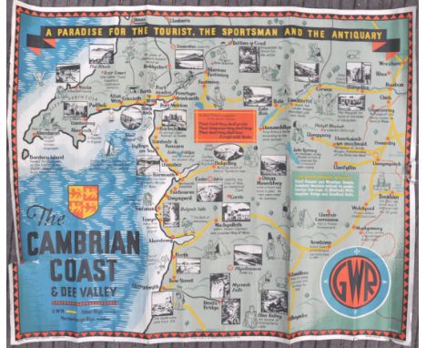
An original vintage 1930's GWR Great Western Railway lithograph travel poster for Cambrian Coast & Dee Valley ' A Paradise For The Tourist, The Sportsman And The Antiquary '. The poster depicting a map of the coast with the train line and and wonderfully illustrated tourist attractions all illustrated by J.P. Sayer as printed to bottom right. Beneath the print from left to right reads ' No. 72 Paddington Station, W.2 ', ' Printed in England, by London Lithographic Co. S.E.S ' and ' James Milne General Manager '. Measures; 102cm x 125cm.Condition fairly good with some repaired tears, previously folded and later rolled. Please see images.

Lot 228
An original WWII Second World War Map Of The Principal Camps For British & Dominion Prisoners Of War In Europe Publish By The Red Cross & St. John War Organisation having a coloured map showing prisoner camps, civilian internment camps and hospitals. Dated on pinned attached note 1.12.44. Measures; 51cm x 62cm.

Lot 103
A rare original WWII Second World War period German Luftwaffe / Nazi bombing map of North Wales. The partial map for Caernarvon, showing Conway Bay, Denbigh and other parts of North Wales. The map, labelled ' For Service Use Only ' to top (in German), features a large cancel mark across reading ' Ungultig ' (Invalid). Folded - partial map of France to verso. Measures approx; 60cm x 80cm.


Lot 67
A collection of 5x WWII Second World War Military related intelligence books. Comprising: 3x Naval Intelligence Division Handbooks published by the British Navy during World War Two: Spain and Portugal, Volume I The Peninsula 1941; Morocco Volume I 1941; and France Volume I 1942. Each in hardback and complete with folding map in a pocket at the rear endpapers. Along with The Air Battle for Malta, HMSO 1944; Club Route “ 30 Corps in Europe, 1946. Interesting publications.
Lot 20
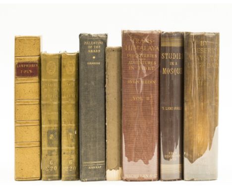
NO RESERVE Levant.- Lempriere (William) A Tour from Gibraltar...to Morocco, first edition, list of subscribers, lacking folding engraved map, modern sprinkled calf preserving old red morocco label, for the Author, 1791 § Lane-Poole (Stanley) Studies in a Mosque, second edition, original cloth, 1893 § Jebb (Louisa) By Desert Ways to Baghdad, folding map, plates, ex-library copy, original cloth, new endpapers, 1908, a little rubbed; and 5 others, travel, mostly Middle East, 8vo (8)
Lot 68
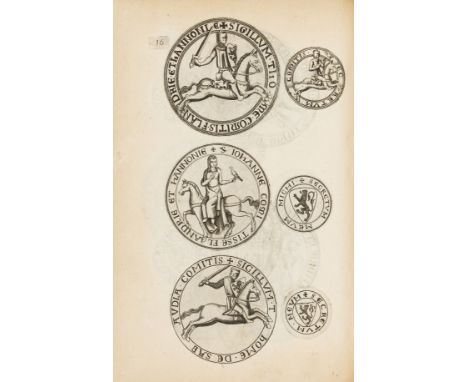
Heraldry.- Seals.- Wree (Olivier de) De seghelen der graven van Vlaendren ende voor-schriften van hunne brieven, title with large engraved seal, 112 pp. of mostly illustrations of seals, and coats of arms and a full-page map of Flanders, some spotting, lightly browned, contemporary vellum, soiled and marked, folio, Bruges, Jan Baptiste & Lucas Vanden Kerchove, 1640.⁂ First edition of this important work on seals.
Lot 29
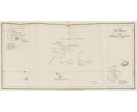
World.- Martin (John) An Account of the Natives of the Tonga Islands..., 2 vol., second edition, half-titles, engraved frontispiece and folding map, very faint even browning to peripheral ff., 1818 § Lancelott (F.) Australia As It Is..., 2 vol., first edition, lithographed frontispieces, publisher's catalogues, contents separating a little, vol.I hinges strengthened, labels removed from pastedowns, [Ferguson, 11299], 1852 § de Macedo (Joaquim Manoel) Notions on the Chorography of Brazil, translated by H.Le Sage, folding tables, several ff. unopened, spotting, Leipzig, 1873 § Lagden (Sir Godfrey) The Basutos..., 2 vol., frontispieces and plates, folding map, 1909, first original cloth-backed boards, others original cloth, third uncut, also with gilt crest of The Society of Writers to the Signet to boards, fourth with gilt device bearing Sesotho inscriptions, each rubbed and bumped; and a quantity of others, similar, 8vo & 4to (qty.)
Lot 3
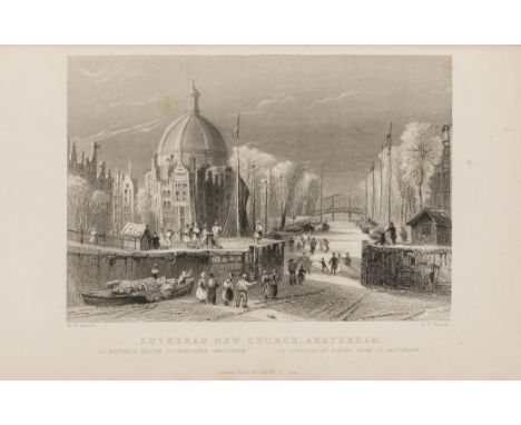
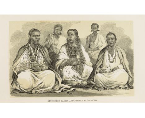
Africa.- Stern (Rev. Henry A.) Wanderings among the Falashas in Abyssinia, together with a description of the country and its various inhabitants, first edition, folding lithographed map, tinted wood-engraved frontispiece and 7 plates, wood-engraved illustrations, copyright slip tipped-in towards front, 1970s ink inscription to verso of frontispiece, occasional spotting, a few small stains, original blue cloth, rebacked, preserving original gilt backstrip, [Hilmy II, p.260], 1862; and 2 others, Travel, including 1 on Hausa superstitions and customs, 8vo (3)⁂ Stern was sent by the London Jew's Society to Abyssinia to preach to the Beta Israel Jews
![North American History.- [Halkett (John)] Statement Respecting the Earl of Selkirk's Settlement upon the Red River..., half-t](https://cdn.globalauctionplatform.com/fb53cac0-ccb5-46c2-ba74-a9ea00a38f5d/048bb415-3d53-4013-a52e-a9ea00aa0c99/468x382.jpg)
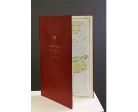
Lot 151
North American History.- [Halkett (John)] Statement Respecting the Earl of Selkirk's Settlement upon the Red River..., half-title, engraved folding map, several ff. unopened, offsetting from map, [Sabin 20704], 1817 § Hall (Lieut. Francis) Travels in Canada and the United States..., bookplate of Augustus Russell Street to front pastedown, his ownership inscription to front endpaper, woodcut illustrations, Boston, 1818 § Mayo (Robert) Political Sketches of Eight Years in Washington..., author's presentation inscription to front free endpaper, bookplate of S. Alofsen to front pastedown, ex-library copy with Macalester College stamps and labels, Baltimore, 1839, third first edition, others second edition, original boards or cloth, paper spine labels, first and second uncut, a little worn; and another, 8vo (4)⁂ Augustus Russell Street (1792-1866) philanthropist: endowed both the School of Fine Arts and several chairs at Yale.
![England & Wales.- [Desnos (Louis-Charles)] [Nouvel Atlas de l'Angleterre...], lacking engraved title but with 12 double-p](https://cdn.globalauctionplatform.com/fb53cac0-ccb5-46c2-ba74-a9ea00a38f5d/874b1544-02bc-4c5e-b4f1-a9ea00a9ed73/468x382.jpg)
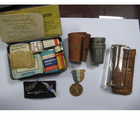
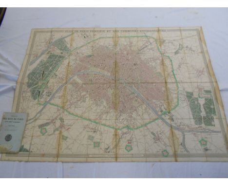
Lot 30
England & Wales.- [Desnos (Louis-Charles)] [Nouvel Atlas de l'Angleterre...], lacking engraved title but with 12 double-page engraved maps mounted on stubs (10 of England & Wales and 2 of Channel Islands & France), maps of England & Wales hand-coloured in outline, n.d.; Itineraire de Toutes les Routes de l'Angleterre.../ The Roads through England, or, Ogilby's Survey, revised...by Senex, engraved title with titles in French and English (bound before previous work), 8pp. letterpress index (smaller, with upper & lower margins added to fit volume), engraved general map and 101 strip road maps of England & Wales, n.d.; Recueil des Villes Ports d'Angleterre..., engraved throughout with title, double-page table, double-page map of London and 15 plates of views and town plans of England, Wales & Ireland, 1766, together 3 parts in 1 vol., lightly browned, contemporary calf-backed paste-paper boards, rather worn, joints split, 4to, Paris, Desnos, [c.1766].
Lot 26
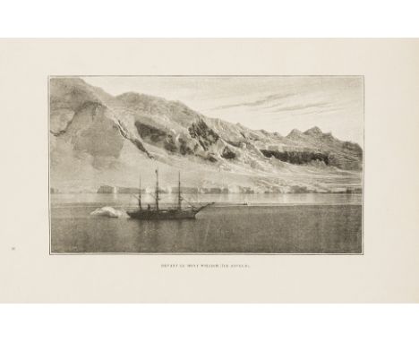
Polar.- Gerlache de Gomery (Commandant Adrien de) Quinze mois dans L'Antarctique, portrait frontispiece, illustrations, many full-page, folding map, occasional marginal tears, occasional faint soiling, contemporary half morocco, gilt, slight rubbing to corners and extremities, 8vo, Paris, 1902.
![NO RESERVE Agriculture.- [Wright (Rev. Thomas)] The Formation and Management of Floated Meadows..., 3 engraved folding plates](https://cdn.globalauctionplatform.com/fb53cac0-ccb5-46c2-ba74-a9ea00a38f5d/a88e8829-b6c1-47d8-a982-a9ea00a9a5a9/468x382.jpg)
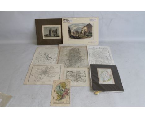
Lot 48
NO RESERVE Agriculture.- [Wright (Rev. Thomas)] The Formation and Management of Floated Meadows..., 3 engraved folding plates, sectional half-title and title, Z4 misbound, Northampton, Peter Mackenzie, 1808 § Culley (George) Observations on Live Stock..., third edition, 2 engraved plates, letterpress folding table, for G.G. & J. Robinson, 1801 § Rennie (Rev. R.) Essays on the Natural History and Origin of Peat Moss..., publishers' catalogue, ?lacking another, Edinburgh, by George Ramsay & Co., 1807 § [Marshall (William)] A Review of the Reports to the Board of Agriculture..., half-title, folding map, publisher's catalogue, ex libris of Ernest Ridley Debenham to front pastedown, hinges strengthened, York, by Thomas Wilson, 1808 § Hayward (Joseph) On the Science of Agriculture..., ex libris of Charles Atwood Kofoid to front pastedown, upper board loose, 1825, each but second first edition, each foxing, some soiling, first later half calf, second contemporary tree calf, others original boards or wrappers and uncut, each rubbed or worn, some a little loss; and a small quantity of others, similar, 8vo & 12mo (sm.qty.)
Lot 1
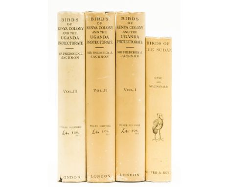
Africa.- Birds.- Jackson (Sir Frederick John) The Birds of Kenya Colony and the Uganda Protectorate, 3 vol., first edition, portrait frontispiece, 24 colour plates, captioned tissue-guards, illustrations, large folding map, original cloth, vol. 3 lightly rubbed, dust-jackets, a little rubbed, slight chipping to corners and extremities, spines lightly browned, 1938 § Cave (Colonel Francis O.) and James D. Macdonald, Birds of the Sudan, first edition, colour frontispiece, plates, captioned tissue-guards, illustrations, 2 maps, 1 folding, original cloth, dustjacket, slight chipping to corners and spine extremities, 1955; 8vo (2)
Lot 43
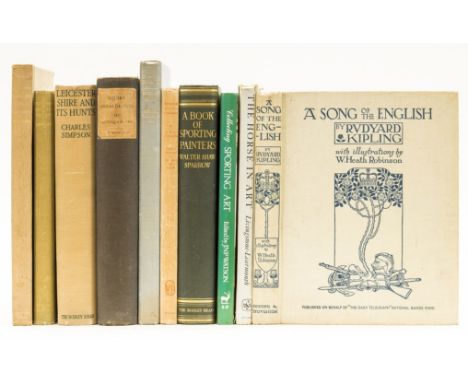
NO RESERVE Hunting.- Osbaldeston (George) Squire Osbaldeston: His Autobiography, number 61 of 100 printed on handmade paper with 13 additional illustrations, plates, 15 colour, illustrations, folding map, bookplate, original cloth backed boards, a little rubbed, 4to, March 1926 § Edwards (Lionel) Huntsmen Past and Present, 21 plates, 10 colour, occasional foxing, bookplate, original cloth, gilt titles, lightly rubbed spine, 1929 § Simpson (Charles) Leicestershire and Its Hunts: the Quorn, the Cottesmore, & the Belvoir, first edition, colour frontispiece, plates and illustrations, folding map, foxing, original cloth, slight bumping to spine extremities, 1926; and 10 others, similar, 4to & 8vo (13)

Lot 169
NO RESERVE North American History.- Doyle (J.A.) The English in America: Virginia, Maryland, and the Carolinas, folding map, hinges pulling, 1882; The English in America: The Puritan Colonies, 2 vol., 3 folding maps, contents separating, 1887; The Middle Colonies, bookplate of Richard Matthey, 1907; The Colonies under the House of Hanover, folding map, accession stamps and markings, 1907 § Holloway (Laura C.) The Ladies of the White House..., frontispiece & plates, Philadelphia, 1882, first two bookplate of W.G. Reeve, also hinges pulling, cloth, last pictorial, rubbed or worn, spines a little faded, first white flecking to upper board; and a small quantity of others, related, 8vo & 4to (sm.qty.)

Lot 407
BERNARD SLEIGH (1872-1954) FOR ROSEBANK FABRICS'A MAP OF FAIRYLAND', A RARE LINEN PANEL, CIRCA 1937 printed linen, bears maker's inscription to selvedge A MAP OF FAIRYLAND BY BERNARD SLEIGH/ A ROSEBANK FABRIC203cm x 128cmNote: This fabric is based on Sleighs 'An Anciente Mappe of Fairyland Newly Discovered and Set Forth' printed for nurseries from 1917. After Sleigh retired in 1937 it was produced as a fabric by Rosebank, who commissioned Sleigh to produce further works.

Lot 213
THE GUILD OF HANDICRAFTHAND-COLOURED PRINTED 'DANTE' MAP, DATED 1892 bears inscription DANTE MAP BY MARY HENSMAN/ PRINTED BY THE GUILD OF HANDICRAFT/ ESSEX HOUSE/ ...FROM THE DRAWING OF JOHN WILLIAMS AND PUBLISHED BY DAVID NUT/ 270 STRAND LONDON 189253.5cm x 86cmLiterature: Crawford, Allan, 'C. R. Ashbee: Architect, Designer and Romantic Socialist', New Haven and London, 1985, p. 457Note: Published in 1892, Mary Hensman's Dante Map originally consisted of a supplementary preface and gazetteer printed by letterpress. The map is thought to have been originally printed from woodblocks and features elaborate designs of Guild emblems by John Williams, a founding member of the Guild of Handicraft.

Lot 317
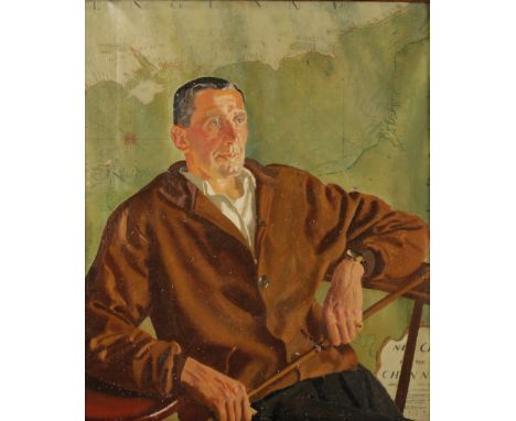
•ALFRED REGINALD THOMSON (1894-1979) A half length portrait of a gentleman, presumably a Military officer, seated before a large wall map of the English Channel, signed and dated 1930 lower right, oil on canvas, 81cm x 67cm Alfred Reginald Thomson was born in Bangalore, India, where his father was a civil servant. Born deaf, Thomson was later referred to by the press as the 'deaf and dumb artist'. During World War II Thomson became a full time salaried artist for the Air Ministry. Elected to the Royal Academy in 1945, Thomson was the last ever winner of an Olympic gold medal for painting in the 1948 London Olympics


-
109182 item(s)/page