We found 109182 price guide item(s) matching your search
There are 109182 lots that match your search criteria. Subscribe now to get instant access to the full price guide service.
Click here to subscribe- List
- Grid
-
109182 item(s)/page


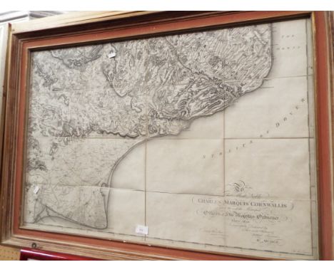
Lot 192
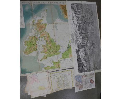
A Historical and Descriptive View of the County of Northumberland, published 1811 by Mackenzie & Dent (two volumes) folding map, plates, half calf; Tomlinson's Comprehensive Guide to Northumberland, 1888, folding maps, original cloth; Henley Royal Regatta, published 1969 by The Stewards of Henley Royal Regatta (two volumes) dust wrappers (5)


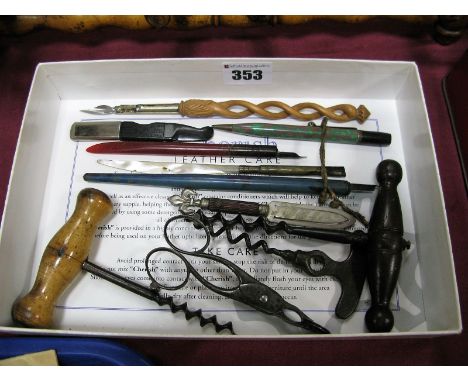


Lot 50
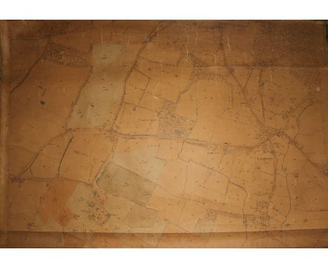
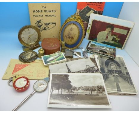
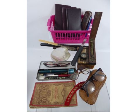
Gentleman's Lot, comprising rosewood and ebony rulers, ostrich skin glasses case, three pairs of tortoiseshell style glasses, compass, Coutts leatherette banking books, coin scales and Ordnance Survey map of Lancaster & District and four fountain pens and a French glass paperweight in the form of a toad.

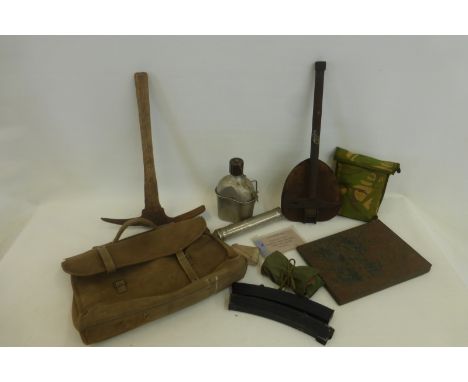
Lot 1385
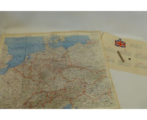
Military Interest WWII German Classified Books and Maps "Militärgeographische Einzelangaben über England" Preparing to invade Britain, the German military preparations included the production of a series of military/geographical assessments, showing what might be found by those arriving. Lot 1385 contains large scale town plans marked with strategic locations, a book of photographs and a quarter-inch map of the area, the folder titled “Militärgeographische Einzelangaben über England” (Maps of England showing features of military significance) Also four accompanying paperback publications.


Lot 405
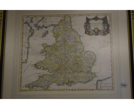
A Complete Set of 40 x Sterling Silver Medals 'The Ancient Counties of England,' issued by the Birmingham Mint 1975 to commemorate the boundary changes to English counties 31 March 1974; the obvs depict a building or other well-known landmark associated with each county; the set also includes a reproduction map of England dated 1635 & a booklet with detailed historical notes on each county; average weight of each medal 40.6g, in fitted wooden CofI, BU''


Lot 153
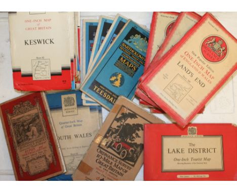
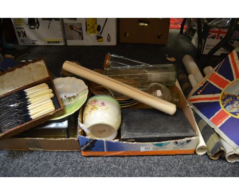
Advertisement - a Wills's 'Gold Flake' promotional card reward for collecting 48 sections; another; a portfolio of countryside related printers mock up copies of various artists; a Prince Charles investiture and printers catalogue; an early 20th Century ordinance survey map of a geological survey of Buxton and surrounding areas; six various glass storage jars; an Edwardian glass decanter; a Royal Doulton changing Georges decorative plates; plated ware, etc


-
109182 item(s)/page