Forum Auctions
Lot 111
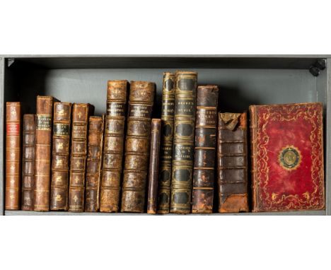
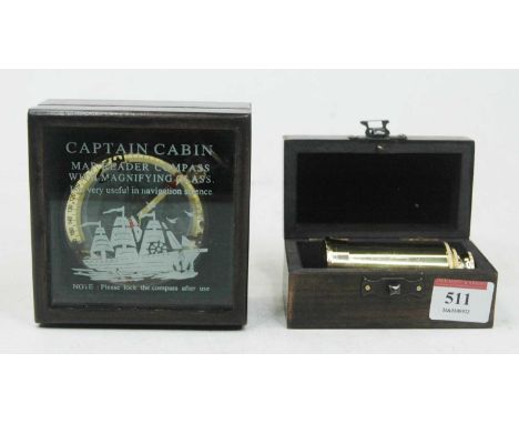
NO RESERVE Britain.- Sorbiere (Samuel) A Voyage to England, engraved folding plate, marginal foxing, tearing to gutter of title, contemporary panelled calf, rebacked and recornered, new endpapers, [Goldsmiths' 4531], J. Woodward, 1709 § Pennant (Thomas) Of London, engraved frontispiece, title and 10 plates (1 folding, frayed at fore-margin), offsetting, occasional light spotting or soiling, later half calf, lower cover detached, rubbed, for Robt. Faulder, 1790 § This Historic and Local Cheltenham Guide, engraved folding map frontispiece, folding table at rear, ink ownership inscription "17th August 1808 Jn. Austin" to head of title, original printed wrappers, lacking spine, light rubbing and creasing, Bath, n.d.; and c.50 others, British topography, v.s. (c.55)


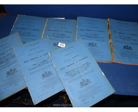


![Jansson (Jan.), Provincia Eboracensis, Yorke-Shire, Amsterdam, nd. [1659?], hand-coloured engraved map, Dutch text verso, fra](https://cdn.globalauctionplatform.com/bd0aa82c-aa93-4e17-8559-aec900d11d42/3e0f6026-fdc4-4c3f-a3cc-af040113c72c/468x382.jpg)


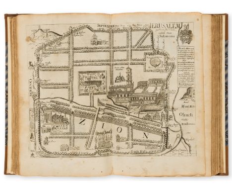
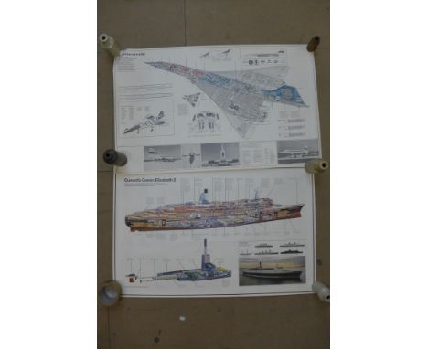
![NO RESERVE Hieronymus (Eusebius) [Saint Jerome]. Divina Bibliotheca [Opera Omnia], 5 vol., engraved portrait frontispiece, en](https://cdn.globalauctionplatform.com/f2b2d7fe-1eb2-4d47-9ea5-aefa00caa4aa/453a7e53-de22-4bb8-acf9-aefb00c3b95c/468x382.jpg)

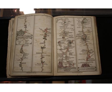
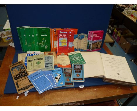
![NO RESERVE Low Countries.- [Parival (Jean Nicolas de)] Les Delices de la Hollande..., title in red and black, engraved additi](https://cdn.globalauctionplatform.com/f2b2d7fe-1eb2-4d47-9ea5-aefa00caa4aa/26d55381-d812-4d88-b71e-aefb00c274e8/468x382.jpg)