We found 216134 price guide item(s) matching your search
There are 216134 lots that match your search criteria. Subscribe now to get instant access to the full price guide service.
Click here to subscribe- List
- Grid
-
216134 item(s)/page


Lot 258
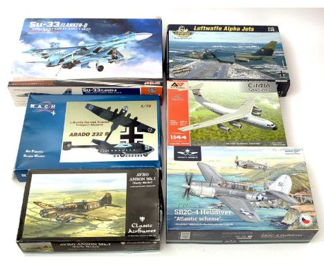
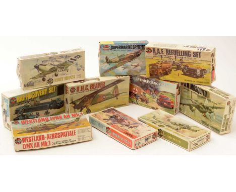
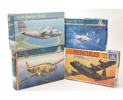
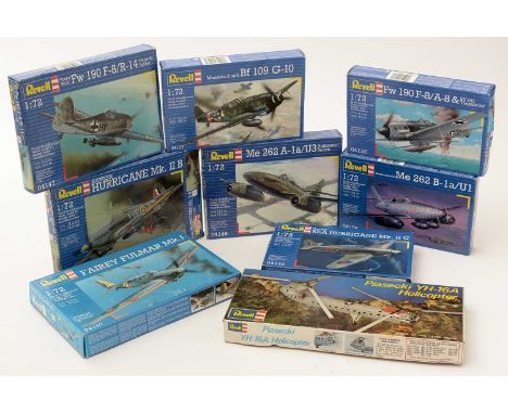
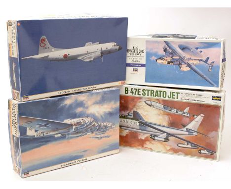
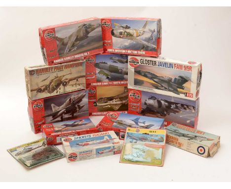
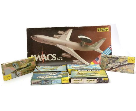
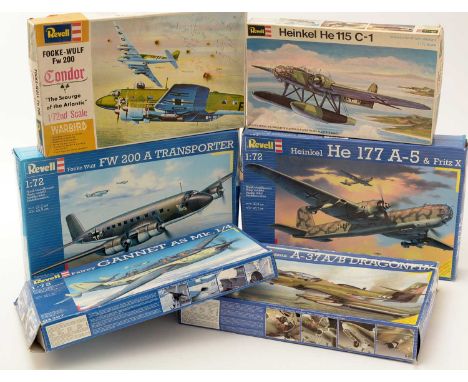
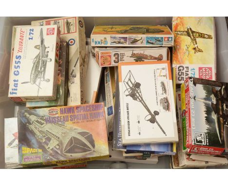
A collection of model constructor kits, to include: Airfix 1:72 scale, No's. A55307, 05173-2, Matchbox, 1:72 scale, No's. PK-123, Tamiya, 1:100 scale, No's. CH-54, Frog, 1:72 scale, No. F228, Entex, 1:72 scale, No. DC3, KP, 1:72 scale, Avia B33, Supermodel, 1:72 scale, No. 10-007, Arma Hobby, 1:72 scale, No. 70061, Special Armour, 1:72 scale, No's. SA72001, SA72014, and more boxed. (33)


Lot 213
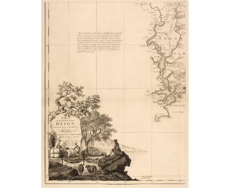
Devon. Donn (Benjamin), A Map of the County of Devon, with the City and County of Exeter, 1st. edition, 1765, key plate and 12 (complete) uncoloured double-page map sheets, decorative cartouche, mileage scale and table of explanation, inset maps of Lundy, Plymouth and Stoke Town and plan of Exeter, compass rose and dedication, later endpapers, modern half morocco with gilt title to spine, slim upright folioQTY: (1)NOTE:Batten & Bennett. The Printed Maps of Devon, no. 44. Arguably the best known of all the large-scale county maps due to the 100 Guineas award from the Royal Society of Arts. Donn's map of Devon was the first map to receive the award which had been conceived by the society in 1762. Donn had taken five years to survey the county and claimed to have measured over 6000 miles of roads and rivers. Highly accurate and exhaustively detailed, the map clearly benefits from Donn's training as a mathematician, but the skill of Thomas Jefferys as an engraver cannot be understated. The map was sold in a simple twelve-sheet format for one and a half guineas (as in this example) and with an extra five shillings for colouring. It was also available in a de-luxe state with a title page, printed index, subscribers list and index map for two guineas plus extra for colouring.
Lot 218
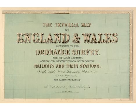
England & Wales. Lewis (Samuel), A Map of England & Wales Divided into Counties, Parliamentary Divisions and Dioceses, Shewing the Principal Roads, Railways, Rivers & Canals and the Seats of the Nobility and Gentry, with the distance of each town from the General Post Office London..., published S. Lewis & Co., 1841, large map engraved by J. Dower with contemporary outline colouring, sectionalised and laid on linen, in four parts (as published), inset map of the Scilly Isles, calligraphic cartouche, compass rose, table of explanation and large uncoloured engraved vignette of the Post Office in London, slight spotting and offsetting, each sheet approx. 1050 x 850 mm, each section bound in contemporary morocco gilt, worn and frayed, size when folded 225 x 145 mm, together with Cary (John). [Cary's New Map of England and Wales with part of Scotland on which are carefully laid down all the Direct and Principal Cross Roads, the Course of the Rivers and Navigable Canals..., 1794], lacking title, but retaining dedication and the general map of England & Wales with contemporary hand colouring, table of explanation, 77 engraved maps with contemporary outline colouring (numbered to 81), tipped in printed addendum of the 'Measured Distances in the Neighbourhood of Plumpton', slight offsetting and dust soiling, 'list of places' and subscriber's list bound at rear, first few leaves detached, some splitting and cracking along the gutter, slight dust soiling and spotting throughout, contemporary half calf, spine partially lacking, upper board detached, heavily rubbed and worn, 4to, with Bartholomew (John). The Imperial Map of England & Wales According to the Ordnance Survey, with the Latest Additions; Shewing clearly every Feature of the Country, Railways and their Stations, Roads, Canals, Rivers, Gentlemen's Seats &c. &c., On a Scale of 4 Miles to an Inch, A. Fullarton & Co., [1866], index and a double-page calligraphic title, sixteen double-page colour lithographic maps, sheet 16 divided into three separate maps, text block detached, contemporary half calf gilt, boards detached, lacking spine, slim folio, plus Bell (James). A New and Comprehensive Gazetteer of England and Wales..., 8 volumes, A. Fullarton & Co. 1837, frontispiece of an 'Extracts of Reviews', title pages with dated contemporary ownership signature to each volume, folding engraved map of England & Wales with contemporary wash colouring and 44 uncoloured engraved county maps by Archibald Fullarton, some spotting throughout, some hinges and joints partially split, publishers green cloth with contrasting paper labels to the spines, bumped, faded and worn, 8vo, together with Cox [Thomas]. Magna Britannia et Hibernia Antiqua & Nova..., volume 3 only, 1724, title page and 3 only (Middlesex, Northamptonshire & Northumberland, lacking Norfolk)) uncoloured engraved folding maps by Robert Morden, each with a triangular mileage table, bookplates of John Basil Tolhurst to the front pastedown and of Prinknash Abbey to the front blank, contemporary vellum with manuscript title to the spine, 8vo, with Capper (Benjamin Pitts). A Topographical Dictionary of the United Kingdom..., Sir Richard Phillips and Co. 1829, frontispiece of an uncoloured engraved folding map of the British Isles, title page, introduction and index, 43 uncoloured engraved maps, preliminaries detached, contemporary quarter sheep, lacking spine, upper board detached rear board near detached, heavily rubbed and worn, 8voQTY: (16)
Lot 216
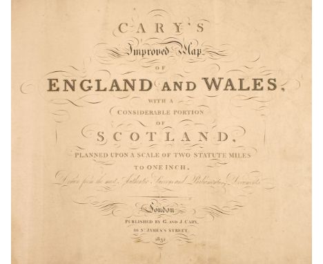
England & Wales. Cary (G. & J.), Cary's Improved Map of England and Wales with a considerable portion of Scotland, planned upon a scale of two statute miles to one inch, 1832, calligraphic title, index map, inset map of the Scilly Isles, 65 (complete as keymap) engraved map sheets, all with contemporary outline colouring, some marginal fraying and chipping, a few sheets with long closed tears affecting the printed image, slight dust soiling, particularly to the last sheet, publisher's paper wrappers, heavily worn and frayed, lacking spine, oblong folio, binding size 565 x 700 mmQTY: (1)
Lot 53
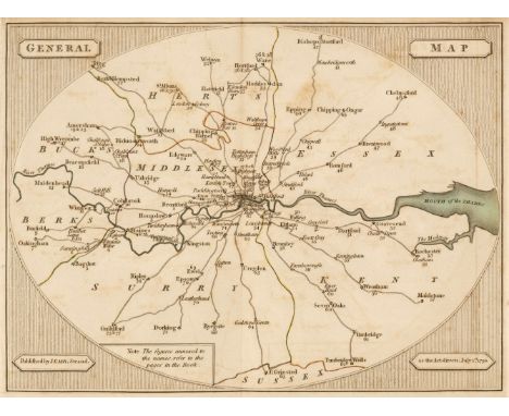
Cary (John). Cary's Survey of the High Roads from London to Hampton Court, Ware, Bagshot, Bishops Stortford, Oakingham, Chipping Ongar..., On a Scale of one Inch to a Mile; wherein every Gentleman's Seat, situate on, or seen from the road, (however distant) are laid down, with the name of the Possessor; to which is added, the number of Inns on each Separate Route; also, The different Turnpike Gates shewing the Connection which one Trust has with another, 1st edition, J. Cary, 1st July 1790, engraved title page with faint near-contemporary manuscript ownership signature, page of explanation, folding general map of London and its environs, plan of London depicting the turnpike gates, and 80 strip maps (complete) on 40 sheets, all maps with contemporary outline colouring, slight offsetting, bookplate of John Junius Morgan to front blank, later marbled endpapers, hinges strengthened, all edges gilt, contemporary gilt speckled calf with gilt turn-ins, re-backed, slight wear to extremities, 8voQTY: (1)
Lot 244
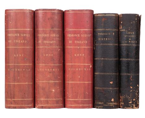
South East England. Ordnance Survey (publishers), on a scale of 1 inch to the mile, 1885, including East Sussex and West Sussex. Two untitled maps, Edward Stanford, 1885, engraved maps with contemporary outline colouring, sectionalised and laid on linen, on two sheets, each sheet approximately 920 x 1360 mm, marbled endpapers, together with Isle of Wight. Edward Stanford, 1885, engraved map with contemporary outline colouring, sectionalised and laid on linen, slight offsetting, 695 x 970 mm, marbled endpapers, with East Kent & West Kent. Two untitled maps, Edward Stanford, 1885, engraved maps with contemporary outline colouring, sectionalised and laid on linen, on two sheets, each sheet approximately 1045 mm, all contained within a contemporary morocco gilt book box, the box heavily worn and frayed, plus Environs of Tunbridge Wells. Ordnance Survey (publishers), on a scale of 25 inches to the mile, Edward Stanford, 1883, seven zincographic maps, coloured in outline, sectionalised and laid on linen, each sheet approximately 690 x 1000 mm, marbled endpapers, all contained within a contemporary morocco gilt book box, the box heavily worn and frayed (the two book boxes are uniform), and Kent. Ordnance Survey (publishers) on a scale of 25 inches to the mile, Thomas Letts, circa 1870, seventeen zincographic maps, coloured in outline, sectionalised and laid on linen, each sheet approximately 680 x 1020 mm, contained in three red half morocco gilt book boxes with marbled sidings and edges, each with 'hook & eye' clasps, one box with the upper board broken with loss QTY: (5)
Lot 253
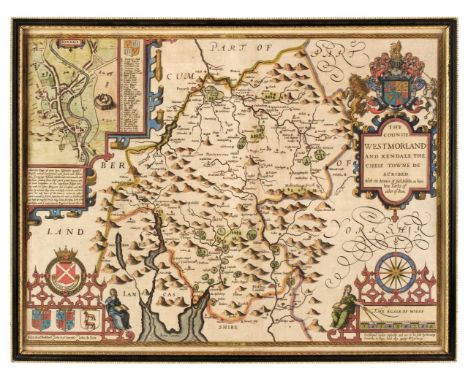
* Westmorland. Speed (John), The Countie of Westmorland and Kendale the Cheif Towne Described with the Armes of such Nobles as have bene Earles of either of them, George Humble. circa 1627, hand-coloured engraved map, inset town plan of Kendal, large strapwork cartouche, compass rose and mileage scale, 380 x 510 mm, framed and double-glazed, English text on verso QTY: (1)
Lot 220
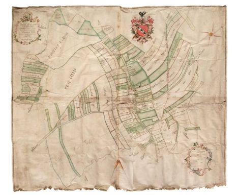
Estate Plan. The Map of part of the Lordship of Darrington situate in the County of the West Riding of the County of York, belonging to Wm. Sotheron Esq. Surveyed in the Year 1757 by John Lund, large manuscript estate plan in ink and watercolour on two conjoined sheets of vellum, large floriate cartouche and explanation, large armorial and scale, creased, some dust soiling, small closed tears affecting the image, slight fraying to the lower margin, 1140 x 1290 mm, with another 20, mostly 19th-century maps, building plans, estate plans, engraved portraits and photographs, all relating to the Estcourt family of Estcourt House, near Tetbury, Gloucestershire, some plans and maps with severe damp and rodent damage causing loss, various sizes and conditionQTY: (21)
Lot 232
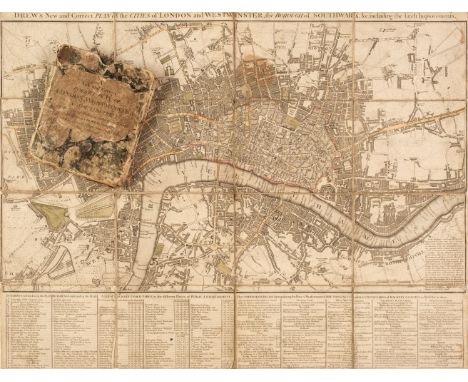
London. Drew (John), Drew's New and Correct Plan of the Cities of London and Westminster, the Borough of Southwark &c. including the latest Improvements [1799], engraved map with contemporary outline colouring, sectionalised and laid on linen, some staining, slight wear where old folds cross, scale and note on Hackney carriages below map, 400 x 520 mm, contained in a contemporary marbled card slipcase with printed label to the upper siding, slipcase worn and frayedQTY: (1)NOTE:Uncommon. Howgego. Printed maps of London, number 218. First and only state.
Lot 204
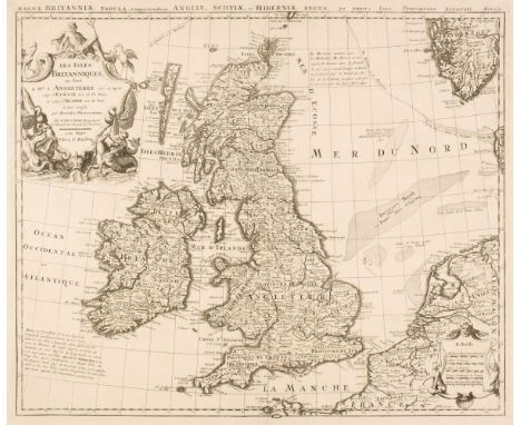
British Isles. Husson (Pieter), Les Isles Britanniques ou sont le Rme. d'Angleterre tiré de Sped celuy d'Ecosse tiré de Th. Pont et celuy d'Irlande tiré de Petti..., par G. De L'Isle..., The Hague [1706], uncoloured engraved map, large decorative cartouche and mileage scale, title repeated above the map in Latin, 470 x 550 mm, together with De Vaugondy (Robert). Carte des Isles Britanniques qui renserment les Royaumes D'Angleterre D;Ecosse & D'Irlande Divisée par Provinces et Comtés..., Paris, Jean Baptiste Fortin, 1780, engraved map with contemporary outline colouring, inset map of the Orkney and Shetland Islands, table to the left-hand margin, old folds, central fold strengthened on verso, 540 x 720 mmQTY: (2)NOTE:The first described item. R. W. Shirley. Printed Maps of the British Isles, 1650 1750, Husson 1 state 1. The second map is derived from an earlier example by Thomas Kitchin.
Lot 247
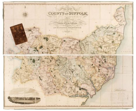
Suffolk. Greenwood (C. & J.), Map of the County of Suffolk from Actual Survey made in the Years 1823 & 1824..., Greenwood Pringle & Co. September 26th 1825, large scale engraved map with contemporary wash colouring, sectionalised and laid on linen on two sheets, calligraphic cartouche, compass rose, table of explanation and an inset vignette of Bury St Edmunds, slight staining and offsetting, each sheet edged in green silk, each sheet approximately 660 x 1685 mm, contained in a contemporary calf book box with contrasting morocco gilt label to the spine, book box bumped worn and frayed QTY: (1)NOTE:Uncommon.
Lot 237
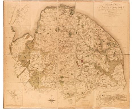
Norfolk. Donald (Thos. & Milne Thos.), A Topographical Map of the County of Norfolk, Surveyed and Measured in the Years 1790, 91, 92, 93 and 94..., Executed and published at the expense of the proprietor William Faden, 1st edition, August 12th 1797, engraved map with contemporary outline colouring, sectionalised and laid on linen, calligraphic title and compass rose, inset plans of Great Yarmouth, Kings Lynn and Swaffham, toned overall, pin holes to the margins, small contemporary publisher's printed label to the verso, overall size 1220 x 1835 mmQTY: (1)NOTE:T. Chubb. A Descriptive List of the Printed Maps of Norfolk 1574 - 1916, page 78. A scarce large-scale map which took five years to survey and was the first complete survey of the county completed on the scale of 1 inch to 1 mile. There is a second edition of the map which includes a short 'legend' to the side of the plan of Kings Lynn.
-
216134 item(s)/page