We found 216134 price guide item(s) matching your search
There are 216134 lots that match your search criteria. Subscribe now to get instant access to the full price guide service.
Click here to subscribe- List
- Grid
-
216134 item(s)/page
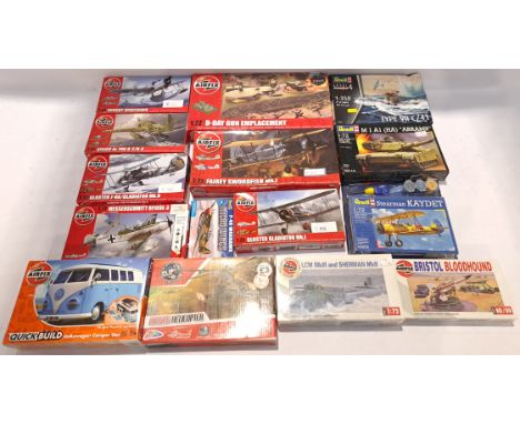

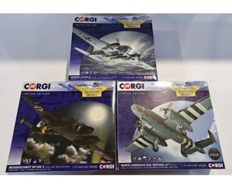
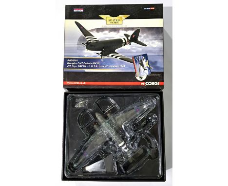
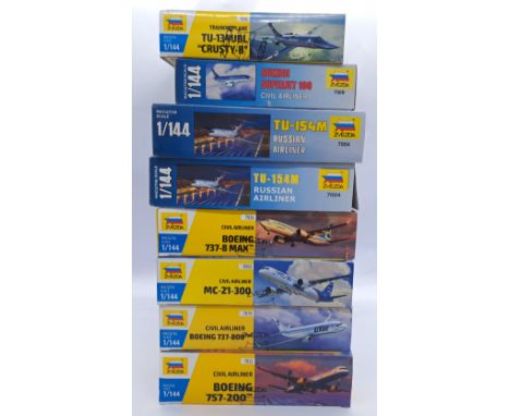
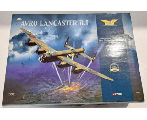
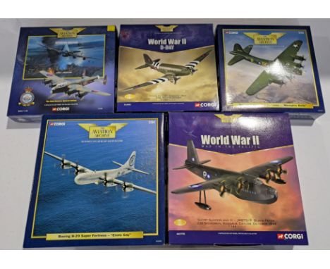
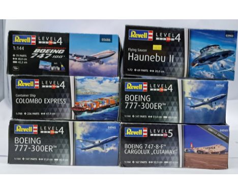
Lot 601
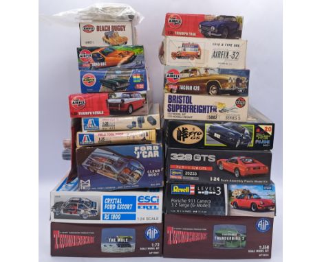
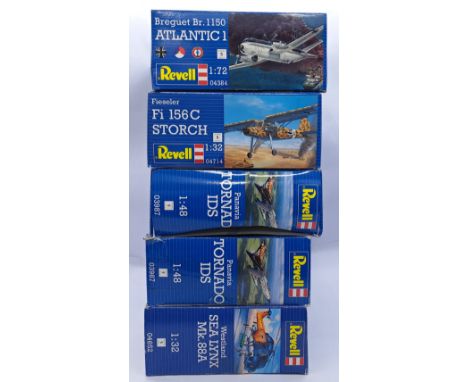
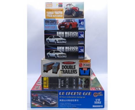
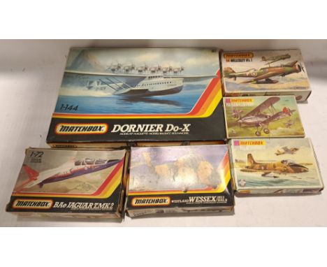
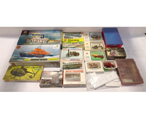
AIP, Hasagawa, Airfix and similar a mixed scale vehicle and TV/Film related model kit group to include; AIP10010 'Thunderbirds' Transparent Thunderbird 2, ESCI3049 - Crystal Ford Escort RS 1800 as well as others. Conditions appear from Fair to Excellent (with most kits appearing to still have parts bagged) within generally Fair to Good Plus boxes. See photo.
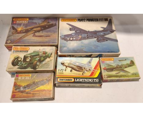
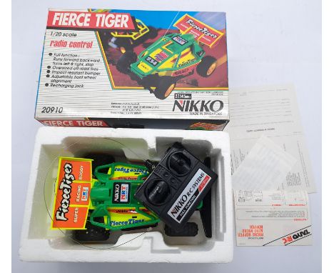
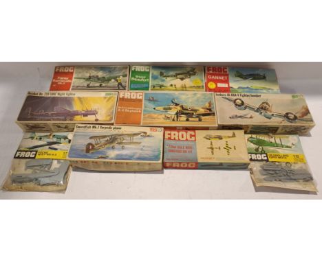
Lot 595
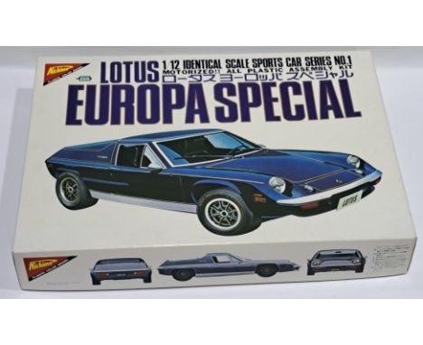
Nichimo 1:12 scale, No.MB-1201 - Lotus Europa Special. Conditions appears Excellent to Near Mint (with main body and kit parts still bagged, sticker livery still bagged and stapled to box & instructions, tires and extra part still present) within generally Good Plus to Excellent box. See photo.
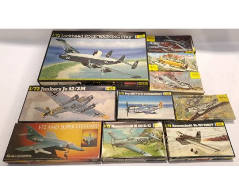
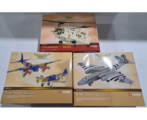
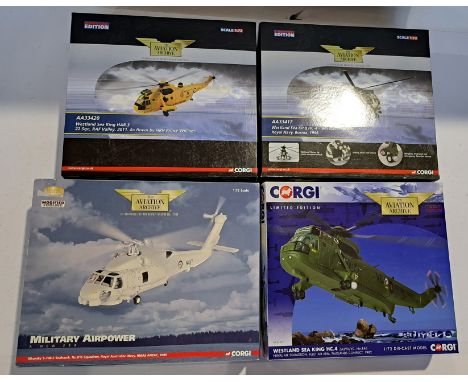
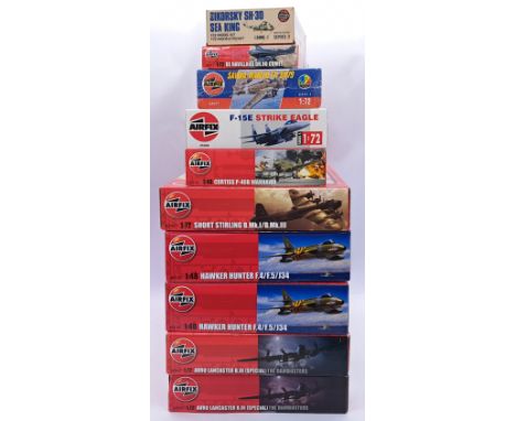
Lot 330
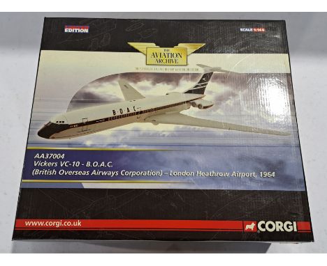
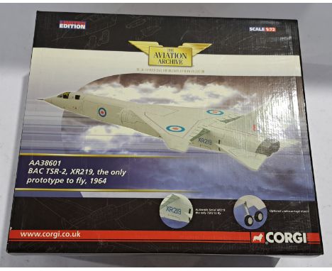
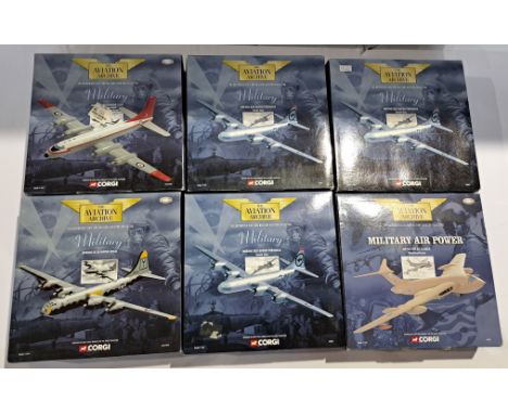
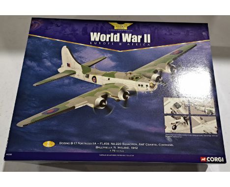
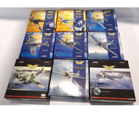
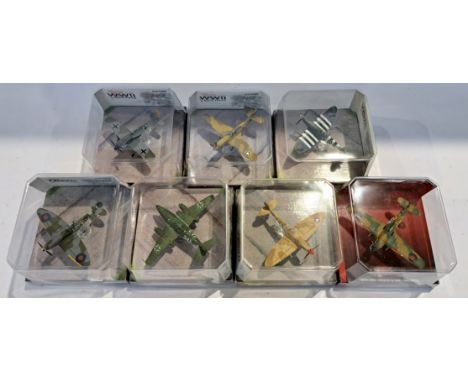
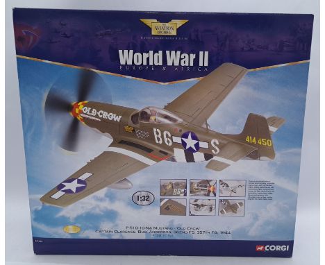
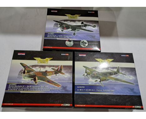
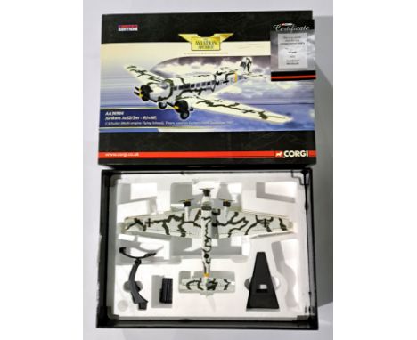
Corgi (Aviation Archive) - a boxed 1/72 Scale AA36904 (World War II - Air War Over The East) a Junkers JU52/3M-RJ + NP, C-Schulen (Multi-Engine Flying School), Thorn, Thorn. (used on the Eastern Front December 1941). Although not checked for completeness, conditions generally appear Good although does appear to have been repackaged therefore may have pieces missing, broken off or loose in generally Good box. Box does suffer from scuffing, corner wear etc possibly due to storage. See photo.
-
216134 item(s)/page