We found 216136 price guide item(s) matching your search
There are 216136 lots that match your search criteria. Subscribe now to get instant access to the full price guide service.
Click here to subscribe- List
- Grid
-
216136 item(s)/page
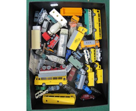

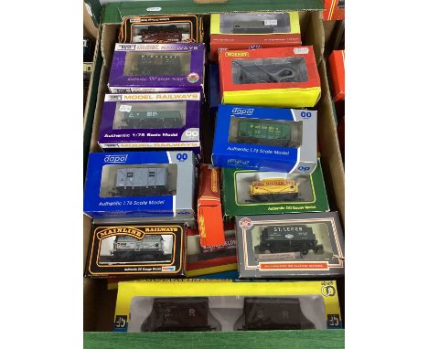
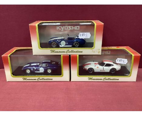
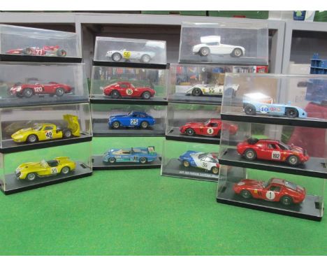
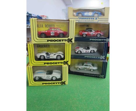
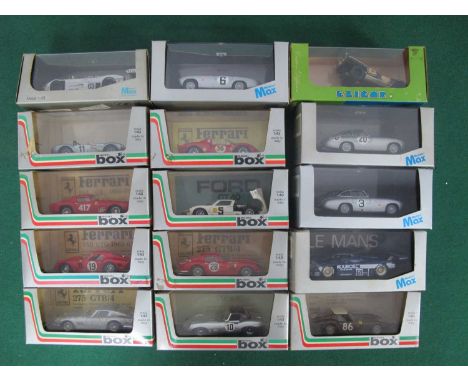


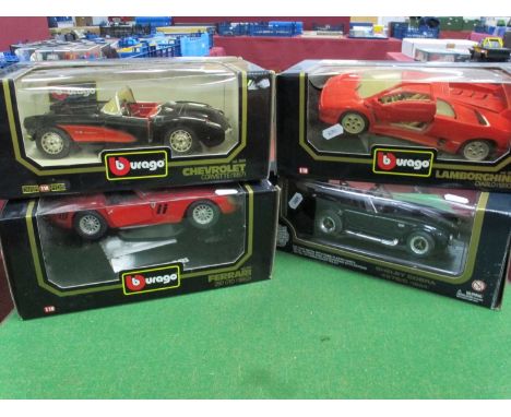
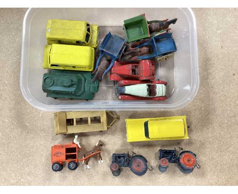


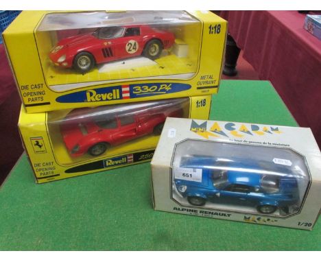
Lot 651
Three Diecast Model Cars Comprising of Revell - Jouef Evolution 1:18 Scale to include Ferrari 330 P4 (dusty condition), Ferrari 250GTO64 (dusty condition, chipping to paintwork, slight decal loss), and 1:20 Scale Macadam Mini Alpine Renault (scratching/ chipping to paint work noted), outer boxes dusty and would benefit from clean.


-
216136 item(s)/page