We found 216136 price guide item(s) matching your search
There are 216136 lots that match your search criteria. Subscribe now to get instant access to the full price guide service.
Click here to subscribe- List
- Grid
-
216136 item(s)/page

Lot 815
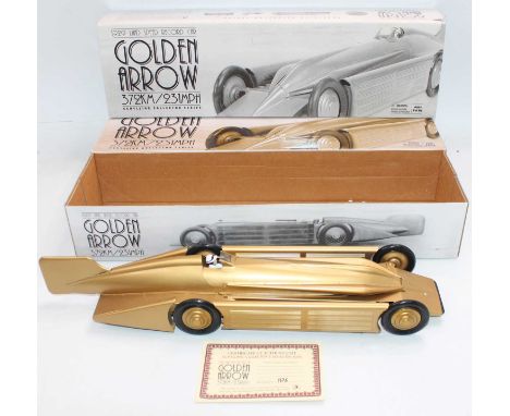
2 World Landspeed Record Cars to include, Schylling "1929 Golden Arrow Land Speed Record Car" limited edition tinplate clockwork car comprising metallic gold finish with plastic driver figure and steerable front wheels, clockwork motor in working order to underside with integral key - appears as new with packaging pieces and certificate, together with a Revell No. 08420 1/18 scale Auto Union Type C World Record Car - also appears as new.
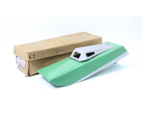
Lot 842
An original 1940's Codeg 5096/54 18 inch 1/12th scale Electric Hydroplane battery operated tinplate model boat, pressed steel body having original green paint and prop, canopy lifts off to reveal battery and motor compartment, complete in original box with lid with Makers label to side of box.
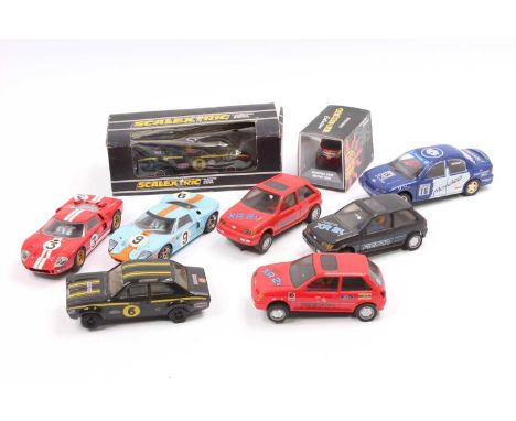
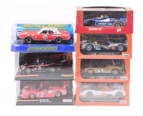
Lot 861
A collection of boxed 1/32nd scale slot cars to include, 3x Slot-it models - CA24c Audi R18 TDI Le Mans, CA20c Ford MkII Le Mans and SC31a Aston Martin DBR1-2, 2x Scaleauto models - BMW M1 and an Interscope 24Hr Daytona Racer as well as a Scalextric Mercury Cougar and a vintage Ligier Formula 1 (in a Ninco box)

Lot 938
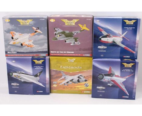
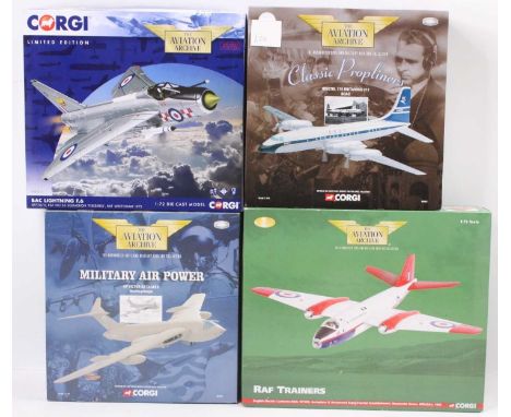
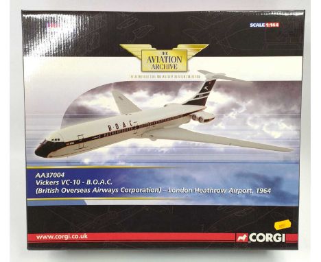
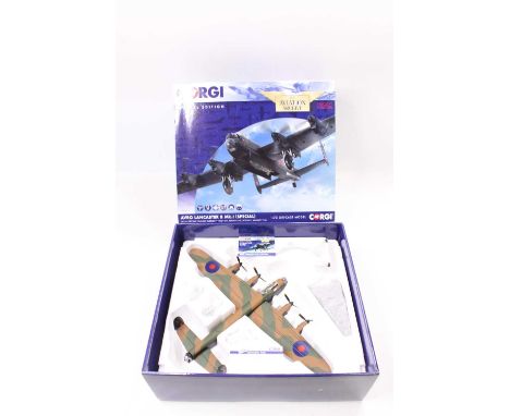
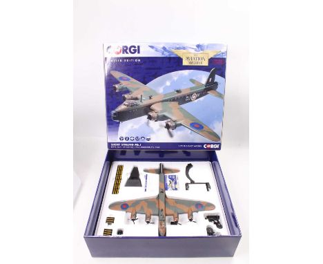
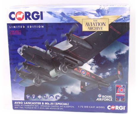
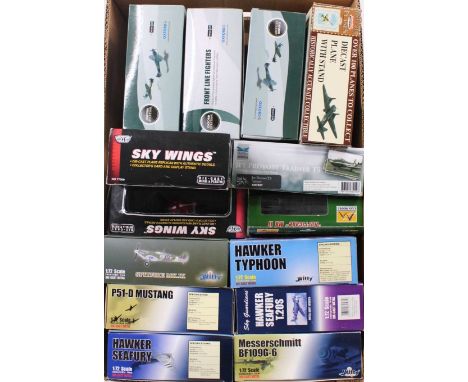
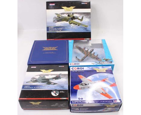
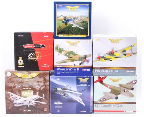
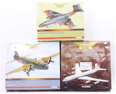
Corgi Aviation Archive and Corgi mixed scale both aircraft group, 5 examples all in original packaging, to include Corgi CC99306 Avro Lancaster B1, Oxford 72AA001 Avro Anson MK1, Corgi AA32713 Hawker Hunter, Corgi AA37304 De Havilland Vampire, and a Corgi AA38002 Fairchild A-10A Thunderbolt and others


-
216136 item(s)/page