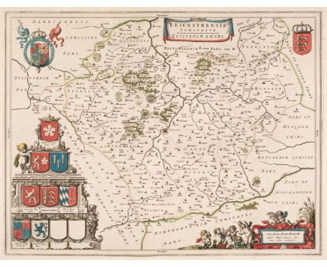
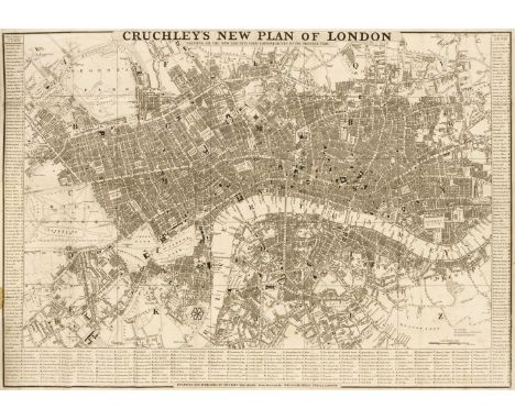
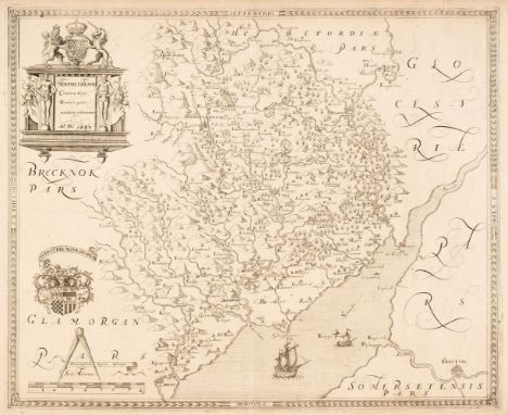
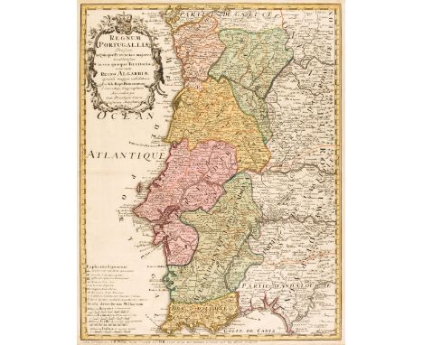
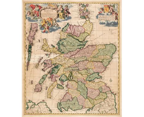
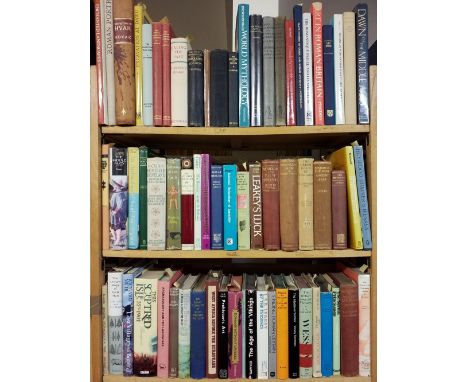
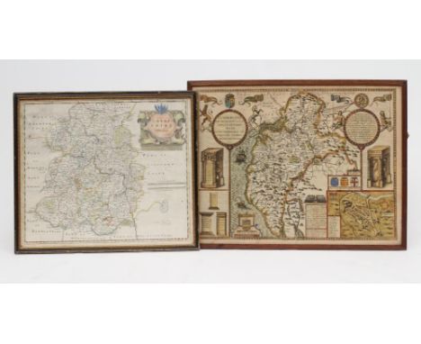
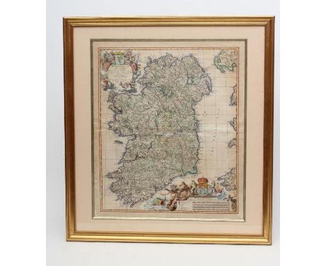
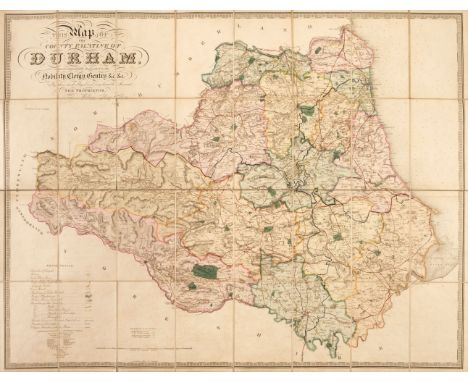
Folding Maps. A collection of seven maps, mostly 19th century, including Cruchley (G. F.). Cruchley's (Late Cary's) New Map of Ireland, showing Railways and all the Turnpike Roads with the Rivers and Canals..., circa 1845, engraved map with contemporary outline colouring, sectionalised and laid on linen, calligraphic title and table of explanation, 760 x 640 mm, tartan endpapers with the bookplate of J. Stewart Robertson, contained in a contemporary cloth slipcase with publishers' printed label to upper cover, slipcase a little faded and worn at extremities, together with Cary (John). Cary's New Map of Ireland Exhibiting the whole of the Turnpike Roads with the Rivers and Canals..., 1832, engraved map with contemporary outline colouring, sectionalised and laid on linen, slight offsetting, 760 x 640 mm, chalk endpapers, contained in a contemporary card slipcase with publisher's printed label to the upper cover, slight wear at extremities, with Walker (J. & A.). To Lieut. General The Most Honble. the Marquis of Anglesey, K. G. G. C. B..., This Map of North Wales is with his Lordship's permission most respectfully dedicated..., circa 1845, engraved map with contemporary outline colouring, sectionalised and laid on linen, calligraphic title, engraved vignette of the Menai Bridge, slight staining and dust soiling, near-contemporary ink ownership signature to the upper margin, 625 x 770 mm, cloth endpapers, blind-stamped cloth binding with gilt publisher's stamp (Letts Son & Co.) to upper cover, faded and frayed along the spine, plus Cary (John). Cary's Reduction of his Larger Map of England and Wales with Part of Scotland..., 1805, engraved map with contemporary outline colouring, sectionalised and laid on linen, 760 x 630 mm, contained in a card slipcase with circular publisher's label to upper cover, slipcase heavily worn and frayed, and Laurie (Robert & Whittle James). A New Map of Scotland or North Britain, Drawn from the most approved Surveys..., 1794, engraved map with contemporary outline colouring, sectionalised and laid on linen, inset map of the Shetland and Orkney Islands, slight staining, 570 x 525 mm, with Ordnance Survey (publishers). Map of Neath, Edward Stanford, circa 1860, engraved map with contemporary outline colouring, sectionalised and laid on linen, scale 1 inch to the mile, 970 x 1430 mm, contained in a contemporary cloth slipcase with publisher's printed label to upper cover, slipcase stained and a little frayed, and plus a folding map of Argyleshire by John Johnstone and W. & A. K. Johnston and House of Commons Commissioners (publishers). Sixth Report of the Commissioners for Roads and Bridges in the Highlands of Scotland, 24th February 1813, title page and 45 pages of text, including an engraved plate of an elevation and plans of the Bonar Bridge and an engraved folding map of Scotland by A. Arrowsmith, contemporary outline colouring, map size 610 x 500 mm, contemporary blue paper wrappers with printed titles to both sidings, and a 20th-century book box, the covers decorated with a reproduction of H. Hondius's map of the word, 255 x 175 mmQty: (9)

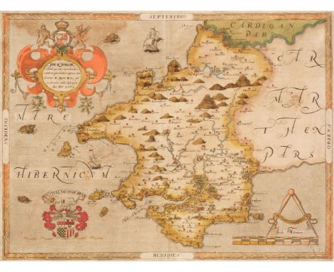
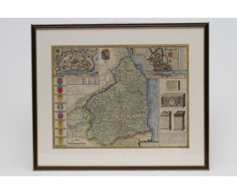
![Glamorganshire. Saxton (Christopher), Glamorg? comitatus australis Cambriae pars descriptio Ano Dni 1578 [1579], engraved map](https://cdn.globalauctionplatform.com/eb01b961-dd44-4022-93a5-ad8900ff91e1/dd1e1a19-a7a5-47c3-bc10-ad8a0120473f/468x382.jpg)