We found 216136 price guide item(s) matching your search
There are 216136 lots that match your search criteria. Subscribe now to get instant access to the full price guide service.
Click here to subscribe- List
- Grid
-
216136 item(s)/page

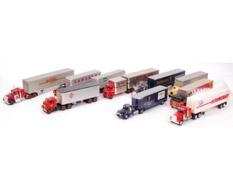
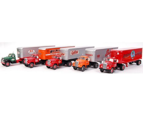
Lot 357
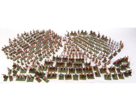
A large collection of assorted likely Hinchcliffe / Minifigs 25mm scale white metal painted figures. Painted to museum standards, and many on dioramic bases. All appear to be Napoleonic and/or French / European. Many marked to base, to include; Colonel General, Swiss Guards, Diesbach, Courten, Navarre, Bigorre, Piemont, Vastan, Cavalry, Infantry, and many others. Likely 250+ figures.
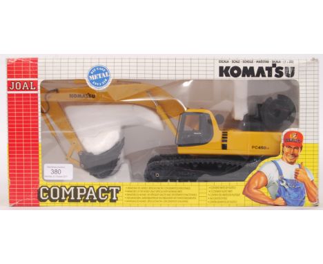
Lot 380
A vintage Joal Compact precision diecast 1:32 scale model Komatsu No. 226 PC450LC Excavator. Appears mint+, within the original display box. Highly detailed model. Note: from an extensive private collection of Joal and other construction related diecast models. All boxed models are generally mint to mint+ (unless specified). Most are unremoved from their original boxes. Buyers are reminded to satisfy themeselves as to condition of individual lots, as some, will vary.
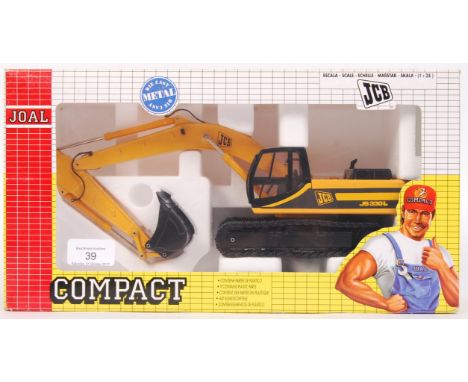
Lot 39
A vintage Joal Compact precision diecast 1:32 scale model No. 261 JCB Tracked Excavator JS330L. Appears mint+, within the original display box. Highly detailed model. Note: from an extensive private collection of Joal and other construction related diecast models. All boxed models are generally mint to mint+ (unless specified). Most are unremoved from their original boxes. Buyers are reminded to satisfy themeselves as to condition of individual lots, as some, will vary.

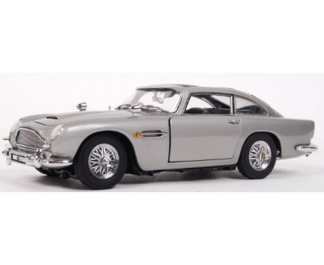
Lot 470
An original Danbury Mint precision diecast James Bond 007 1:24 scale model Aston Martin DB5. Mint, and unused, with the roof panel still sealed to the polystyrene packing. With outer box present. No certificate. Wonderfully detailed model, with all the features of the car as seen in the film.
Lot 498
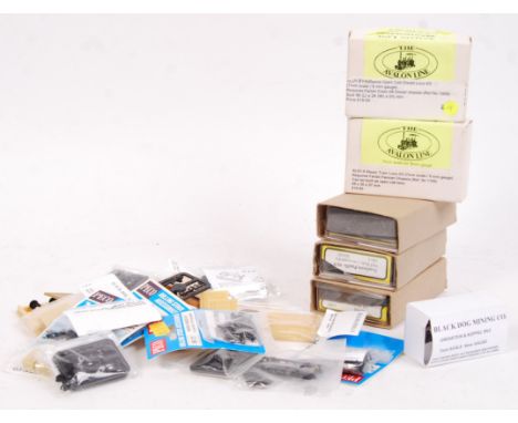
A collection of assorted narrow gauge (Nn3, Z & N gauge) model kits and related items. To include; 3x Gold Rush Models white metal conversion kits (2 appear unused, 1 part built), 2x Avalon 7mm scale plastic model kits (unused), various Peco kit parts, Black Dog Mining Co, and other items. Mostly bagged / boxed. Some loose parts. Kits unchecked, but presumed complete and unused (unless stated).
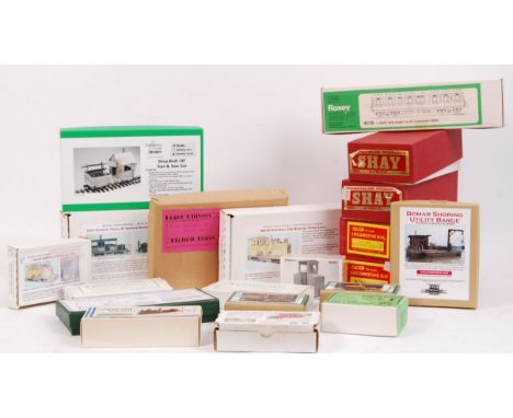
Lot 507
A large collection of 20x assorted vintage model railway kits - white metal, brass and plastic. Some vintage. Comprising of Roundhouse Shay, Boulder Valley Models, Grandt Line, Sierra West Scale Models, Roxey, Springside Models, Roger Chivers, Evergreen Hill Designs and others. Various gauges, to include; On30, 0 gauge, H0 gauge and others. All boxed. Contents unchecked, but largely appear complete and unused.
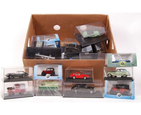
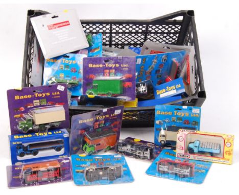
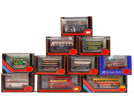
Lot 53
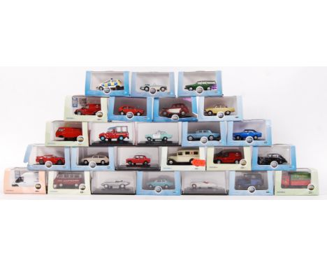
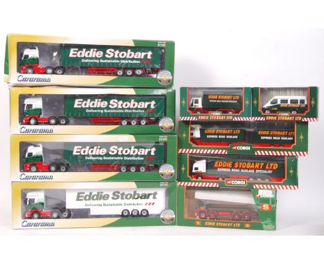
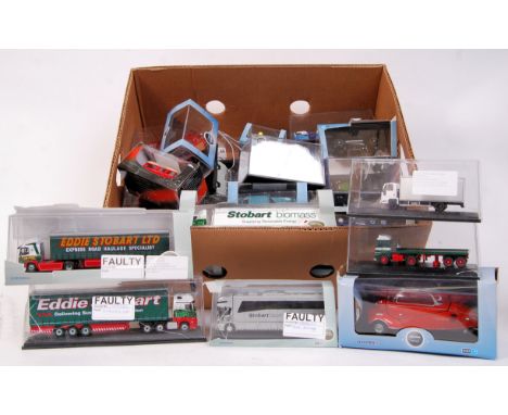
A large collection of assorted scale (1:43, 1:76) Oxford Diecast model cars, lorries, vans and related. All are factory ' Fault ' models and most are labelled as such - this is mostly 'damaged box' or 'torn card' but can sometimes mean a default with the product. Ranging from Eddie Stobart, classic cars, hauliers, and others. Approx 25x models in total .
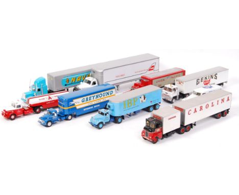
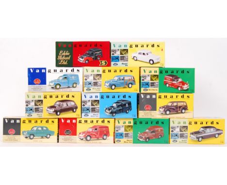
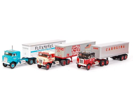
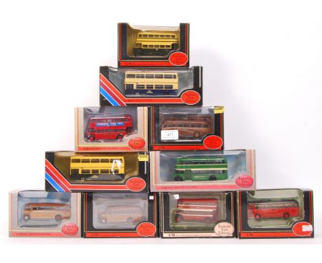
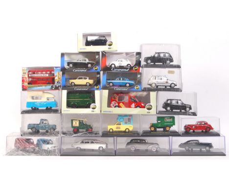
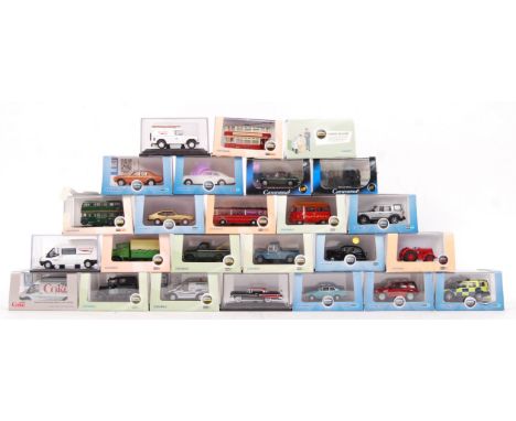
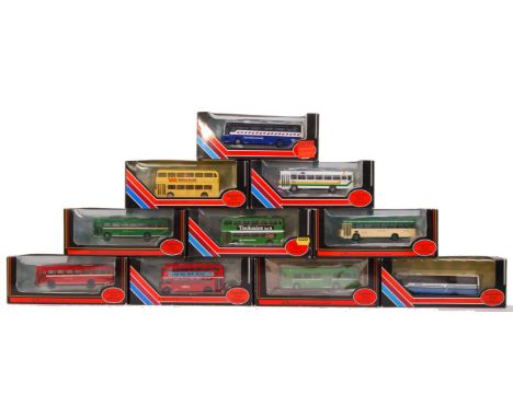
Lot 537
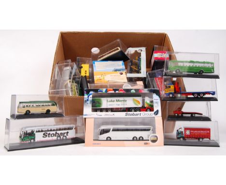
A large collection of 30x assorted Oxford Diecast 1:76 scale model cars and vehicles. Various sets, double sets etc. All within the original cases, some with outer card sleeves still present. Various themes - Commercials, Haulage, Limited Edition, Buses, Eddie Stobart, Chipperfields Circus and many others. Good selection.
-
216136 item(s)/page