We found 216136 price guide item(s) matching your search
There are 216136 lots that match your search criteria. Subscribe now to get instant access to the full price guide service.
Click here to subscribe- List
- Grid
-
216136 item(s)/page
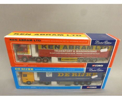

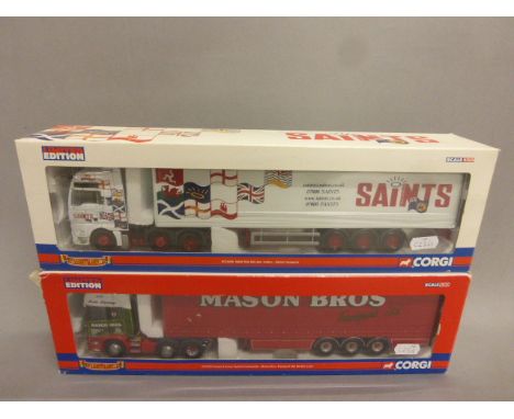
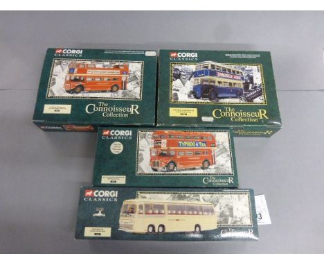
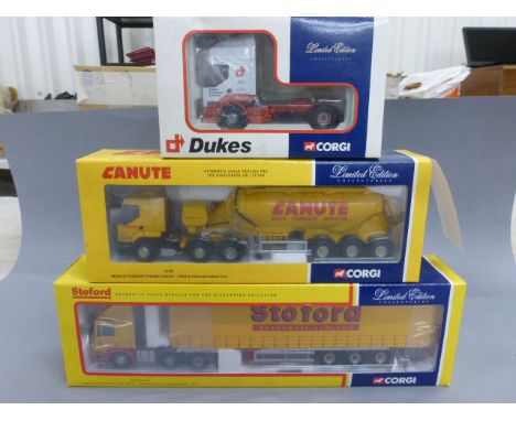
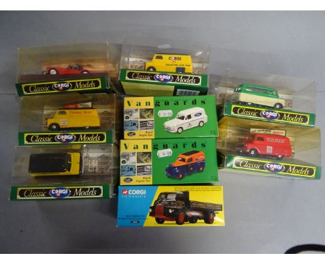
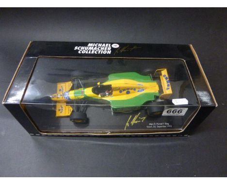
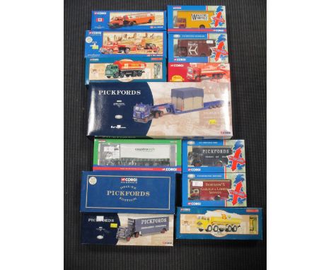
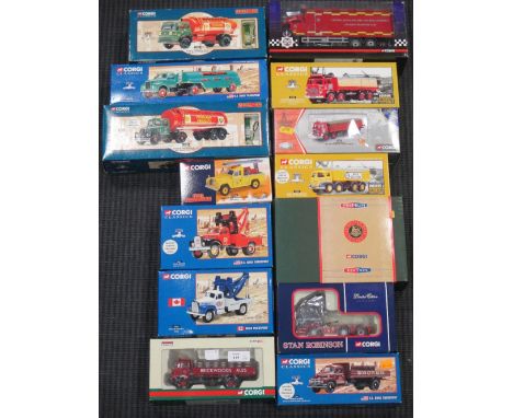
Lot 599
Corgi limited edition "Hauliers of Renown" cc13701 scania r series topline curtainside - mason bros, transport ltd, Boston, Lincs, scale 1:50, boxed with c.o.a, along with Corgi limited edition "Hauliers of Renown" cc13406 man tga xxl box trailer - saints transport scale 1:50, boxed with c.o.a


Lot 178
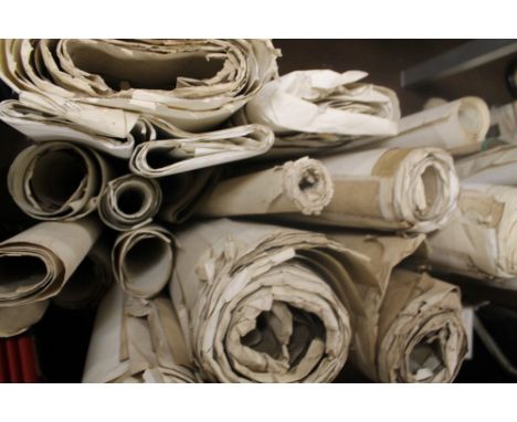
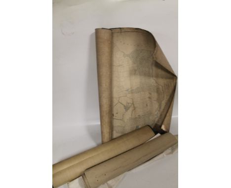
A PLAN OF LANDS BELONGING TO THE FREE GRAMMAR SCHOOL OF DILHORN IN THE PARISHES OF DILHORN AND CAVERSWALL IN THE COUNTY OF STAFFORD AND PARISH OF KILLAMARSH IN THE COUNTY OF DERBY, linen backed, scale 4 chains to an inch, 1835, 'Plan of Dilhorne Poperties Staffordshire For Sale September 2nd 1919' (Bagshaw & Sons) together with 'Plan of the township of Consall in the parish of Cheddleton' by Edwin Heaton, 1843 and a linen map of Cheadle Rural District Council (4)
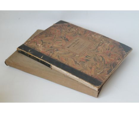
Lot 184
EDWARD QUIN - 'AN HISTORICAL ATLAS; in a series of maps of the world as known at different periods; constructed upon an uniform scale. and coloured according to the political changes of each period: accompanied by a narrative of the leading events exhibited in the maps: forming together A General View of Universal History, From the Creation to A.D. 1828', maps engraved by Sidney Hall, published for R. B. Seeley and W. Burnside 1830, together with 'The Times Atlas' 1895 (2)


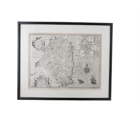
Lot 15
JOHN SPEED (1562-1629)The Countie of Leinster with The Citie of Dublin Described by Speed, 490 x 520, from the Theatre of the Empire of Great Britain. by John Speed, Pub. John Sudbury and George Humble, 1612. The earliest printed map of Leinster having been engraved in 1610, see the date in the scale cartouche at the bottom left. In the top right is an inset map of Dublin, with text verso. abl Maps of John Speed, p. 11.
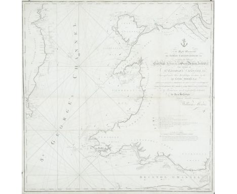
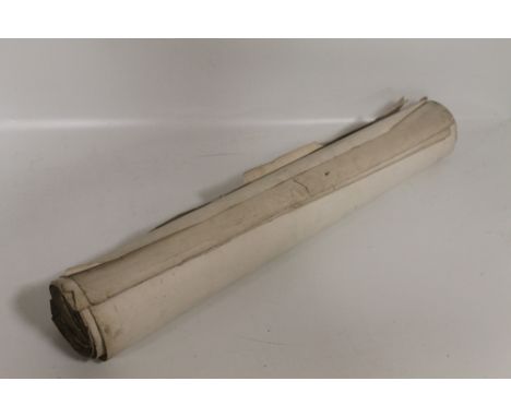
Lot 180
WILLIAM MORRISChart of St. George's Channel This is a loose chart, considerably modified from Lewis Morris's chart of 1748 covering the same area, which was published in 1800.It shows the Irish coast from Carnsore Point, county Wexford, to Lambay Island, county Dublin, as well as the British coast from north Somerset and Cardiff to Formby, Lancashire. The title in the centre right, unframed, reads To the Right Honourable the Lords Commissioners for executing the Office of Lord High Admiral of Great Britain, Ireland, &c. This Chart of St. George's Channel &c. Surveyed under their Lordships' direction by the late Lewis Morris Esqr. which is now extended by an Actual Survey (the whole Corrected & much Improved) from Liverpool to Cardiff in the Bristol Channel; is by Permission most respectfully dedicated by their Lordships' obedient humble servant William Morris. Below the lower margin is Published 25th Novr. 1800 by Willm. Morris. Engraved by Wm. Simpkins, Clements Inn. Below this is an explanation of symbols and below it, unframed, is A Scale of Leagues 10 [= 147 mm.]. There is one compass rose showing north to the top and there are scales of latitude and longitude (W. from London) along all four borders. 780 x 885mm.Provenance: The Richard S.J. Clarke Collection
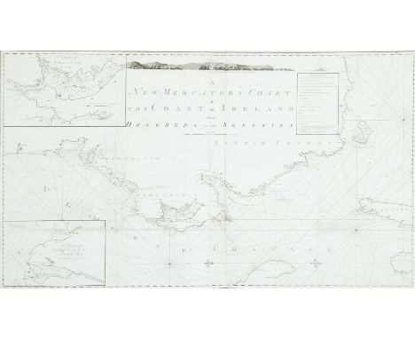
Lot 181
MURDOCH MACKENZIE XXXII. Chart of the North East Coast of IrelandThis chart was printed in a left and right half, which are separate in the B.L. version but can be mounted together. It has “Pl. 2” printed above the top right and left corners. It is one of the six charts published after Murdoch Mackenzie`s death but based on his surveys (only acknowledged in the second state).The title in the top centre, unframed, reads “A New Mercator`s Chart of the Coast of Ireland from Drogheda to the Skerries. The imprint below the frame reads “London, Published as the Act Directs, Jany. 1st 1800, by D. & E. Steel at the Navigation Warehouse, Little Tower Hill.” North is to the right and there are scales of latitude and longitude west from London along the four borders, There is a key to “References” or symbols framed to the left of the title and one coastal profile in the top centre. There are two insets:- 1. “A Chart of Strangford Loch”., with a “Scale of four English Miles 4” and showing north to the bottom right.2. “A Chart of Carlingford Loch and Dundalk Bay.”, with a “Scale of four English Miles 4”. North is unmarked but at the bottom. 1,310 x 765mm.
-
216136 item(s)/page